MyTopo
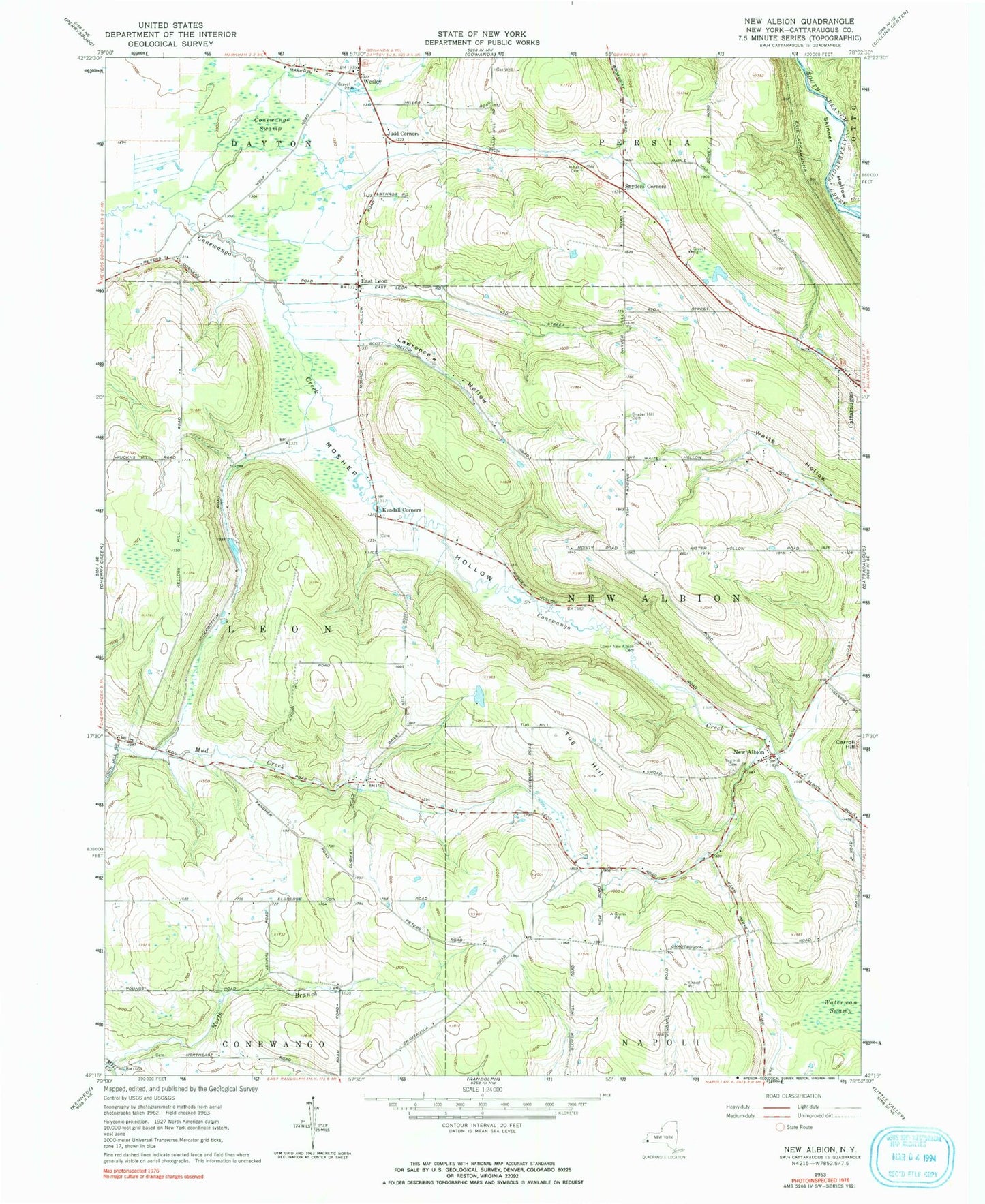
Classic USGS New Albion New York 7.5'x7.5' Topo Map
Couldn't load pickup availability
Historical USGS topographic quad map of New Albion in the state of New York. Map scale may vary for some years, but is generally around 1:24,000. Print size is approximately 24" x 27"
This quadrangle is in the following counties: Cattaraugus.
The map contains contour lines, roads, rivers, towns, and lakes. Printed on high-quality waterproof paper with UV fade-resistant inks, and shipped rolled.
Contains the following named places: Axville School, Conewango Swamp, East Leon, East Leon Wesleyan Church, Judd Corners, Kendall Corners, Kendall Flats Cemetery, Kysor Hill School, Lawrence Hollow, Lower New Albion Cemetery, Malks Cemetery, Mosher Hollow, Neverland Airport, New Albion, North Branch Mill Creek, Park Lawn Cemetery, Snyder Hill Cemetery, Snyder Hill School, Snyders Corners, Town Hill School, Town of New Albion, Tug Hill, Tug Hill Cemetery, Waterman Swamp, Wells Hill School, Wesley, Young School, ZIP Code: 14719