MyTopo
Classic USGS New Amsterdam Indiana 7.5'x7.5' Topo Map
Couldn't load pickup availability
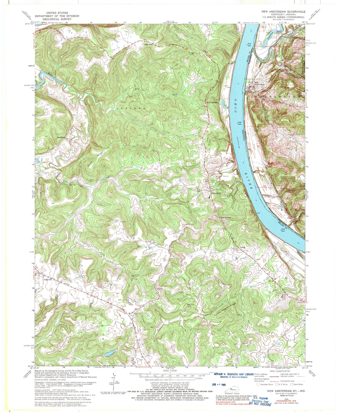
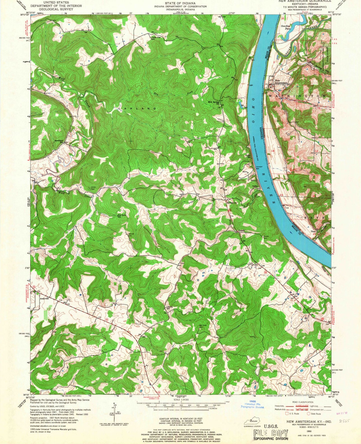
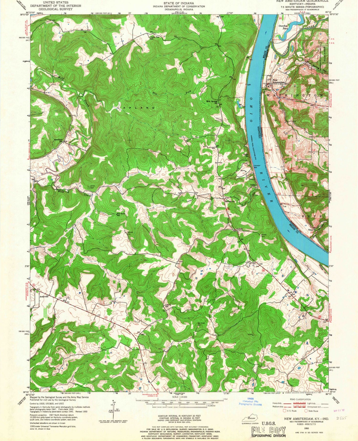
Historical USGS topographic quad map of New Amsterdam in the states of Indiana, Kentucky. Map scale may vary for some years, but is generally around 1:24,000. Print size is approximately 24" x 27"
This quadrangle is in the following counties: Harrison, Meade.
The map contains contour lines, roads, rivers, towns, and lakes. Printed on high-quality waterproof paper with UV fade-resistant inks, and shipped rolled.
Contains the following named places: Andyville, Ball Knob, Ball Knob Cemetery, Battletown, Battletown Fire Department, Battletown Post Office, Battletown-Payneville Division, Beechland, Big Spring, Blue Spring Hollow, Bogard - Greer Cemetery, Brock Creek, Cedar Flat, Cedar Flats, Chism Cemetery, Chism Ridge, Cold Springs, Crown Hill Cemetery, Crozier Bottom, Dry Fork, French Creek, Gas Well Hollow, Indian Creek, Lapland, Lawson Park, Liberty, Lodale, Lopp Hollow, Lopps Landing, Marve Bennett Cemetery, Mint Springs, New Amsterdam, Oolite, Overflow Pond, Prather Hollow, The Knob, Titus, Town of New Amsterdam, Turkey Heaven Ridge, ZIP Code: 40104