MyTopo
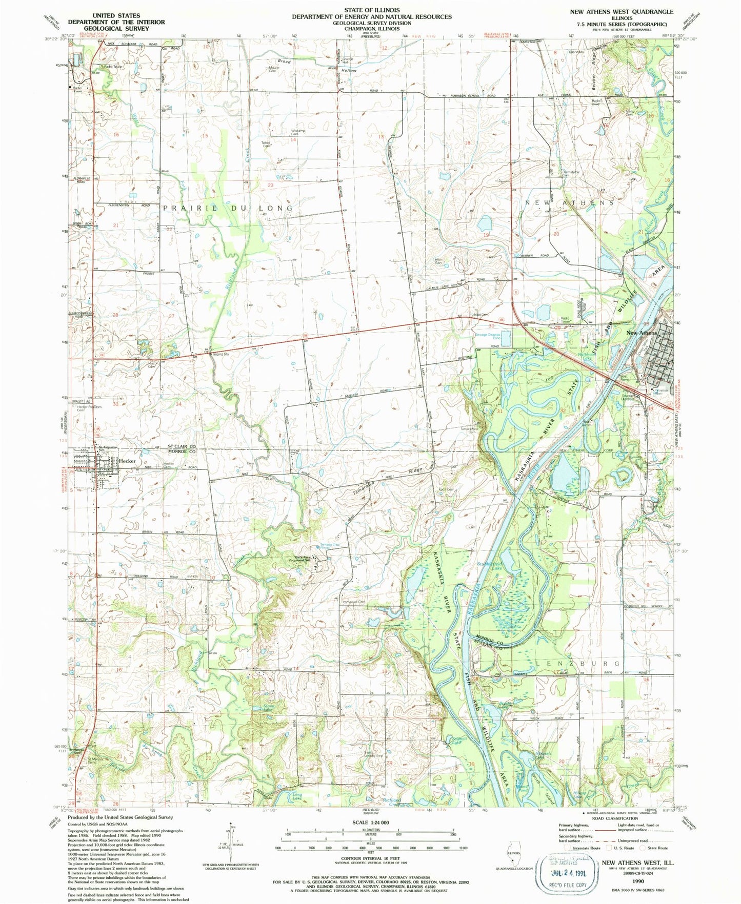
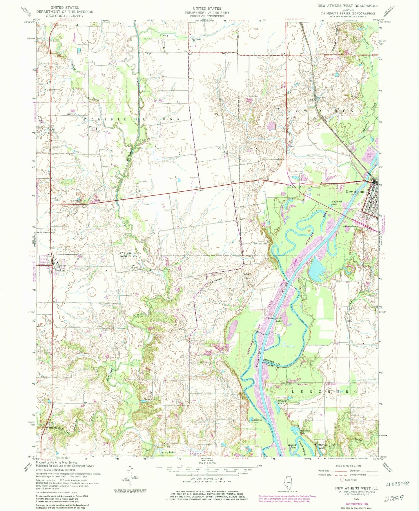
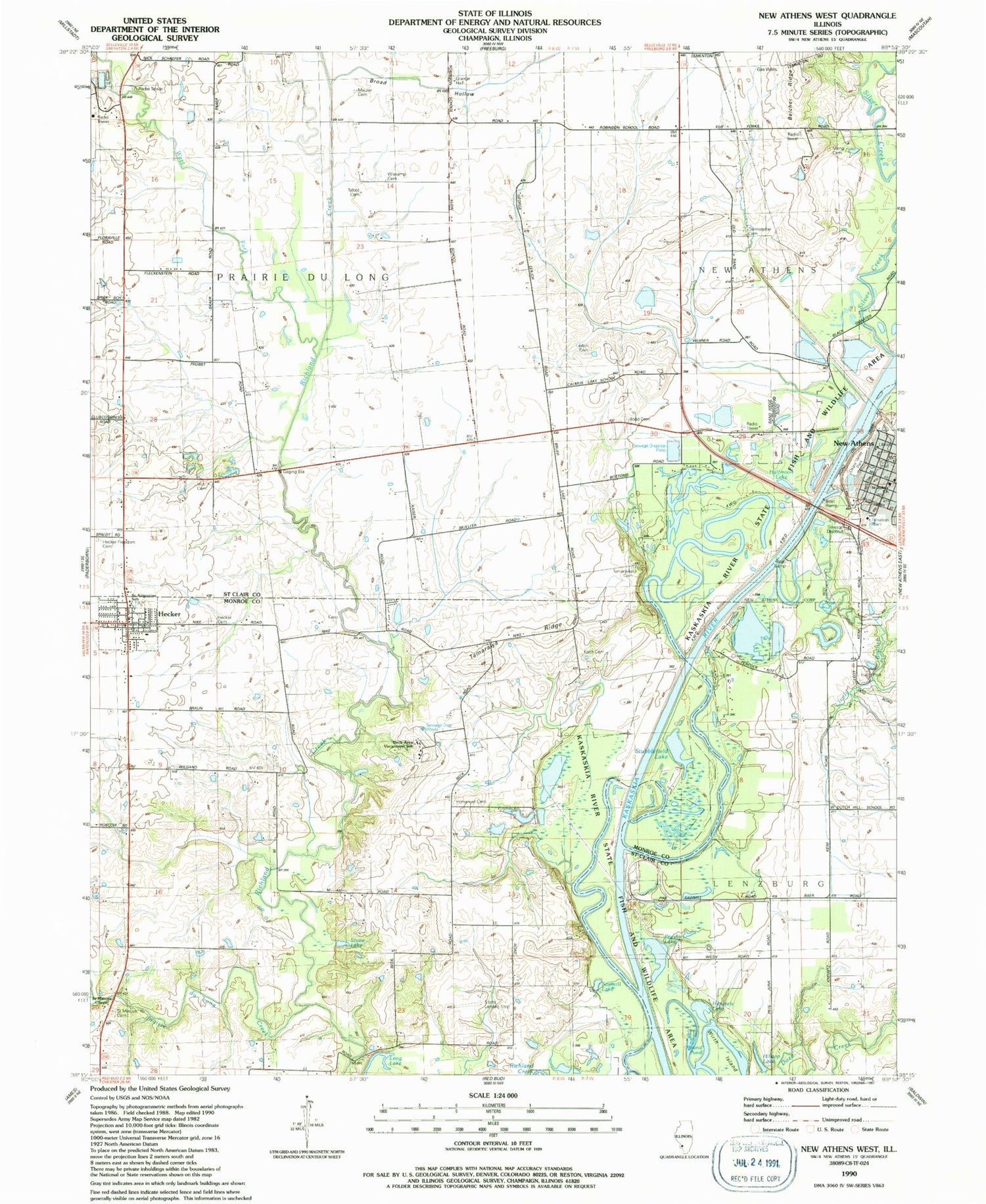
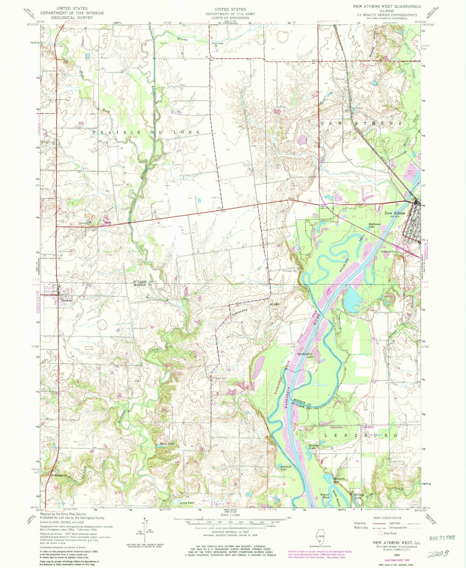
Classic USGS New Athens West Illinois 7.5'x7.5' Topo Map
Couldn't load pickup availability
Historical USGS topographic quad map of New Athens West in the state of Illinois. Map scale may vary for some years, but is generally around 1:24,000. Print size is approximately 24" x 27"
This quadrangle is in the following counties: Monroe, St. Clair.
The map contains contour lines, roads, rivers, towns, and lakes. Printed on high-quality waterproof paper with UV fade-resistant inks, and shipped rolled.
Contains the following named places: Beck Area Vocational Institute, Belcher Ridge, Brick School, Broad Hollow, Broad Hollow Grange, Broad Hollow School, Brush Lake, Brushy Lake, Calamus Lake School, Darmstatter Cemetery, Election Precinct 1, Election Precinct 6, Escarda Dairy, Five Points School, Friedens United Church of Christ, Halfmoon Lake, Hanft Park, Hecker, Hecker Cemetery, Hecker Fire Protection District, Hecker Post Office, Hentzels Lake, Hilltop Lake, Hirst Cemetery, Hirst School, Immanuel Cemetery, Immanuel Church, Kirsch School, Klein School, Koch Cemetery, Leilich Cemetery, Lementon, Lively Branch, Maurer Cemetery, McQuillan School, Meng Cemetery, New Athens, New Athens Ambulance Service, New Athens Assembly of God Church, New Athens City Hall, New Athens District Library, New Athens Post Office, Nike Site SL-40C, Nike Site SL-40L, Okaw Valley Park, Prairie du Long Creek, Round Pond, Saint Agatha Catholic Church, Saint Augustine Catholic Church, Saint Augustine Catholic School, Saint Johns United Church of Christ, Saint Marcus Cemetery, Saint Marcus Chapel, Sawmill Lake, Schwebel Brothers Dam, Schwebel Lake, Silver Creek, Smith RLA Airport, Stehfest Freedom Cemetery, Stone Lake, Stubblefield Lake, Talbot Cemetery, Tamarawa Cemetery, Tamarawa Ridge, Todd Cemetery, Township of Prairie Du Long, Upper School, Village of Hecker, West Dutch Hill School, West Fork Richland Creek, White Cabin Slough, Wildy Field, Wirth Island, Wiskamp Cemetery, ZIP Codes: 62248, 62264


