MyTopo
Classic USGS New Berlin North New York 7.5'x7.5' Topo Map
Couldn't load pickup availability
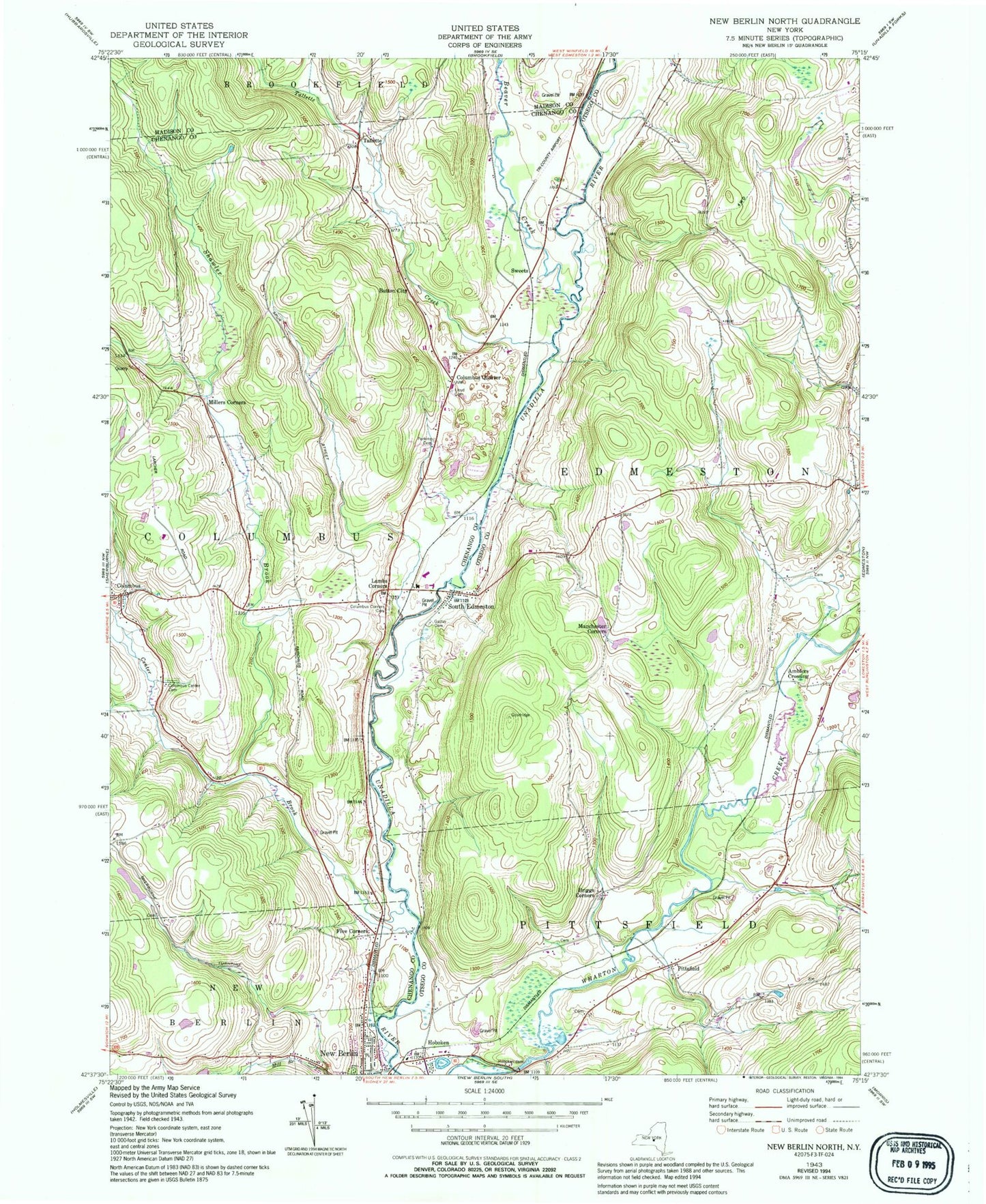
Historical USGS topographic quad map of New Berlin North in the state of New York. Map scale may vary for some years, but is generally around 1:24,000. Print size is approximately 24" x 27"
This quadrangle is in the following counties: Chenango, Madison, Otsego.
The map contains contour lines, roads, rivers, towns, and lakes. Printed on high-quality waterproof paper with UV fade-resistant inks, and shipped rolled.
Contains the following named places: Amblers Crossing, Beaver Creek, Briggs Corners, Button City, Carter School House Cemetery, Center Brook, Columbus, Columbus Center Cemetery, Columbus Corners Cemetery, Columbus Quarter, Edmeston Census Designated Place, Fairkit Farm, Five Corners, Gazlay Cemetery, Greenwood Cemetery, Hoboken, Hoboken Dam, Hopestead Hill Farm, Lambs Corners, Manchester Corners, Millers Corners, Peet Hook Pastures, Perkins Cemetery, Pittsfield, Pittsfield Volunteer Fire Department, Saint Theresa's Roman Catholic Church, School Number 9, Shawler Brook, South Edmeston, South Edmeston Census Designated Place, South Edmeston Community Church, Sweets, Tallette, Tallette Creek, The Town of New Berlin Police Department, Town of Columbus, Town of Edmeston, Town School Number 3, Town School Number 9, Tri County Airways, ZIP Code: 13411