MyTopo
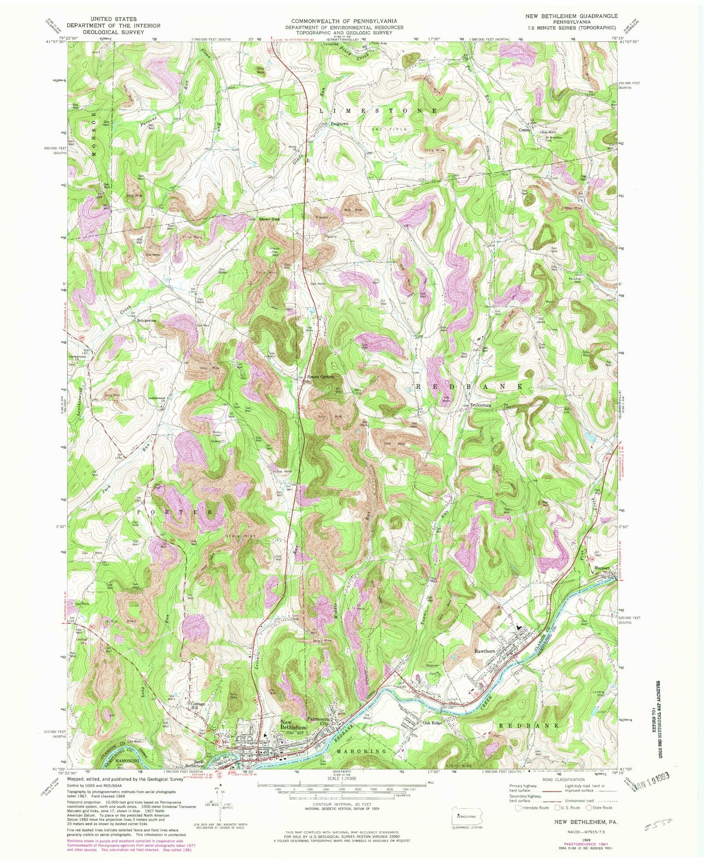
Classic USGS New Bethlehem Pennsylvania 7.5'x7.5' Topo Map
Couldn't load pickup availability
Historical USGS topographic quad map of New Bethlehem in the state of Pennsylvania. Map scale may vary for some years, but is generally around 1:24,000. Print size is approximately 24" x 27"
This quadrangle is in the following counties: Armstrong, Clarion.
The map contains contour lines, roads, rivers, towns, and lakes. Printed on high-quality waterproof paper with UV fade-resistant inks, and shipped rolled.
Contains the following named places: Alcola, Alcola Trinity Cemetery, Borough of Hawthorn, Borough of New Bethlehem, Brinkerton, Brinkerton Post Office, Citizens Water Company Dam, Cottage Hill, Crates, Downs Cemetery, Emmanuel Evangelical Lutheran Cemetery, Fairmont City, Fairmount City Post Office, Frazier Cemetery, Frazier School, Frogtown, Hawthorn, Hawthorn Area Volunteer Fire Department Station 560, Hawthorn Cemetery, Hawthorn Post Office, Jack School, Leatherwood Cemetery, Leatherwood Church, Leisure Run, Long Run, Mayport, Mayport Airport, Mayport Post Office, Middle Run, Middle Run Cemetery, Millville, Nevin Church, New Bethlehem, New Bethlehem Cemetery, New Bethlehem Fire Company Station 600, New Bethlehem Mennonite Church Cemetery, New Bethlehem Police Department, New Bethlehem Post Office, New Mayville Post Office, Oak Hill School, Oak Ridge, Oak Ridge Post Office, Paradise Cemetery, Parsons Run, Pine Creek, Saint Charles Cemetery, Saint Nicholas Cemetery, Salem Cemetery, Sloan Gap, Spaces Corners, Town Run, Township of Redbank, Truittsburg, ZIP Codes: 16224, 16230, 16242, 16245


