MyTopo
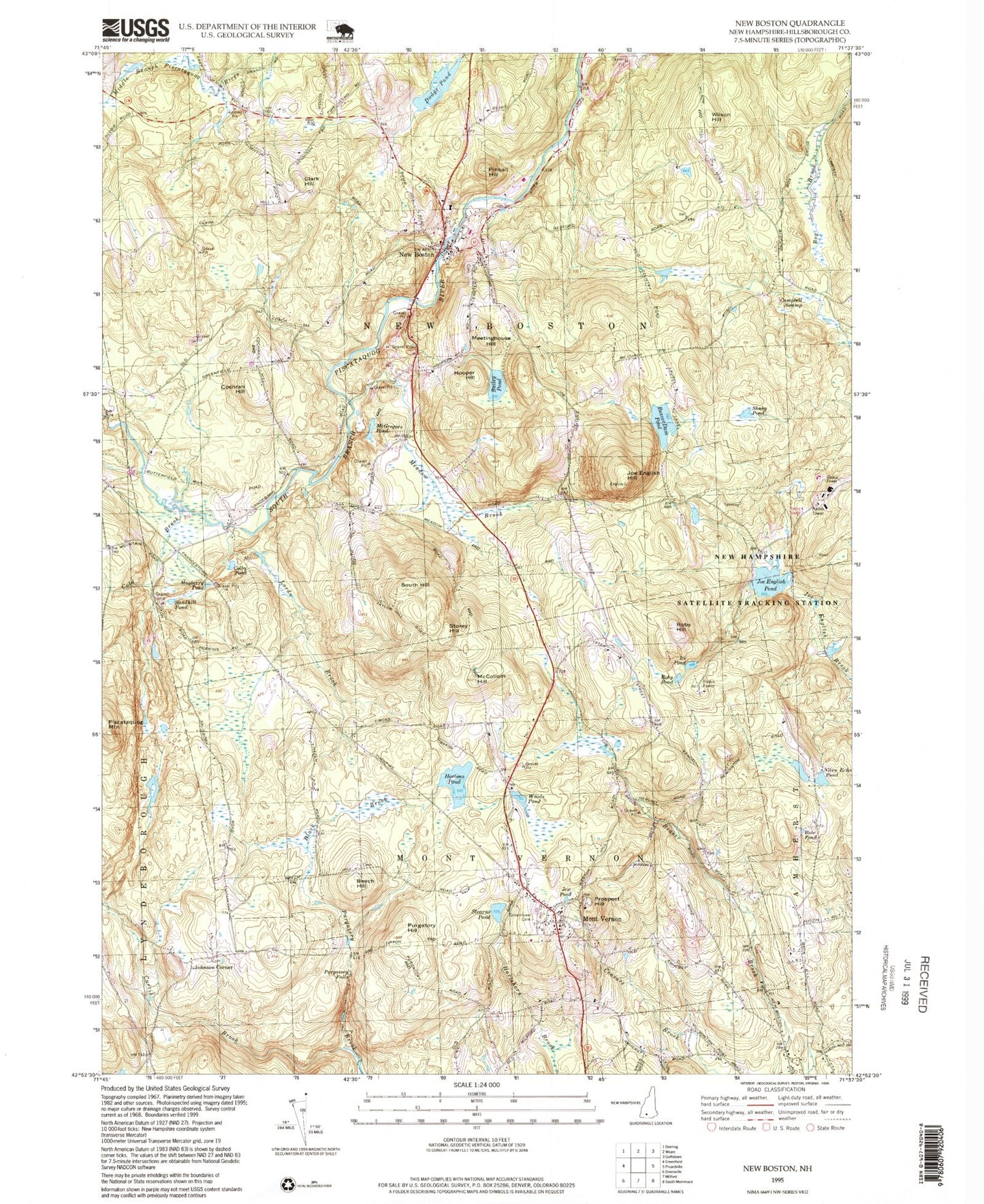
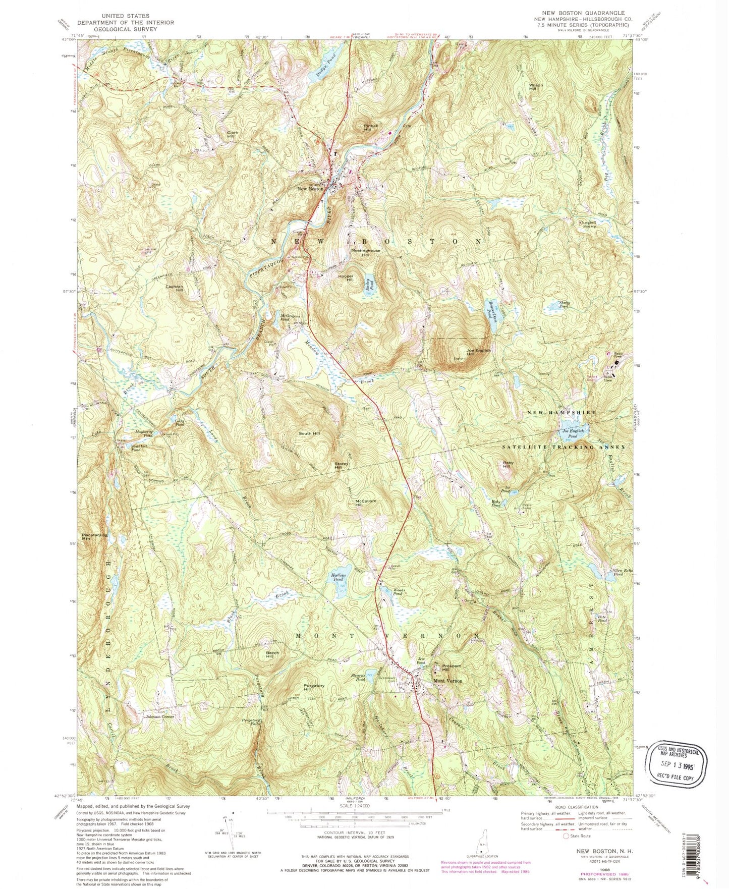
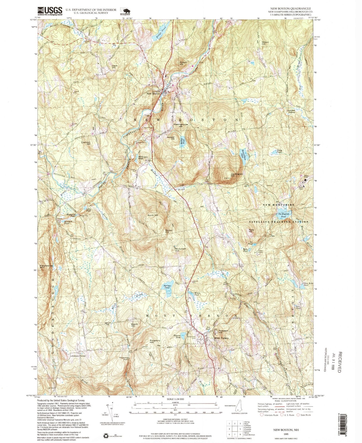
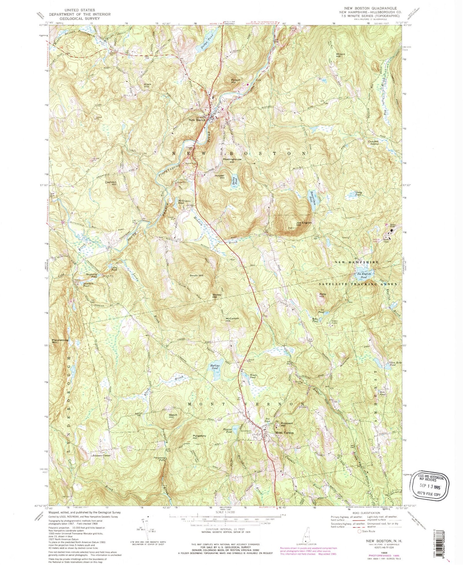
Classic USGS New Boston New Hampshire 7.5'x7.5' Topo Map
Couldn't load pickup availability
Historical USGS topographic quad map of New Boston in the state of New Hampshire. Typical map scale is 1:24,000, but may vary for certain years, if available. Print size: 24" x 27"
This quadrangle is in the following counties: Hillsborough.
The map contains contour lines, roads, rivers, towns, and lakes. Printed on high-quality waterproof paper with UV fade-resistant inks, and shipped rolled.
Contains the following named places: Bailey Pond, Bate Pond, Beaver Dam Pond, Beech Hill, Black Brook, Campbell Swamp, Clark Hill, Cochran Hill, Colby Pond, Cold Brook, Curtis Brook, Dodge Pond, Glen Echo Pond, Greenlawn Cemetery, Hooper Hill, Hortons Pond, Ice Pond, Carleton Pond, Joe English Hill, Joe English Pond, Lords Brook, Mayberry Pond, McCollom Hill, McGregors Pond, Meadow Brook, Meetinghouse Hill, Mont Vernon, New Boston, Old Country Road, Pinball Hill, Prospect Hill, Purgatory Falls, Purgatory Hill, Roby Hill, Roby Pond, Sandhill Pond, Shaky Pond, South Hill, Stearns Pond, Storey Hill, Wilson Hill, Woods Pond, Johnson Corner, Hillsborough County, Austins Landing Heliport, Huff Memorial Airport, Town of Mont Vernon, Town of New Boston, Fearon Farm Pond Dam, Fearon Farm Pond, Campbell Pond, Hillsborough County Agricultural Fairgrounds, Mont Vernon Congregational Church, Mont Vernon Post Office, Mont Vernon Village School, New Boston Central School, New Boston Post Office, New Boston Air Station, Mont Vernon Fire Department, New Boston Fire Department, George O. Carleton Park, Mont Vernon Police Department, New Boston Police Department, Cemetery Road Cemetery, Klondike Corner Census Designated Place, New Boston Census Designated Place


