MyTopo
Classic USGS New Byram Mississippi 7.5'x7.5' Topo Map
Couldn't load pickup availability
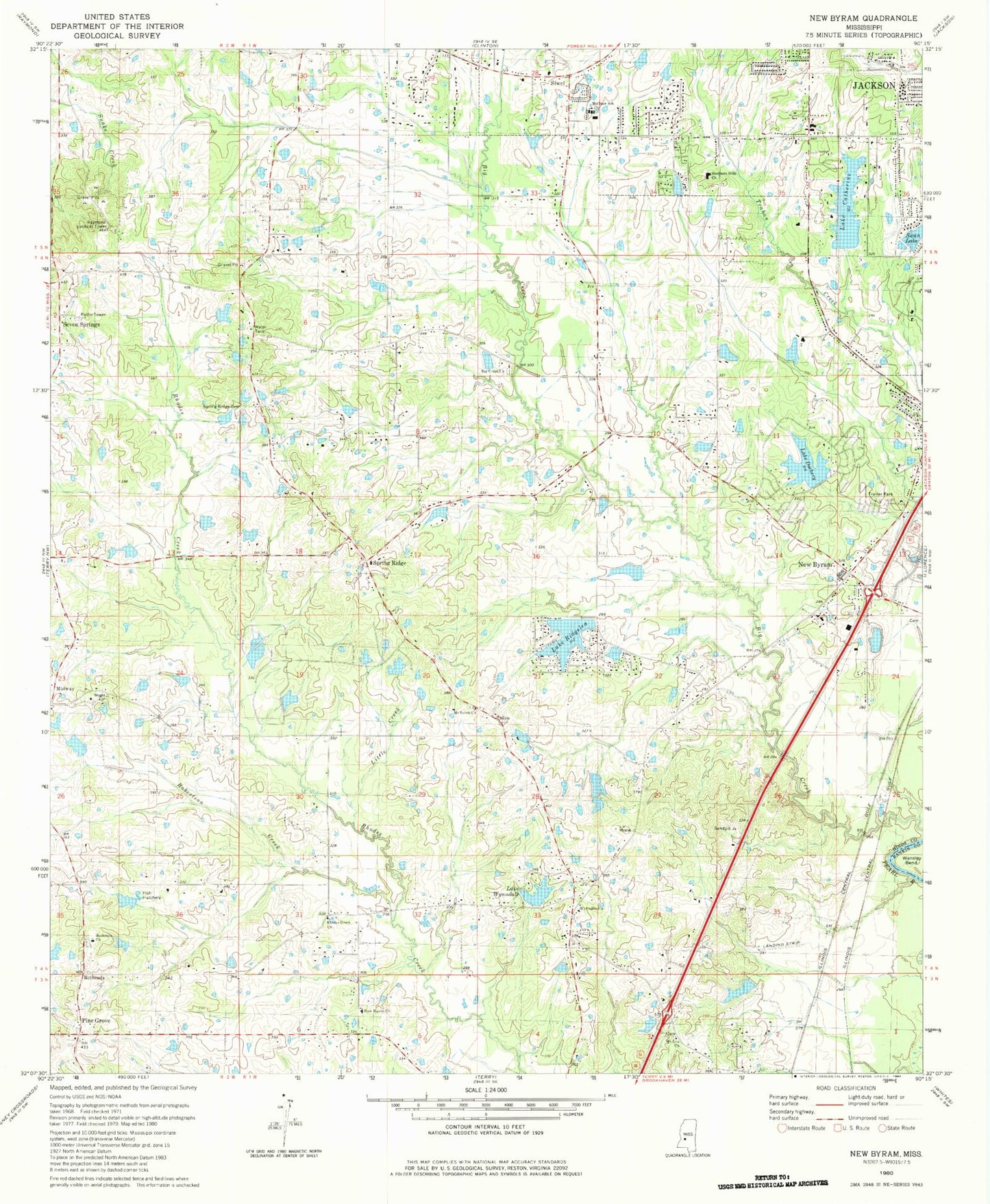
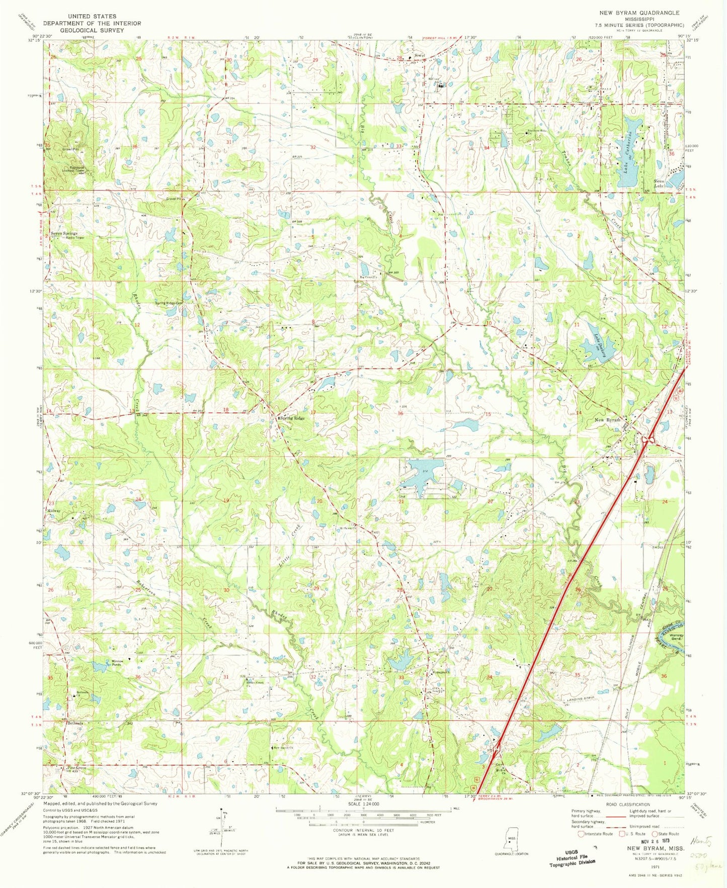
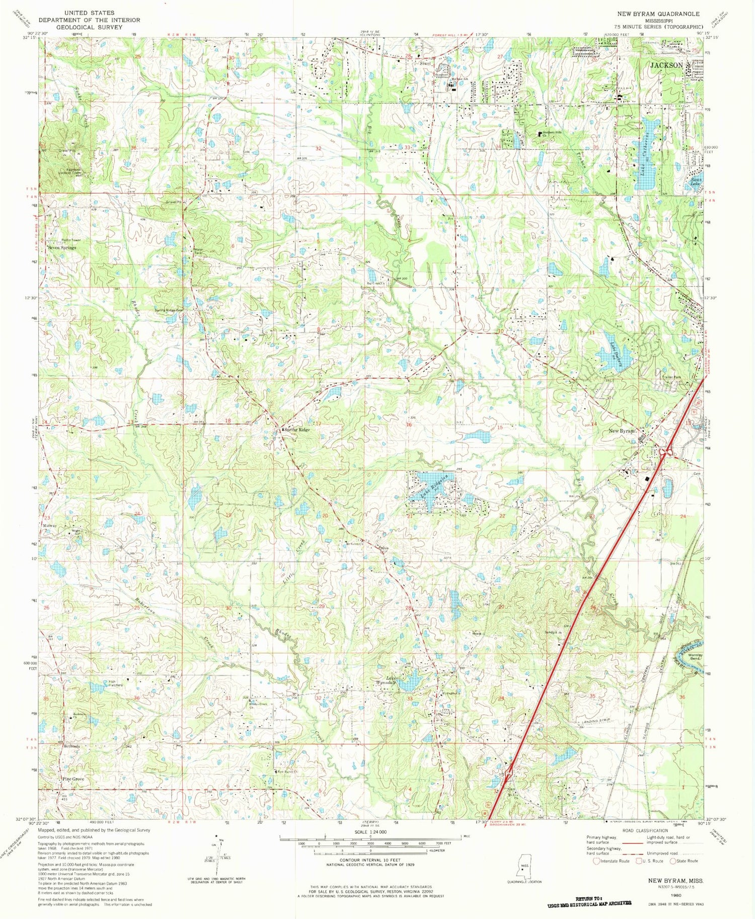
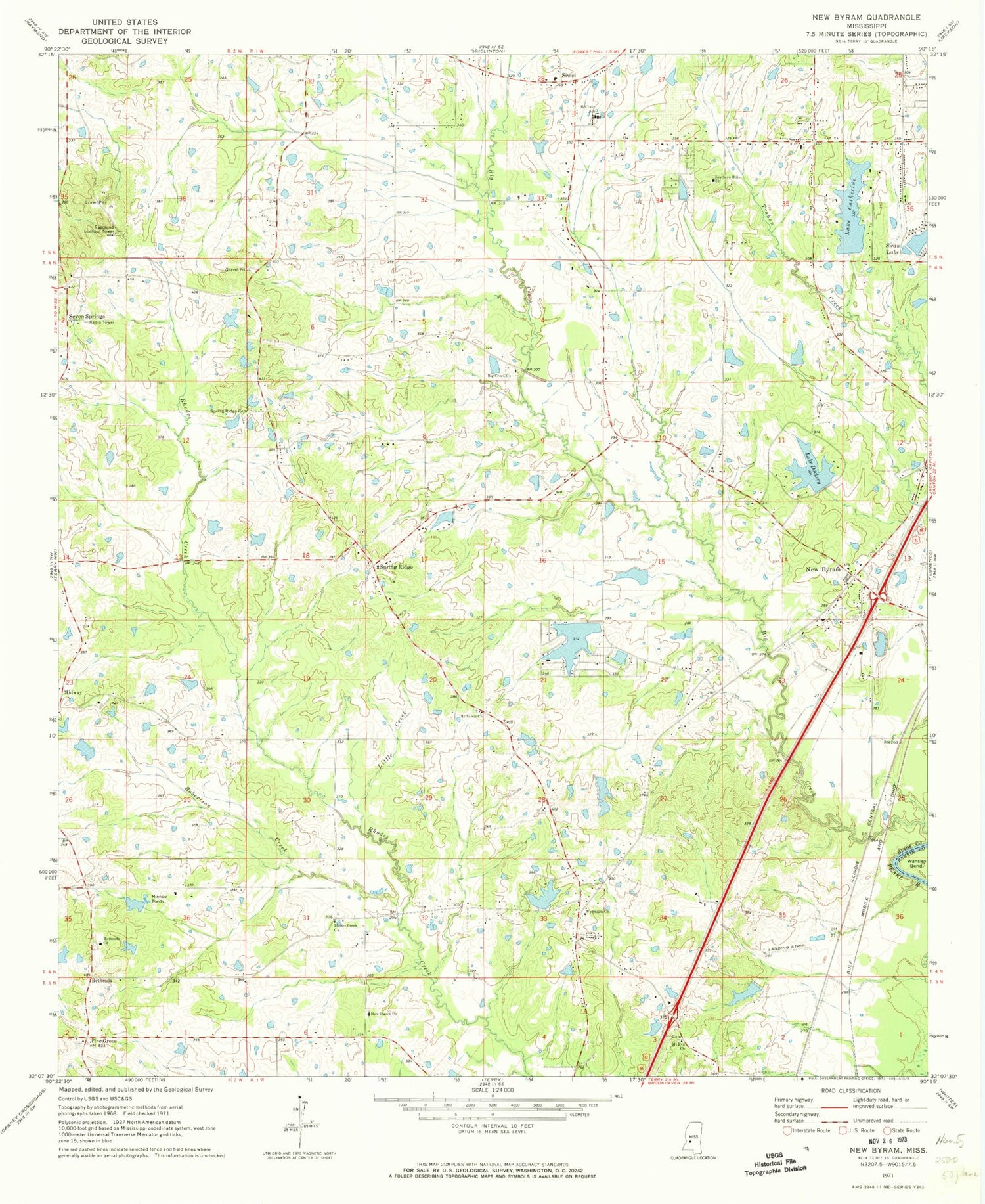
Historical USGS topographic quad map of New Byram in the state of Mississippi. Map scale may vary for some years, but is generally around 1:24,000. Print size is approximately 24" x 27"
This quadrangle is in the following counties: Hinds, Rankin.
The map contains contour lines, roads, rivers, towns, and lakes. Printed on high-quality waterproof paper with UV fade-resistant inks, and shipped rolled.
Contains the following named places: A W Wright Pond Dam, Bethesda, Bethesda Church, Big Creek Cemetery, Big Creek Missionary Baptist Church, Big Creek School, Briarcliff, Brookleigh, Brookwood, Brookwood Country Club, Brookwood Country Club Lake Dam, Brookwood Pines, Burtons Pond Dam, Byram Baptist Church, Byram Census Designated Place, Byram Post Office, Byram School, Byram Volunteer Fire Department, C B Blaine Pond Dam, City of Byram, Collin Lake Dam, Coopers Wells, Coopersville Post Office, Copeland Pond Dam, Eleven Mile Creek, Fellowship Baptist Church, Gary Estates, Henderson Baptist Church, Heritage Estates, Jacks Pond Dam, Jackson Fire Department District 2 Station 22, Jackson Fire Department Station 25, James Burnett Pond Dam, L T Brantley Lake Dam, Lake Catherine, Lake Catherine Dam, Lake Dockery, Lake Dockery Dam, Lake Wynndale, Lakeshore Baptist Church, Latham Pond Dam, Little Creek, Lost Lake, McCluer School, Morrisville, Mount Eva Missionary Baptist Church, Mount Salem Church, New Byram, New Haven Church, Newtown, Pine Grove, Raintree Place, Raymond Lookout Tower, Reigelea Lake, Rhodes Creek Church, Rhodes Creek School, Rice Acres Lake Dam, Ridgelea Lake Dam, Robertson Creek, Seven Springs, Seven Springs School, Siwel, South Jackson United Pentecostal Church, Southern Hills Baptist Church, Spring Ridge, Spring Ridge Cemetery, Spring Ridge Church, Sunkist, Swan Lake, Swan Lake Dam, T D Buford Pond Dam, T M Moore Pond Dam, Wansley Bend, Windsor Forest, Wynndale Church, Yelverton Pond Dam, ZIP Codes: 39212, 39272


