
MyTopo
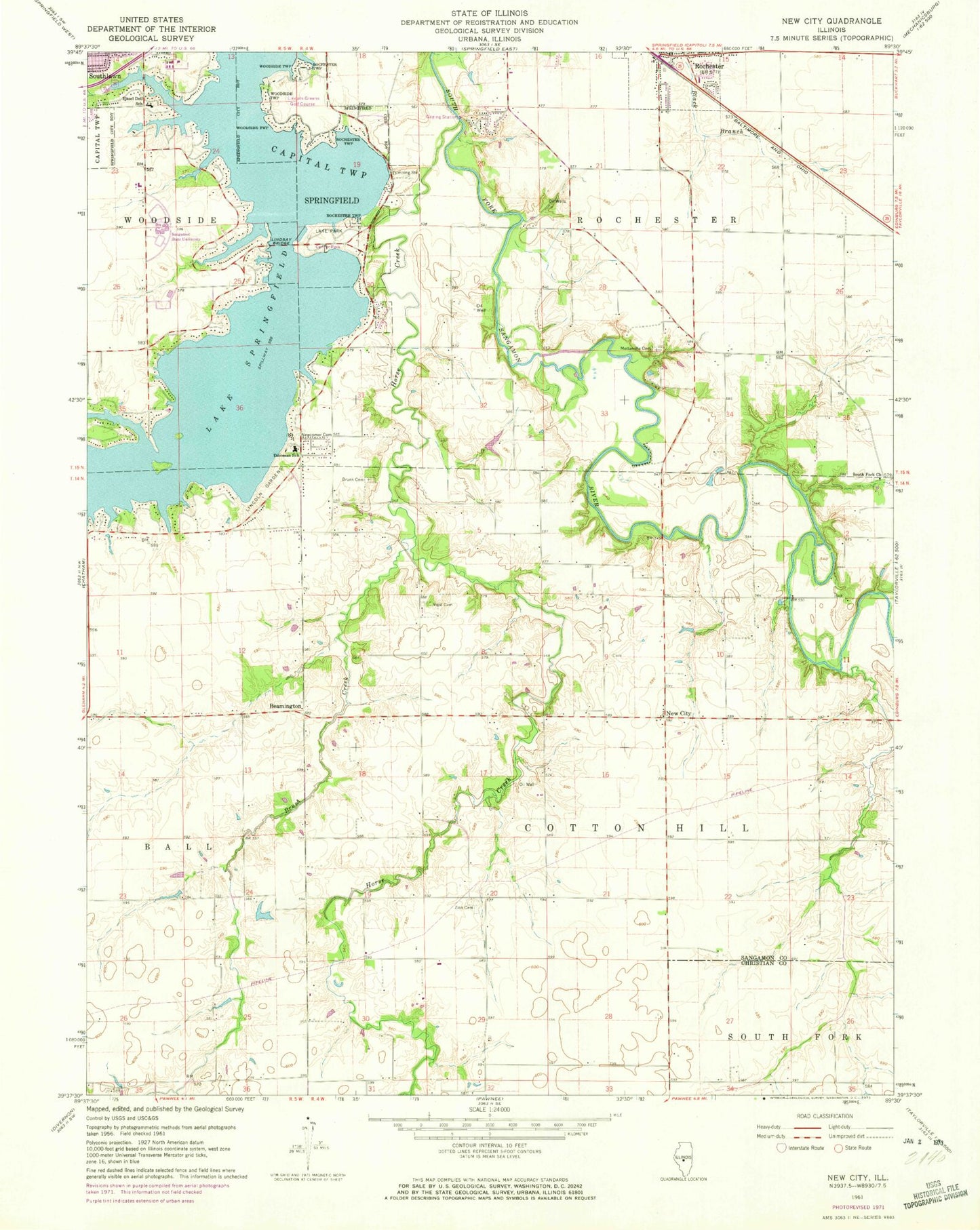
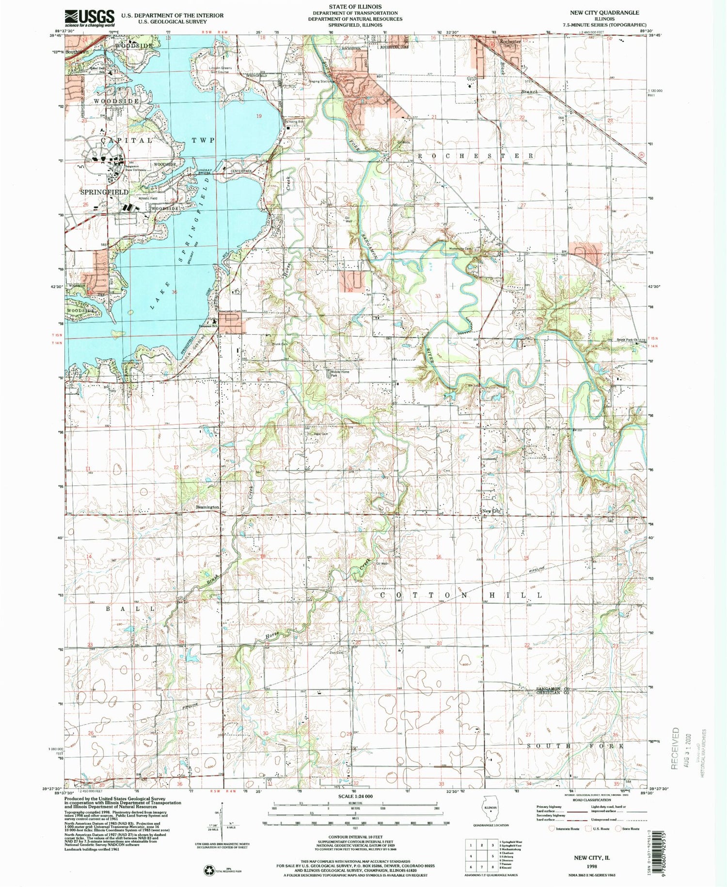
Classic USGS New City Illinois 7.5'x7.5' Topo Map
Couldn't load pickup availability
Historical USGS topographic quad map of New City in the state of Illinois. Map scale may vary for some years, but is generally around 1:24,000. Print size is approximately 24" x 27"
This quadrangle is in the following counties: Christian, Sangamon.
The map contains contour lines, roads, rivers, towns, and lakes. Printed on high-quality waterproof paper with UV fade-resistant inks, and shipped rolled.
Contains the following named places: Air Evac Lifeteam Medical Transport, Beamington, Bell School, Brush Creek, Building A, Building B, Building C, Building D, Building E, Building F, Building G, Building H, Building I, Building J, Building K, Center Park, City of Springfield, Colean School, Cotton Hill, Cotton Hill Academy, Cottonhill Post Office, Crabapple School, David Brunk Cemetery, Diocesan School, Drury Jones School, Fairview School, Forest Grove School, Hazel Dell Elementary School, Holmes Southeast Airport, Horse Creek, Joe Brunk Cemetery, Lake Park, Lake Springfield, Lincoln Greens Golf Course, Lincoln Land Community College Heliport, Lincoln Memorial Gardens, Lindsey Bridge, Mottarville School, Motterville Cemetery, New City, Newcomer Cemetery, Rienzi School, Rochester, Rochester Fire Protection District, Rochester Police Department, Rochester Post Office, Schneider Heliport, South Cotton Hill School, South Fork Cemetery, South Fork Church, Township of Capital, Township of Cotton Hill, Township of Rochester, University of Illinois at Springfield, Vigal Cemetery, Zion Cemetery