MyTopo
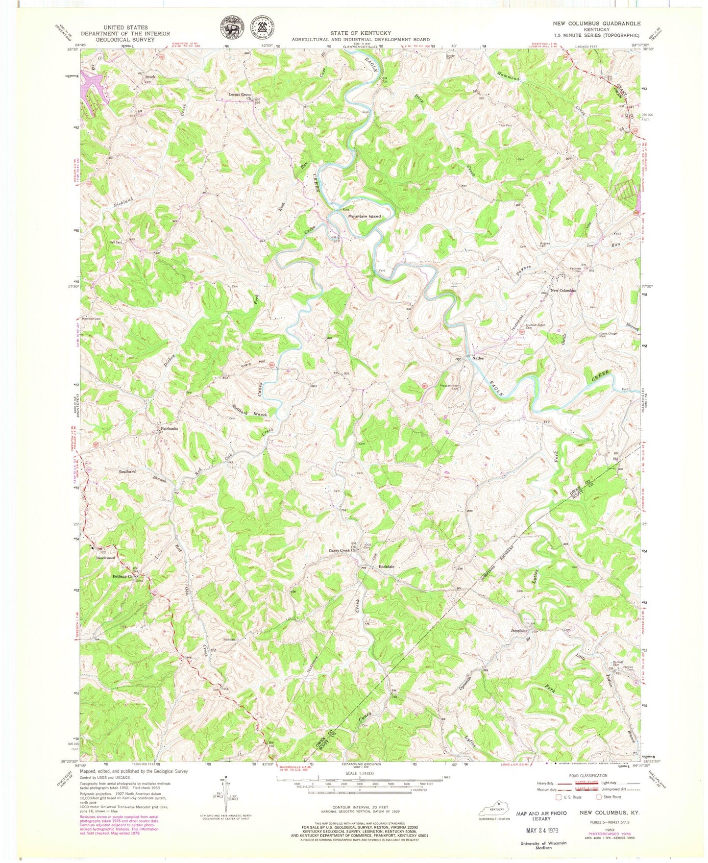
Classic USGS New Columbus Kentucky 7.5'x7.5' Topo Map
Couldn't load pickup availability
Historical USGS topographic quad map of New Columbus in the state of Kentucky. Map scale may vary for some years, but is generally around 1:24,000. Print size is approximately 24" x 27"
This quadrangle is in the following counties: Grant, Owen, Scott.
The map contains contour lines, roads, rivers, towns, and lakes. Printed on high-quality waterproof paper with UV fade-resistant inks, and shipped rolled.
Contains the following named places: Barnett Cemetery, Beechwood, Beechwood Post Office, Bethany, Bethany Christian Church, Bethany Christian Church Cemetery, Bethany Post Office, Breck, Breck Post Office, Caney Creek, Caney Fork Baptist Church, Caney Fork Baptist Church Cemetery, Clark Hollow, Davis Chapel Cemetery, Davis Chapel Methodist Episcopal Church South, Deep Creek, Dickey Fork, Fairbanks, Fairbanks Post Office, Fairview Cemetery, Frame School, Gwills Branch, Hammond School, Hawkins School, Henderson School, Hensley Cemetery, Holiness Church, Hudson - Abbot Cemetery, Hughes Cemetery, Jones School, Josephine, Lees Mill Covered Bridge, Lees Mill Post Office, Little Indian Branch, Locust Grove Church, Lytles Fork, Morrison Cemetery, Mountain Island, Mountain Island Baptist Church, Mountain Island Post Office, Naill Cemetery, Natlee, Natlee Post Office, New Columbus, New Columbus Post Office, New Columbus School, Old Beechwood Road Cemetery, Opossum Branch, Paynes Run, Pleasant Grove Baptist Church, Pleasant View Cemetery, Red Oak Creek, Rockdale, Rockdale Post Office, Rush Run, School Number Twenty-Four, Shellbark Branch, Slayton Post Office, Souder Cemetery, South Owen Volunteer Fire Department, Southard Branch, True Cemetery


