MyTopo
Classic USGS New Concord Ohio 7.5'x7.5' Topo Map
Couldn't load pickup availability
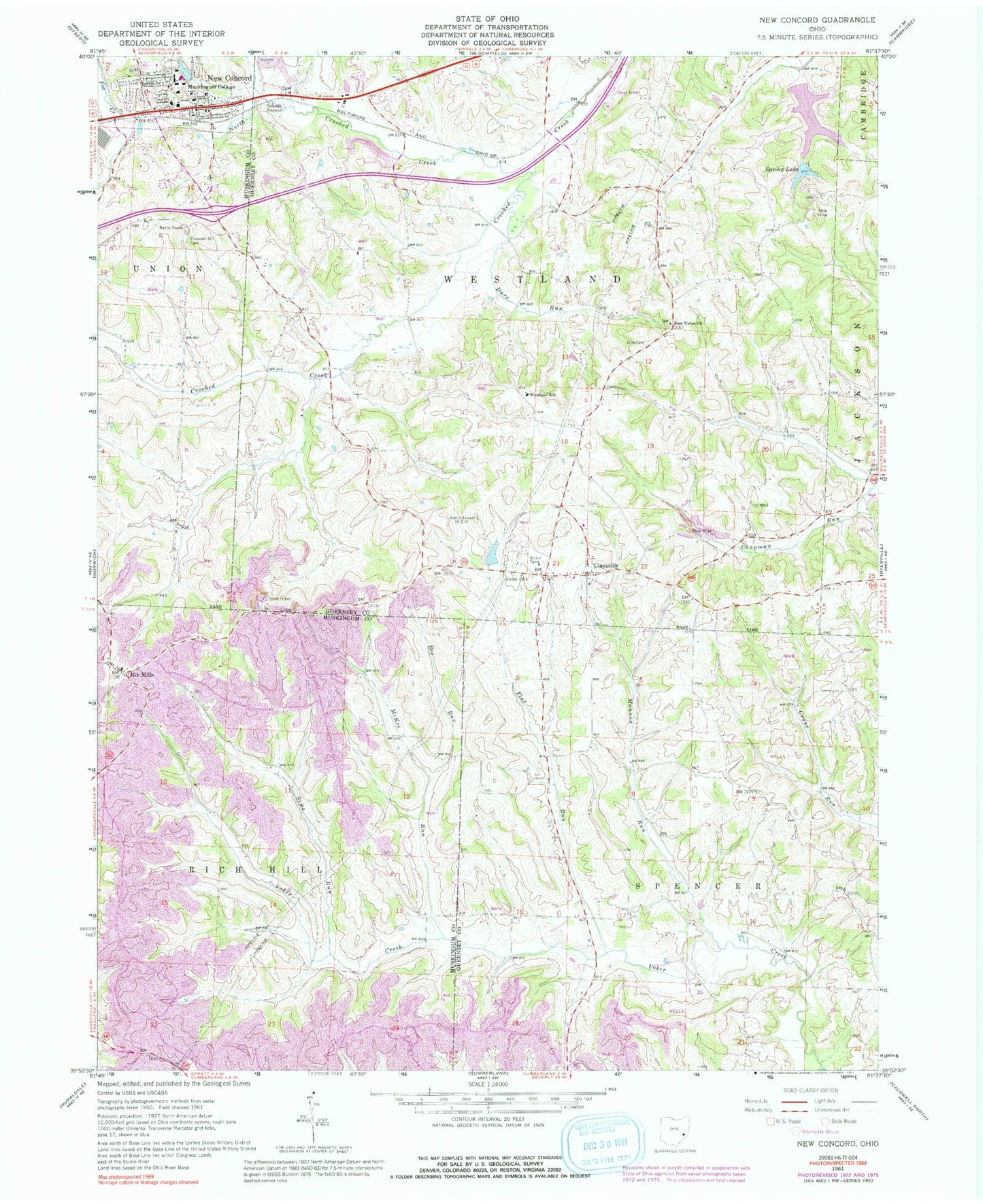
Historical USGS topographic quad map of New Concord in the state of Ohio. Map scale may vary for some years, but is generally around 1:24,000. Print size is approximately 24" x 27"
This quadrangle is in the following counties: Guernsey, Muskingum.
The map contains contour lines, roads, rivers, towns, and lakes. Printed on high-quality waterproof paper with UV fade-resistant inks, and shipped rolled.
Contains the following named places: Bee Run, Beech Grove School, Bunker Hill School, Cedar Cemetery, Center School, Church of Christ, Claysville, Claysville Post Office, College Drive Presbyterian Church, College Hill School, Colonial Heights, Convict School, Crooked Creek Cemetery, Dare Run, East Union Cemetery, East Union United Presbyterian Church, Flat Run, Fox Creek, Ginger Hill School, Goshen Church, Iowa School, Luburgh Lake, Luburgh Lake Dam, Mannon Run, McKee Run, Morgan Manor, Muskingum College, Muskingum College Campus Historic District, New Concord, New Concord Cemetery, New Concord Elementary School, New Concord Fire Department, New Concord Police Department, New Concord Post Office, New Concord United Methodist Church, North Crooked Creek, Ohio Power Company Pond Mur-3, Ohio Power Company Pond Mur-3 Dam, Ohio Power Company Pond Mur-4, Ohio Power Company Pond Mur-4 Dam, Pleasant Hill Cemetery, Pleasant Ridge School, Pleasant Valley, Rix Mills, Rix Mills Post Office, Rix Mills United Presbyterian Church, Rough and Ready School, Sims Run, South Fork York Creek, Spring Lake, Spring Lake Dam, Sugar Grove School, Sunnydale School, Township of Rich Hill, Township of Spencer, Township of Westland, Uniondale School, Unity Hall School, Village of New Concord, Virginia School, Westland School, Westminster Presbyterian Church, WMCO-FM (New Concord), Zion Cemetery


