MyTopo
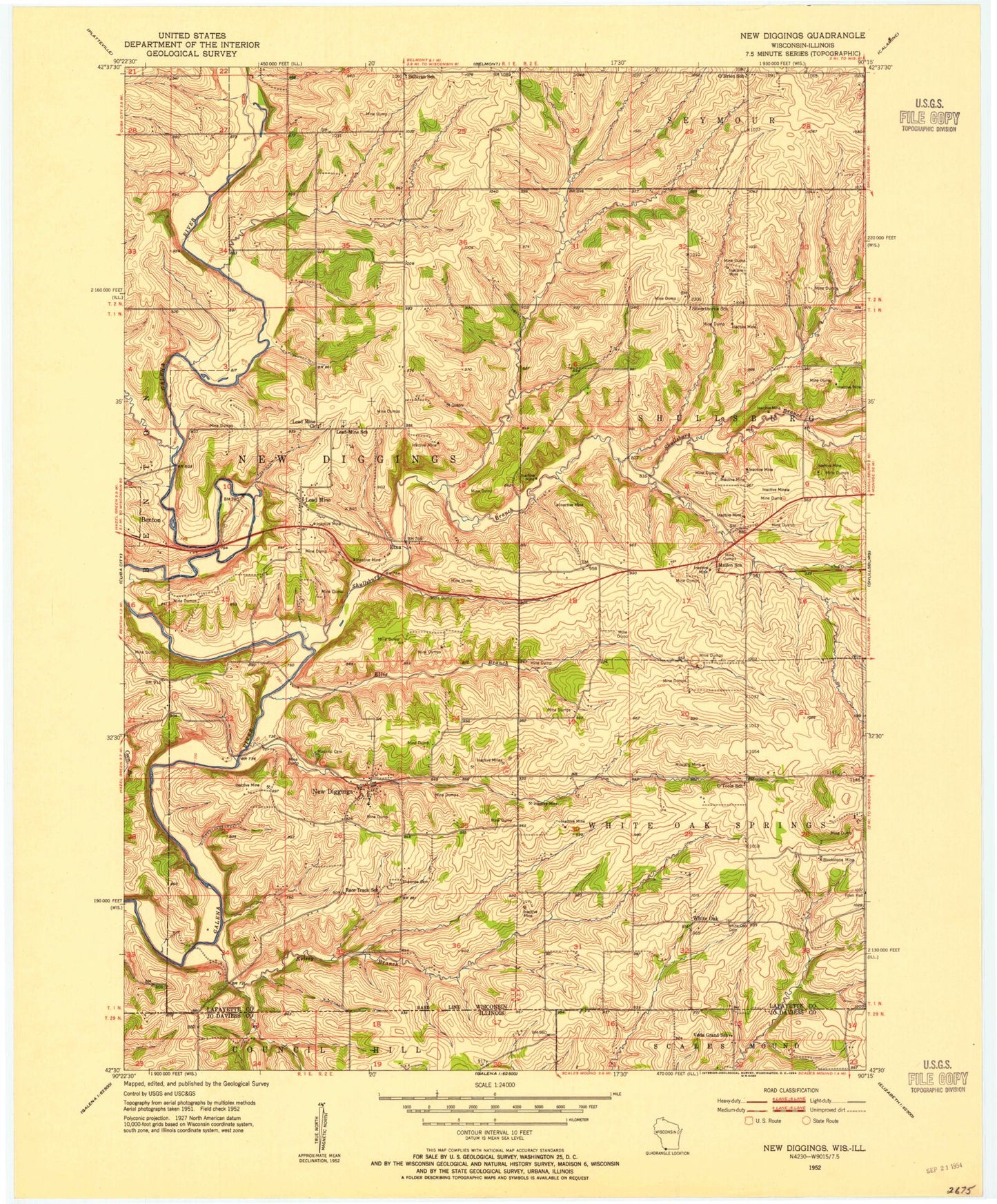
Classic USGS New Diggings Wisconsin 7.5'x7.5' Topo Map
Couldn't load pickup availability
Historical USGS topographic quad map of New Diggings in the states of Wisconsin, Illinois. Map scale may vary for some years, but is generally around 1:24,000. Print size is approximately 24" x 27"
This quadrangle is in the following counties: Jo Daviess, Lafayette.
The map contains contour lines, roads, rivers, towns, and lakes. Printed on high-quality waterproof paper with UV fade-resistant inks, and shipped rolled.
Contains the following named places: Blacks Creek, Blackstone Mine, Diggins Creek, Ellis Branch, Etna, Gleason Farm, Kelsey Branch, Lead Mine, Lead Mine Church, Lead Mine School, Masonic Cemetery, Mulcahy Mine, Mullen School, New Diggings, O'Brien School, Old White Oak Springs Village Cemetery, O'Toole School, Race Track School, Redfearn Farms, Shawnee Cemetery, Shullsburg Branch, Silverthorne School, Spring Branch, Sullivan School, Town of New Diggings, Town of White Oak Springs, Twin Ridge Farm, Veda Grand School, Weiskircher Dairy, White Oak, Windy Acres, ZIP Code: 53803


