MyTopo
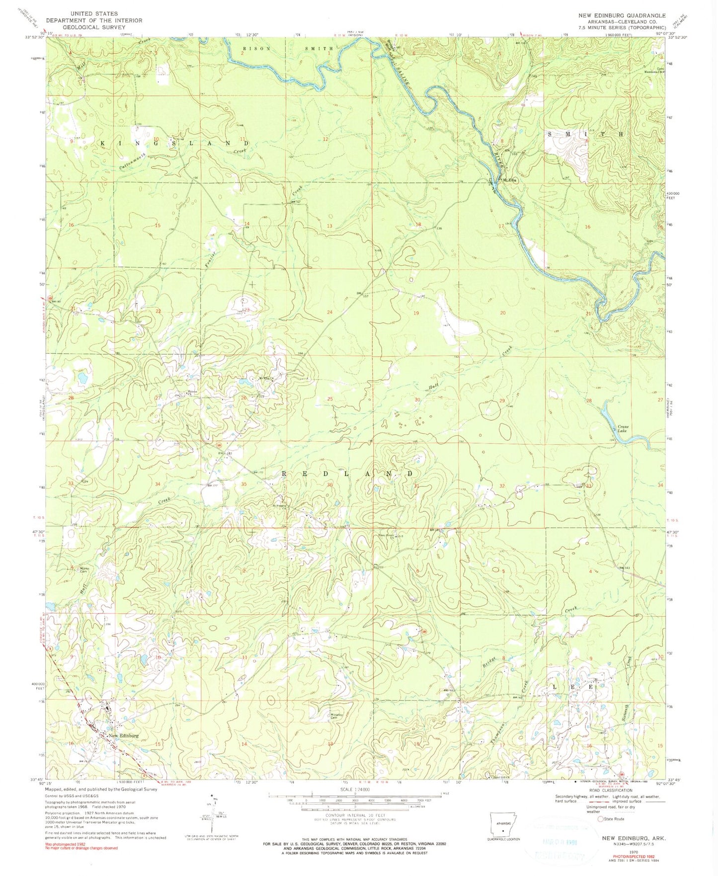
Classic USGS New Edinburg Arkansas 7.5'x7.5' Topo Map
Couldn't load pickup availability
Historical USGS topographic quad map of New Edinburg in the state of Arkansas. Map scale may vary for some years, but is generally around 1:24,000. Print size is approximately 24" x 27"
This quadrangle is in the following counties: Cleveland.
The map contains contour lines, roads, rivers, towns, and lakes. Printed on high-quality waterproof paper with UV fade-resistant inks, and shipped rolled.
Contains the following named places: Bridges Bluff, Chapel Hill Church, Cottonmouth Creek, Crane Lake, Frazier Creek, Hall Creek, Hebron, Hebron Church, Larson Lake Dam, Macedonia Church, Marks Cemetery, Mason, Mill Creek, Moseley Cemetery, Mount Elba, Mount Elba Church, New Edinburg, New Edinburg Census Designated Place, New Edinburg Post Office, New Edinburg Volunteer Fire Station, Piney Grove Church, Saint Francis Church, Sneed, Thompson Creek, Township of Redland, Varnell Creek, ZIP Code: 71660