MyTopo
Classic USGS New Ellenton SE South Carolina 7.5'x7.5' Topo Map
Couldn't load pickup availability
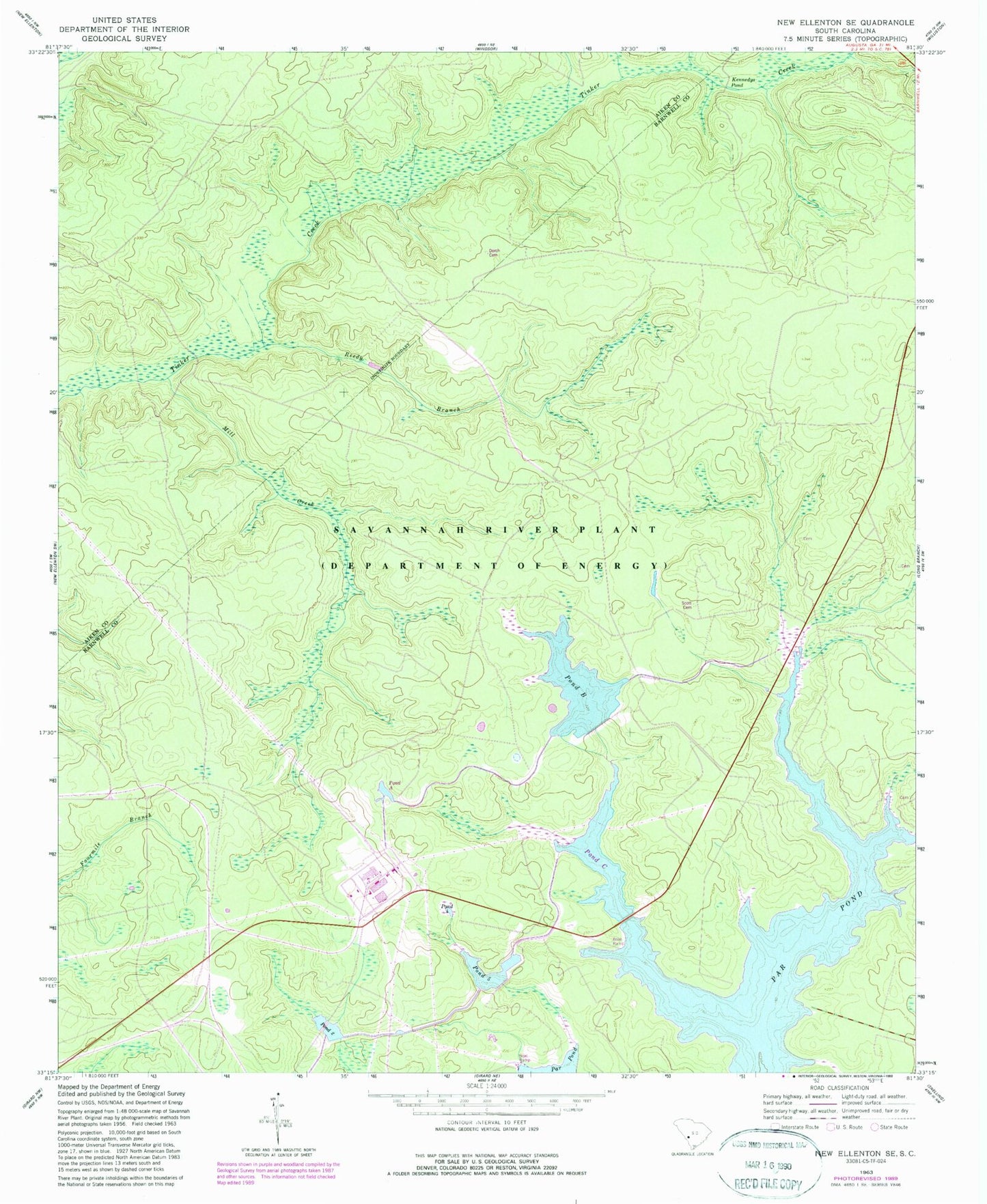
Historical USGS topographic quad map of New Ellenton SE in the state of South Carolina. Map scale may vary for some years, but is generally around 1:24,000. Print size is approximately 24" x 27"
This quadrangle is in the following counties: Aiken, Barnwell.
The map contains contour lines, roads, rivers, towns, and lakes. Printed on high-quality waterproof paper with UV fade-resistant inks, and shipped rolled.
Contains the following named places: Canaan Church, Corleys Mill Pond, Dorch Cemetery, Fair Branch Church, Fair Branch School, Fairmont Church, Green Branch School, Greenland, Greenland School, Gum Pond School, Hailey Branch School, Hawthorne Fire Tower, Joyce Branch, Joyce Branch Church, Kennedys Pond, Mill Creek, Mossy School, Mount Pleasant School, Pleasant Hill Church, Pond B, Pond Five, Pond Four, Pond Two, Pump House Number 6, Reedy Branch, Saint Johns Church, Savannah River Plant Pond B D-3078 Dam, Savannah River Plant Pond Dam Number Five D-3076, Savannah River Plant Pond Dam Number Four D-3075, Savannah River Plant Pond Number Two D-3074 Dam, Scott Cemetery, Thalmans Mill, Zion Grove Church