MyTopo
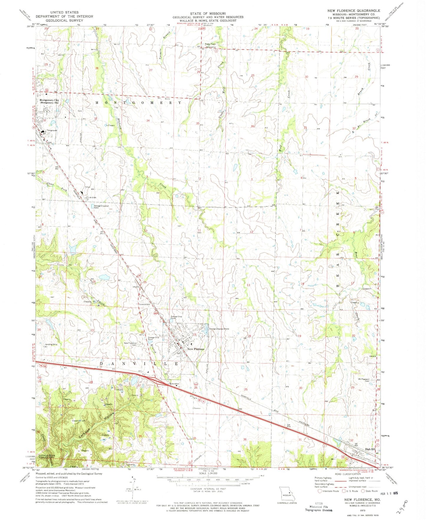
Classic USGS New Florence Missouri 7.5'x7.5' Topo Map
Couldn't load pickup availability
Historical USGS topographic quad map of New Florence in the state of Missouri. Map scale may vary for some years, but is generally around 1:24,000. Print size is approximately 24" x 27"
This quadrangle is in the following counties: Montgomery.
The map contains contour lines, roads, rivers, towns, and lakes. Printed on high-quality waterproof paper with UV fade-resistant inks, and shipped rolled.
Contains the following named places: Bethel Lake Dam, Carl Dreyer Lake, Carl Dreyer Lake Dam, Cates Dam, Cates Lake, City of High Hill, City of New Florence, Contention School, Crab Apple School, Devault School, Easterday East Dam, Fairview School, High Hill, High Hill Post Office, Johnson Lake Dam, Knox School, Laclede School, Montgomery County, Montgomery County High School, Montgomery County Middle School, Mount Pleasant Cemetery, New Florence, New Florence Cemetery, New Florence Fire Protection District, New Florence Police Department, New Florence Post Office, Number 219 Reservoir, Orange Blossom School, Pine Hall School, Roy-L Incorporated Dam, Sunbeam School, Wilkins Airport, ZIP Code: 63363