MyTopo
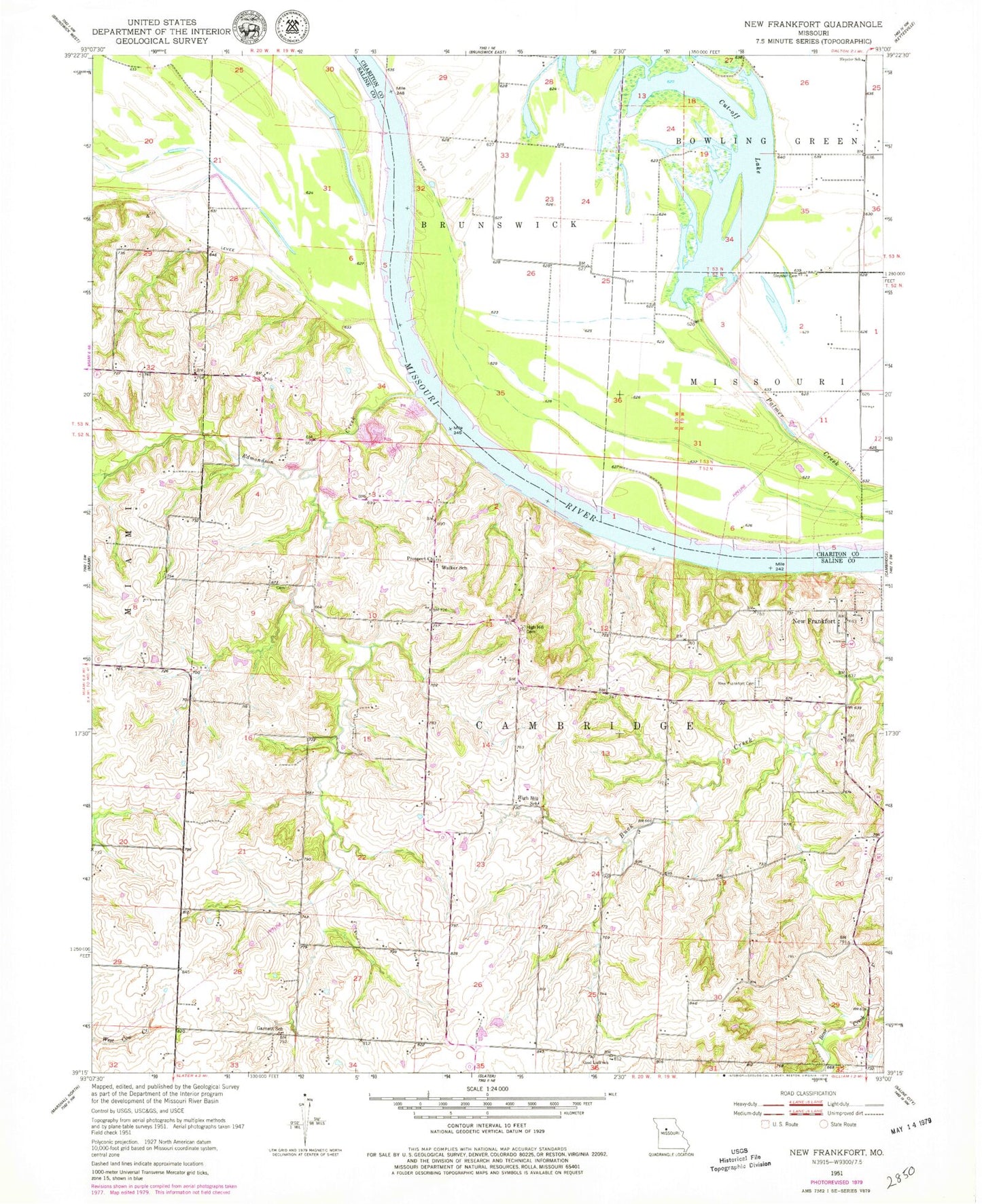
Classic USGS New Frankfort Missouri 7.5'x7.5' Topo Map
Couldn't load pickup availability
Historical USGS topographic quad map of New Frankfort in the state of Missouri. Map scale may vary for some years, but is generally around 1:24,000. Print size is approximately 24" x 27"
This quadrangle is in the following counties: Chariton, Saline.
The map contains contour lines, roads, rivers, towns, and lakes. Printed on high-quality waterproof paper with UV fade-resistant inks, and shipped rolled.
Contains the following named places: Ayres, Barr School, Bell Aire School, Bushwhacker Bend, Centennial School, Cut-Off Lake, Davis School, Edmondson Creek, Garnett School, Good Luck School, Grand River Bend, Graves Creek, High Hill Cemetery, High Hill School, Levee Unit Number L-246, New Frankfort, New Frankfort Cemetery, Prospect Church, Sleyster Cemetery, Sleyster School, Township of Cambridge, Walker School