MyTopo
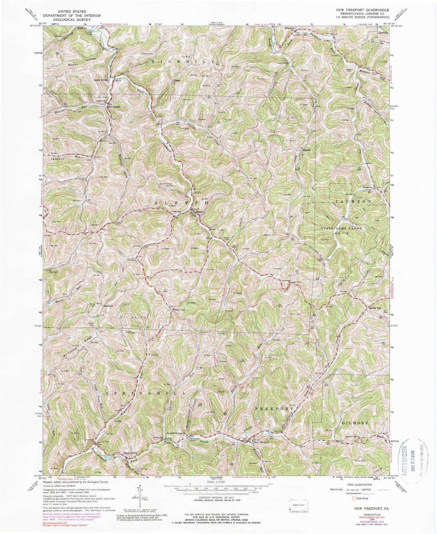
Classic USGS New Freeport Pennsylvania 7.5'x7.5' Topo Map
Couldn't load pickup availability
Historical USGS topographic quad map of New Freeport in the state of Pennsylvania. Map scale may vary for some years, but is generally around 1:24,000. Print size is approximately 24" x 27"
This quadrangle is in the following counties: Greene.
The map contains contour lines, roads, rivers, towns, and lakes. Printed on high-quality waterproof paper with UV fade-resistant inks, and shipped rolled.
Contains the following named places: Aleppo, Aleppo Post Office, Barneys Run, Bissett Run, Blacks Creek, Bristoria, Centennial Cemetery, Centennial Church, Chambers Run, Chess Cemetery, Cook Run, Deep Valley, Delphene, Dunkard Cemetery, Evans Cemetery, Falling Timber Run, Hamilton Run, Herod Run, Hewitt Run, Higbee, Highbee Post Office, Job Creek, Kuhn Cemetery, Laurel Run, Laurel Run Church, Long Run, Long Run Church, McCracken, McVay Cemetery, Miller Cemetery, Monkey Hollow, Morford, Mount Carmel Ridge, Mudlick Fork, Nettle Hill, New Freeport, New Freeport Cemetery, New Freeport Census Designated Place, New Freeport Post Office, New Freeport Volunteer Fire Department Company 71, Pleasant Hill Church, Pleasant Hill Methodist Church Cemetery, Riggs, Smith Bridge, Springhill-Freeport School, Staggers Cemetery, State Game Lands Number 179, Strawn Cemetery, Strawn Hollow, Sugar Grove Cemetery, Sugar Grove Church, Tedrow Cemetery, Township of Aleppo, Township of Springhill, Wagonroad Run, Webster Run, Whitethorn Run, Windy Gap, Windy Gap Cemetery, ZIP Codes: 15310, 15352, 15380


