MyTopo
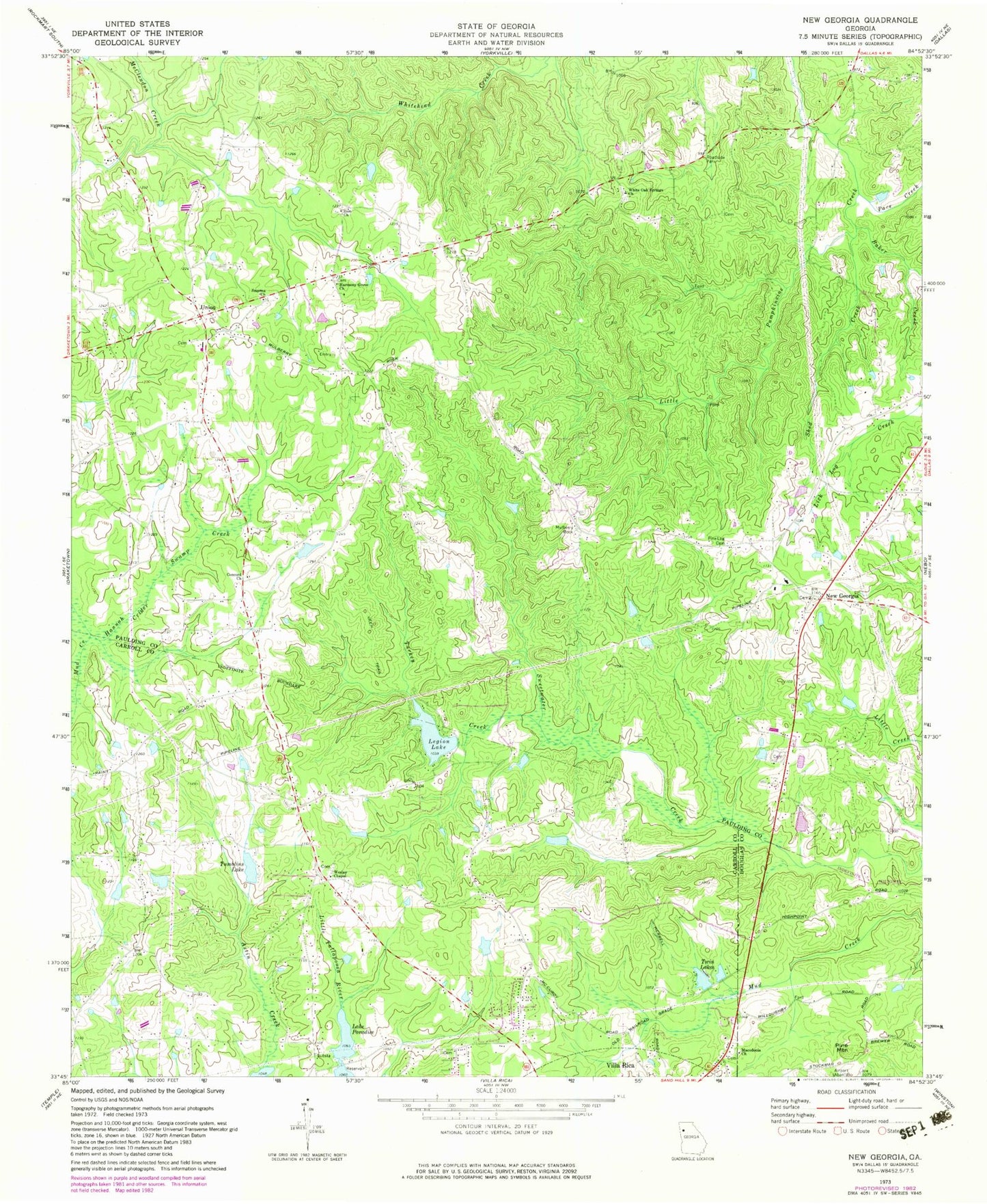
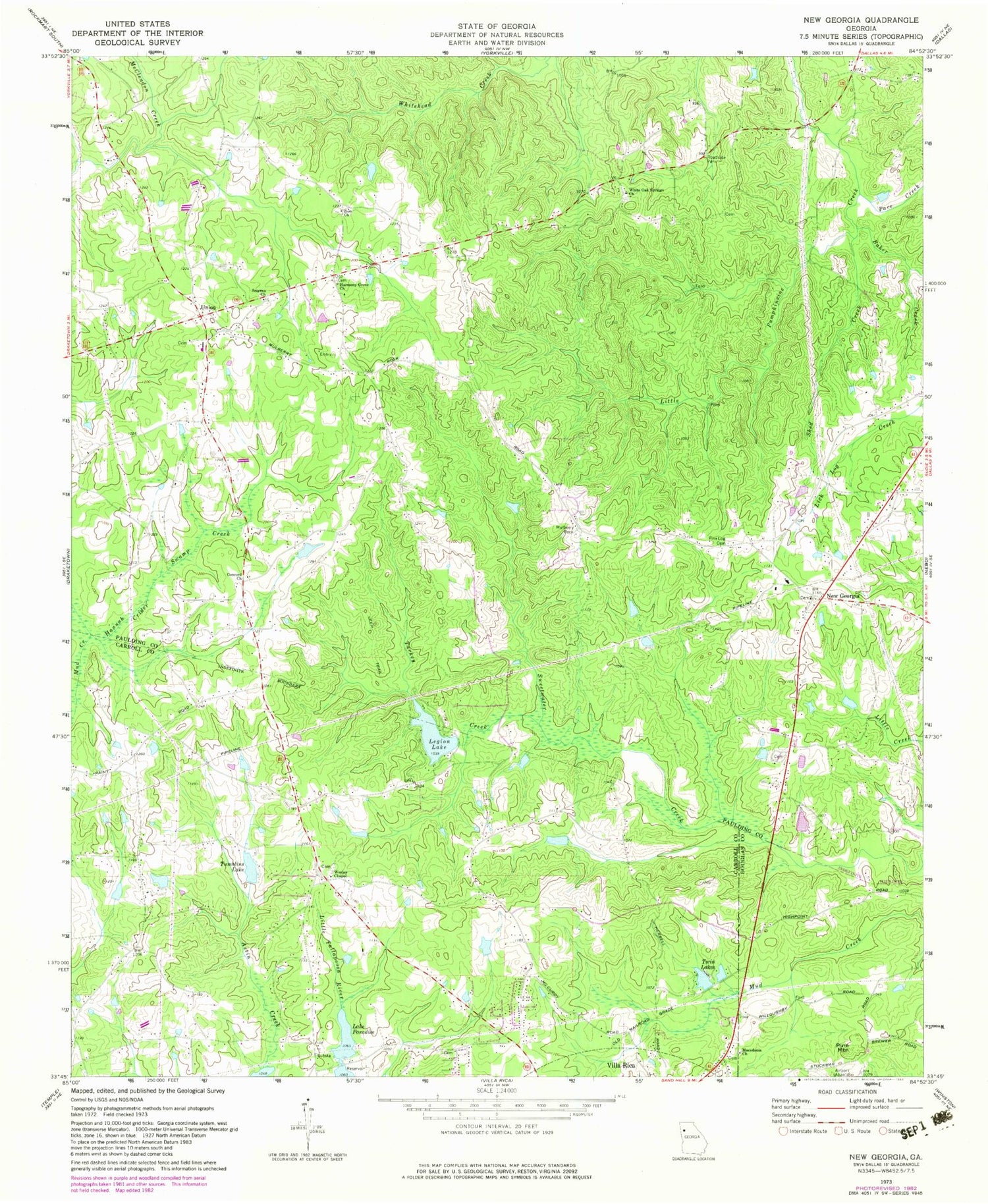
Classic USGS New Georgia Georgia 7.5'x7.5' Topo Map
Couldn't load pickup availability
Historical USGS topographic quad map of New Georgia in the state of Georgia. Map scale may vary for some years, but is generally around 1:24,000. Print size is approximately 24" x 27"
This quadrangle is in the following counties: Carroll, Douglas, Paulding.
The map contains contour lines, roads, rivers, towns, and lakes. Printed on high-quality waterproof paper with UV fade-resistant inks, and shipped rolled.
Contains the following named places: Baker Creek, Brown Lake, Brown Lake Dam, Bud, Carl Scoggins Sr Middle School, Carroll County Fire / Rescue Station 16, Charity Church, Clopton Mine, Concord Cemetery, Concord Church, Cottonwood Valley, Crider Creek, Cross Roads Church, Crossroads Christian Academy, Earl L Small Jr Field/Stockmar Airport, Fairview Church, Fermander Lake, Fermander Lake Dam, H L Tumlin Dam, Hannah Swamp, Harmony Grove Cemetery, Harmony Grove Church, Joe Wilson Dam, Lake Paradise, Lake Paradise Dam, Leadbetter Church, Legion Lake, Legion Lake Dam, Little Ten Dam, Little Ten Lake, Macedonia Church, Melrose Cemetery, Mulberry Place, Mulberry Rock, New Brooklyn Cemetery, New Georgia, New Georgia Elementary School, New Georgia Estates, Pace Creek, Paulding County Fire and Rescue Bureau Station 4, Paulding Quarry, Pine Log Cemetery, Pine Log Church, Pine Mountain, Pine Mountain Mine, Roadside Park, Rock Ford Church, Rolling View Estates, Rollins, Shed Creek, Smyrna Cemetery, Smyrna Church, Southern Klondyke Mine, Tumblins Lake, Tumblins Lake Dam, Turkey Creek, Twin Lakes, Twin Lakes A, Twin Lakes Dam A, Twohundred and Twelve Prospect, Union, Union Cemetery, Union Church, Union Elementary School, Victory Christian Academy, Victory Church, Villa Rica Middle School, Villa Rica Mine, Wesley Cemetery, Wesley Chapel, White Oak Springs Cemetery, White Oak Springs Church, Willow Creek, Zion Cemetery, Zion Church


