MyTopo
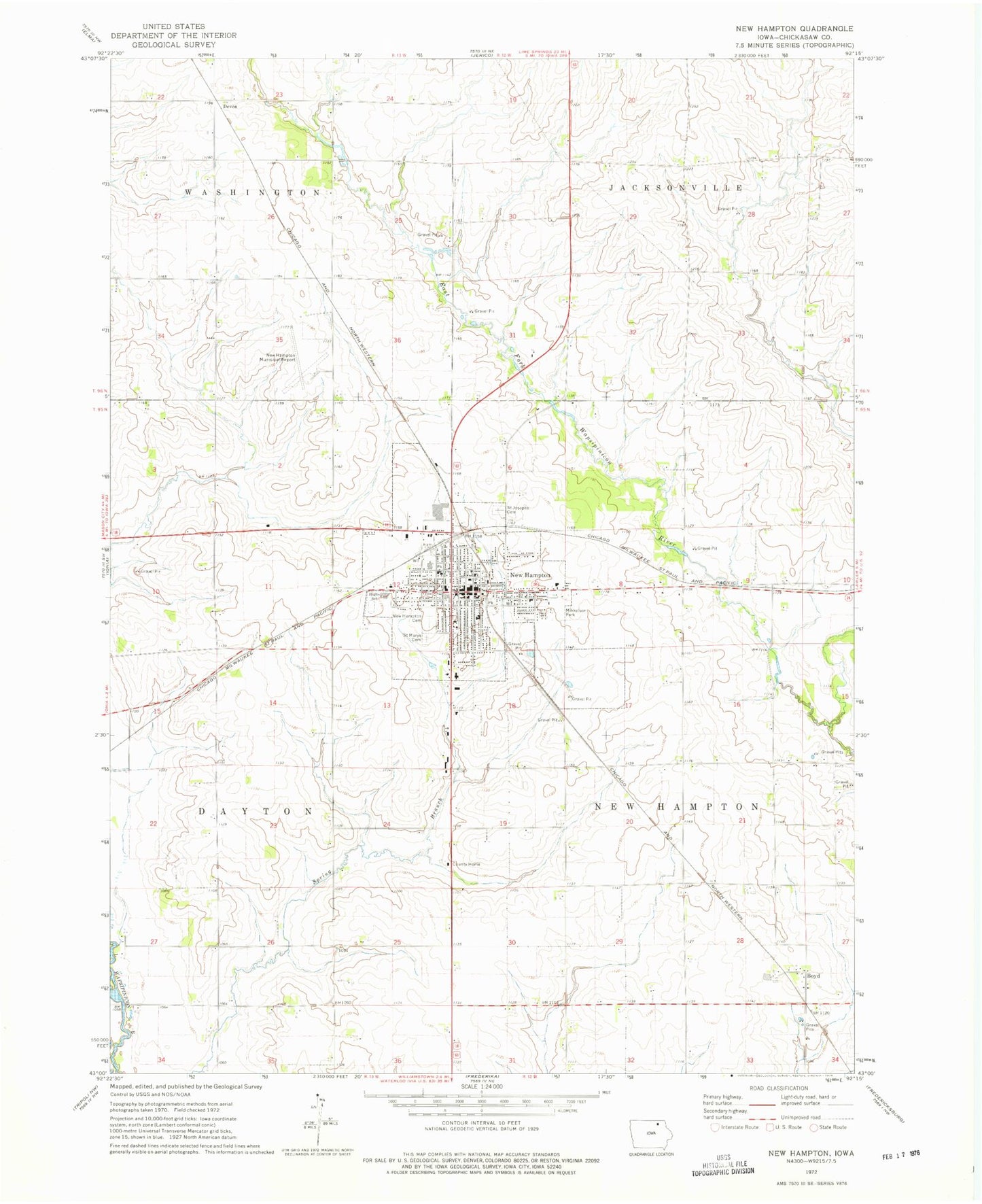
Classic USGS New Hampton Iowa 7.5'x7.5' Topo Map
Couldn't load pickup availability
Historical USGS topographic quad map of New Hampton in the state of Iowa. Map scale may vary for some years, but is generally around 1:24,000. Print size is approximately 24" x 27"
This quadrangle is in the following counties: Chickasaw.
The map contains contour lines, roads, rivers, towns, and lakes. Printed on high-quality waterproof paper with UV fade-resistant inks, and shipped rolled.
Contains the following named places: Airport Lake Park, Beaver City Post Office, Boyd, Boyd Post Office, Carnegie Culture Center, Chickasaw Ambulance Service New Hampton, Chickasaw County, Chickasaw County Courthouse, Chickasaw County Home, Chickasaw County Sheriff's Office, Children of Israel Cemetery, City of New Hampton, Dental Associates Center, Devon, Devon Post Office, Devon Woods, Eggleston Farm Cemetery, Eye Care Associates Center, First Baptist Church, Garnant Park, Heritage Residence, Immaculate Conception Church, Jehovahs Witnessess Kingdom Hall, KCZE-FM (New Hampton), Mercy Medical Center New Hampton, Mikkelson Park, Mitchell Field, New Hampton, New Hampton Care Center, New Hampton Cemetery, New Hampton Chiropractic Center, New Hampton Clinic, New Hampton Community Center, New Hampton Elementary School, New Hampton Fire Department, New Hampton High School, New Hampton Middle School, New Hampton Municipal Airport, New Hampton Nursing and Rehabilitation Center, New Hampton Police Department, New Hampton Post Office, New Hampton Public Library, Plum Creek, Randall Park, Redeemer Lutheran Church, Runion Park, Saint John School of Religion, Saint Joseph Community Hospital, Saint Joseph Community School, Saint Josephs Cemetery, Saint Josephs Roman Catholic Church, Saint Marys Cemetery, Schroeder Herman and Hilda Preserve, Sheakley Park, Stoltz Park, Township of New Hampton, Trinity Lutheran Church, United Methodist Church, ZIP Code: 50659


