MyTopo
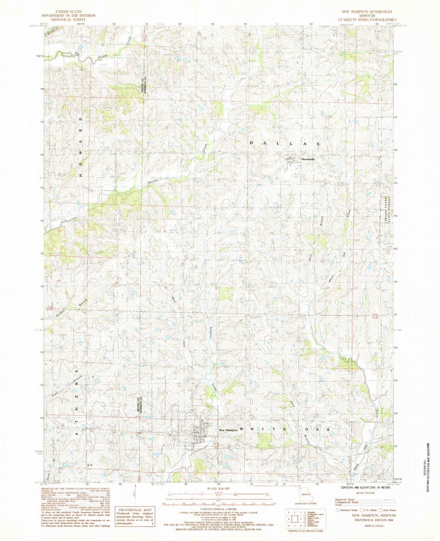
Classic USGS New Hampton Missouri 7.5'x7.5' Topo Map
Couldn't load pickup availability
Historical USGS topographic quad map of New Hampton in the state of Missouri. Map scale may vary for some years, but is generally around 1:24,000. Print size is approximately 24" x 27"
This quadrangle is in the following counties: Gentry, Harrison.
The map contains contour lines, roads, rivers, towns, and lakes. Printed on high-quality waterproof paper with UV fade-resistant inks, and shipped rolled.
Contains the following named places: Adam School, Ames Branch, Burton School, City of New Hampton, Glendenning School, Grace Cemetery, KAAN-AM (Bethany), KAAN-FM (Bethany), Kidwell Cemetery, Locust Grove School, Lone Star Cemetery, Magee Cemetery, Martinsville, Martinsville Post Office, Mount Zion Church, New Hampton, New Hampton Post Office, New Hampton Volunteer Fire Protection District, Pony Branch, Township of Dallas, Township of White Oak, Walnut Grove School, West Fork Sampson Creek, Willow Row Church, ZIP Code: 64471