MyTopo
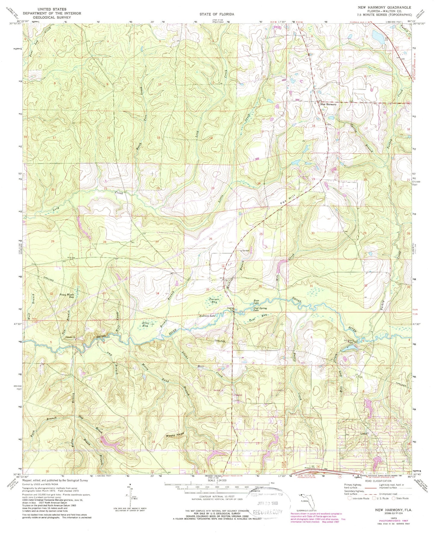
Classic USGS New Harmony Florida 7.5'x7.5' Topo Map
Couldn't load pickup availability
Historical USGS topographic quad map of New Harmony in the state of Florida. Map scale may vary for some years, but is generally around 1:24,000. Print size is approximately 24" x 27"
This quadrangle is in the following counties: Walton.
The map contains contour lines, roads, rivers, towns, and lakes. Printed on high-quality waterproof paper with UV fade-resistant inks, and shipped rolled.
Contains the following named places: Adams Mill Creek, Andrews Lake, Battle Creek, Beech Tree Creek, Boggy Branch, Bottle Branch, Breezy Knoll Airport, Brown Branch, Buck Branch, Camp Branch, Coal Spring Lake, Crowder Cemetery, Crowder Church, Dios Bay, Fox Hill, Little Creek, Machine Branch, Mill Creek, Mill Dam Creek, Mossy Head, Mossy Head Branch, New Harmony, Piney Woods Bay, Russ Lake, Spring Branch, Stag Branch, Tan Branch, Teal Bay, Turkey Creek, Turner Bay, Unicorn Place Airport, Walton County Fire Rescue Station 11 - Mossy Head EMS Station, Wolf Branch, Wolf Creek


