MyTopo
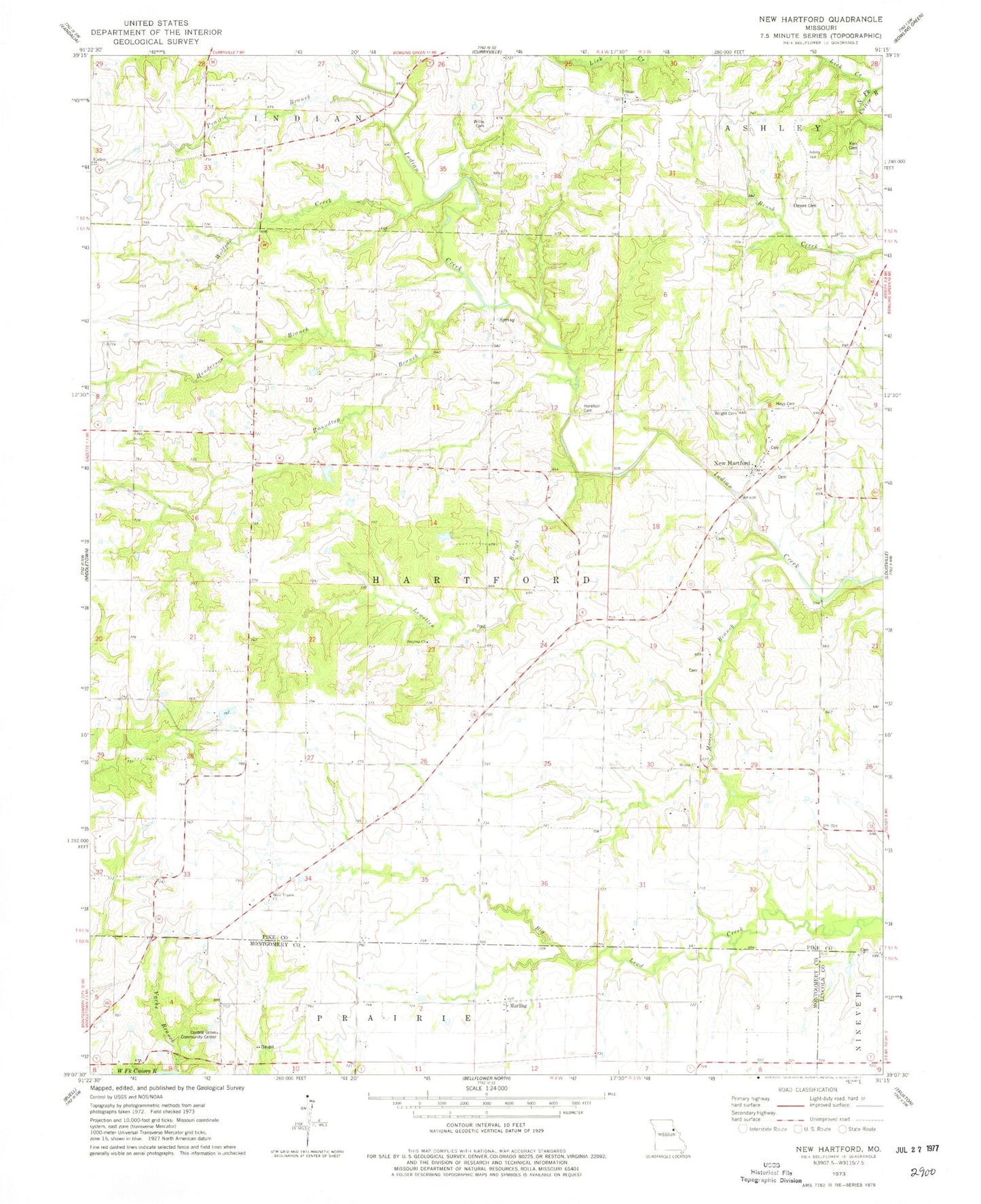
Classic USGS New Hartford Missouri 7.5'x7.5' Topo Map
Couldn't load pickup availability
Historical USGS topographic quad map of New Hartford in the state of Missouri. Map scale may vary for some years, but is generally around 1:24,000. Print size is approximately 24" x 27"
This quadrangle is in the following counties: Lincoln, Montgomery, Pike.
The map contains contour lines, roads, rivers, towns, and lakes. Printed on high-quality waterproof paper with UV fade-resistant inks, and shipped rolled.
Contains the following named places: Bachman Lake, Bachman Lake Dam, Central Grove Community Center, Central Grove School, Charles Moore Dam, Dunn School, Elmore Cemetery, Harelson Cemetery, Hays Cemetery, Henderson Branch, Hopke Church, Hopke School, Kerr Cemetery, Lewellen Branch, Lick Creek, Marling, Moore Branch, Moore Lake, New Hartford, Prairie Branch, Roundtop Branch, Siloam Church, Smyrna Church, Township of Hartford, Union School, Vache Branch, West Prairie Church, Willis Cemetery, Wolfpen Creek, Wright Cemetery, ZIP Code: 63359