MyTopo
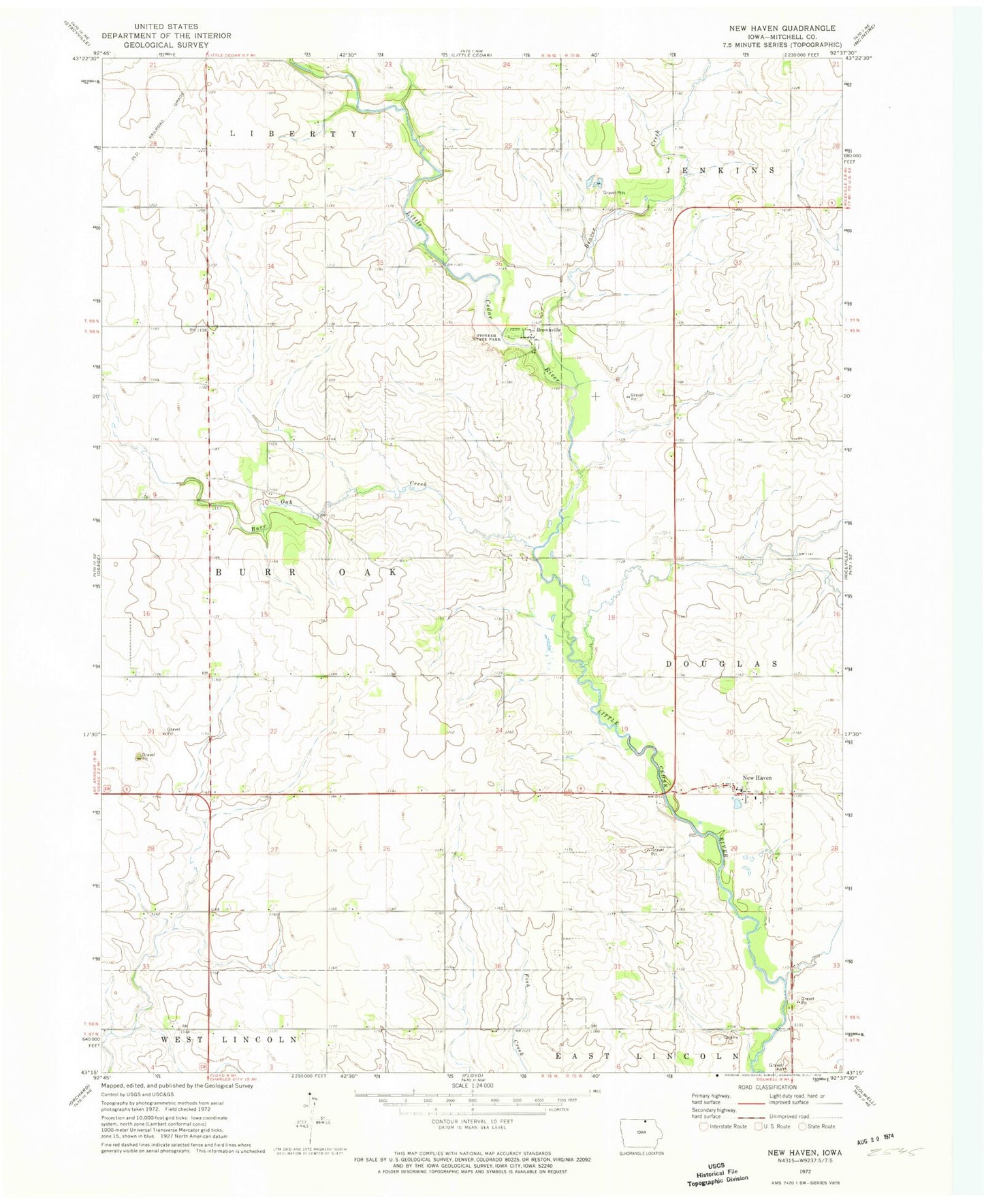
Classic USGS New Haven Iowa 7.5'x7.5' Topo Map
Couldn't load pickup availability
Historical USGS topographic quad map of New Haven in the state of Iowa. Map scale may vary for some years, but is generally around 1:24,000. Print size is approximately 24" x 27"
This quadrangle is in the following counties: Mitchell.
The map contains contour lines, roads, rivers, towns, and lakes. Printed on high-quality waterproof paper with UV fade-resistant inks, and shipped rolled.
Contains the following named places: Beaver Creek, Brownville, Brownville Cemetery, Brownville Post Office, Brownville Wildlife Area, Burr Oak Creek, Cardiff Post Office, Lincoln Centre Post Office, Melrose Pond Access, New Haven, New Haven Census Designated Place, New Haven Post Office, New Haven Potholes, North Haven Wildlife Area, Pioneer State Park, Saint Peters Cemetery, Saint Peters Church, Township of Burr Oak