MyTopo
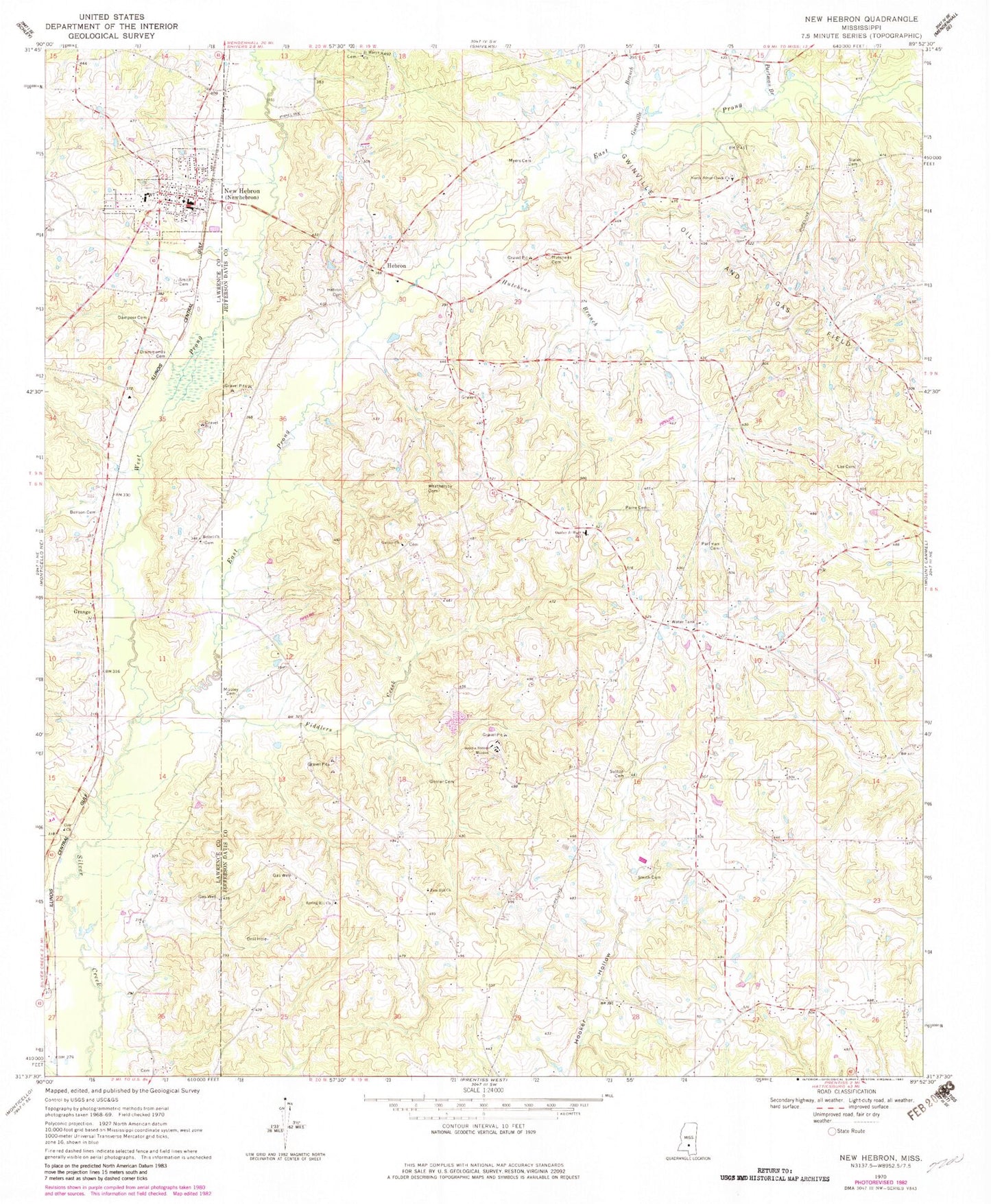
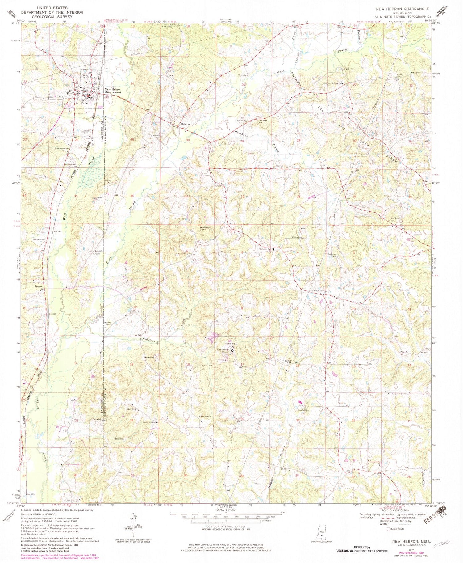
Classic USGS New Hebron Mississippi 7.5'x7.5' Topo Map
Couldn't load pickup availability
Historical USGS topographic quad map of New Hebron in the state of Mississippi. Map scale may vary for some years, but is generally around 1:24,000. Print size is approximately 24" x 27"
This quadrangle is in the following counties: Jefferson Davis, Lawrence.
The map contains contour lines, roads, rivers, towns, and lakes. Printed on high-quality waterproof paper with UV fade-resistant inks, and shipped rolled.
Contains the following named places: Armstrong Cemetery, Benson Cemetery, Bethel Church, Cole Church, Dampeer Cemetery, Droummonds Cemetery, Dry Hollow School, East Prong Silver Creek, Fiddlers Creek, Galilee Cemetery, Galilee Church, Galilee School, Gholar Cemetery, Grange, Gwinville Branch, Hartzog Cemetery, Hebron, Hebron Cemetery, Hebron Church, Hookers Store, Hutchens Branch, Hutchens Cemetery, Lee Cemetery, Magee Cemetery, Mobley Cemetery, Myers Cemetery, New Hebron, New Hebron Police Department, New Hebron Post Office, New Hebron School, New Hebron Volunteer Fire / Rescue Department, North Silver Creek Cemetery, North Silver Creek Church, Oakley Junior High School, Old Mobley Cemetery, Paine Cemetery, Partman Branch, Partman Cemetery, R G Bilbo Lake Dam, Ross Cemetery, Saint Marys Church, Sills Cemetery, Silver Creek School, Smith Cemetery, Sophia Sutton Mission, Spring Hill Cemetery, Spring Hill Church, Stater Cemetery, Supervisor District 5, Sutton Cemetery, Town of New Hebron, Walder Spring School, Weathersby Cemetery, West Prong Silver Creek, Whiting School, Wolfe Cemetery, Yellowleaf School, Zion Hill Cemetery, Zion Hill Church


