MyTopo
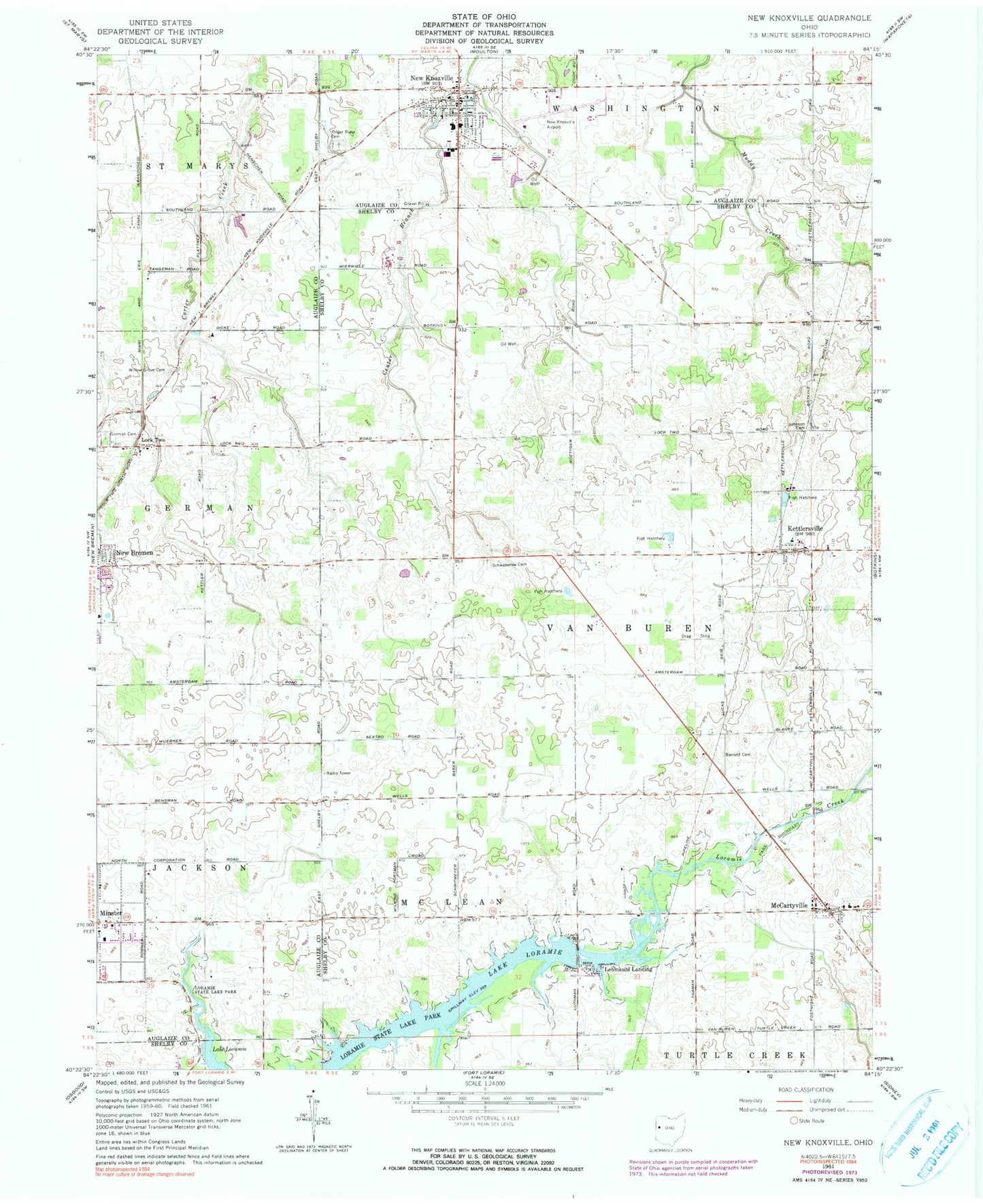
Classic USGS New Knoxville Ohio 7.5'x7.5' Topo Map
Couldn't load pickup availability
Historical USGS topographic quad map of New Knoxville in the state of Ohio. Map scale may vary for some years, but is generally around 1:24,000. Print size is approximately 24" x 27"
This quadrangle is in the following counties: Auglaize, Shelby.
The map contains contour lines, roads, rivers, towns, and lakes. Printed on high-quality waterproof paper with UV fade-resistant inks, and shipped rolled.
Contains the following named places: Barnett Cemetery, Berghorn School, Berning Family Farms, Calvary Chapel Independent Baptist Church, Canal View Farm, Diters School, First United Church of Christ, Fledderjohn School, German Cemetery, Heitman Field, Hoelscher School, Holy Redeemer Catholic Church, Johnson Cemetery, Kettlersville, Kettlersville - Van Buren Township Volunteer Fire Department, Kettlersville Elementary School, Kettlersville Post Office, Lehmkuhl Landing, Lock Two, McCarthyville Elementary School, McCartyville, McCartyville Post Office, Minster - Jackson Township Fire Department, Minster Area Life Squad, Neil Armstrong Airport, New Bremen High School, New Knoxville, New Knoxville - Washington Township Fire Department, New Knoxville Community Library, New Knoxville Community Park, New Knoxville Elementary School, New Knoxville Heritage Center, New Knoxville High School, New Knoxville Police Department, New Knoxville Post Office, New Knoxville United Methodist Church, Paris Street Park, Pilger Ruhe Cemetery, Protestant Evangelical Cemetery, Roediger Farms, Sacred Heart Cemetery, School Number 2, Schwaberow Cemetery, Schwaberow School, Township of Van Buren, Village of Kettlersville, Village of New Knoxville, Washington Township House, West Lake Village, Willow Grove Cemetery, Willow Grove Church, ZIP Codes: 45336, 45865, 45871


