MyTopo
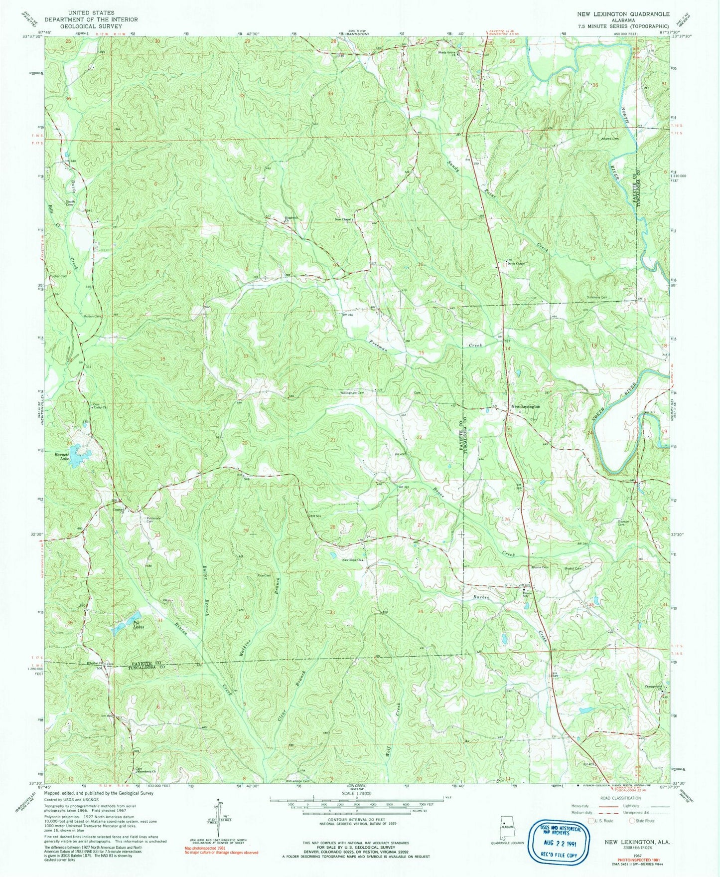
Classic USGS New Lexington Alabama 7.5'x7.5' Topo Map
Couldn't load pickup availability
Historical USGS topographic quad map of New Lexington in the state of Alabama. Map scale may vary for some years, but is generally around 1:24,000. Print size is approximately 24" x 27"
This quadrangle is in the following counties: Fayette, Tuscaloosa.
The map contains contour lines, roads, rivers, towns, and lakes. Printed on high-quality waterproof paper with UV fade-resistant inks, and shipped rolled.
Contains the following named places: Adams Cemetery, Barnett Lake, Barnett Lake Dam, Belle Creek, Bolter Branch, Boone Cemetery, Bryant Cemetery, Camp Ground Cemetery, Campground Church, Center Point School, Clear Branch, Concord, Concord Baptist Church, Concord Cemetery, Concord School, Davis Chapel, Davis Creek Post Office, Dawson Cemetery, El Bethel Cemetery, El Bethel United Methodist Church, Etteca School, Freeman Creek, Freewill Church, Hocutts Mill, Hopewell Cemetery, Hopewell Church, Lexington Gas Field, Macedonia Baptist Church, Macedonia Cemetery, Melton Cemetery, New Chapel, New Chapel Cemetery, New Chapel School, New Hope, New Hope Church, New Lexington, Obye School, Patterson Cemetery, Poe Lakes, Reed Springs School, Reuben, Reuben Post Office, Rice Cemetery, Richards Mill, Rock Creek, Salem Baptist Church, Salem Cemetery, Sandy Point Creek, Shady Grove Baptist Church, Shady Grove Cemetery, Simmons Cemetery, South Cemetery, Tucker Cemetery, Unity Church, Unity Grove Cemetery, Vick and Kelley Cemetery, Watkins Branch, Williamson Jones Cemetery, Willingham Cemetery


