MyTopo
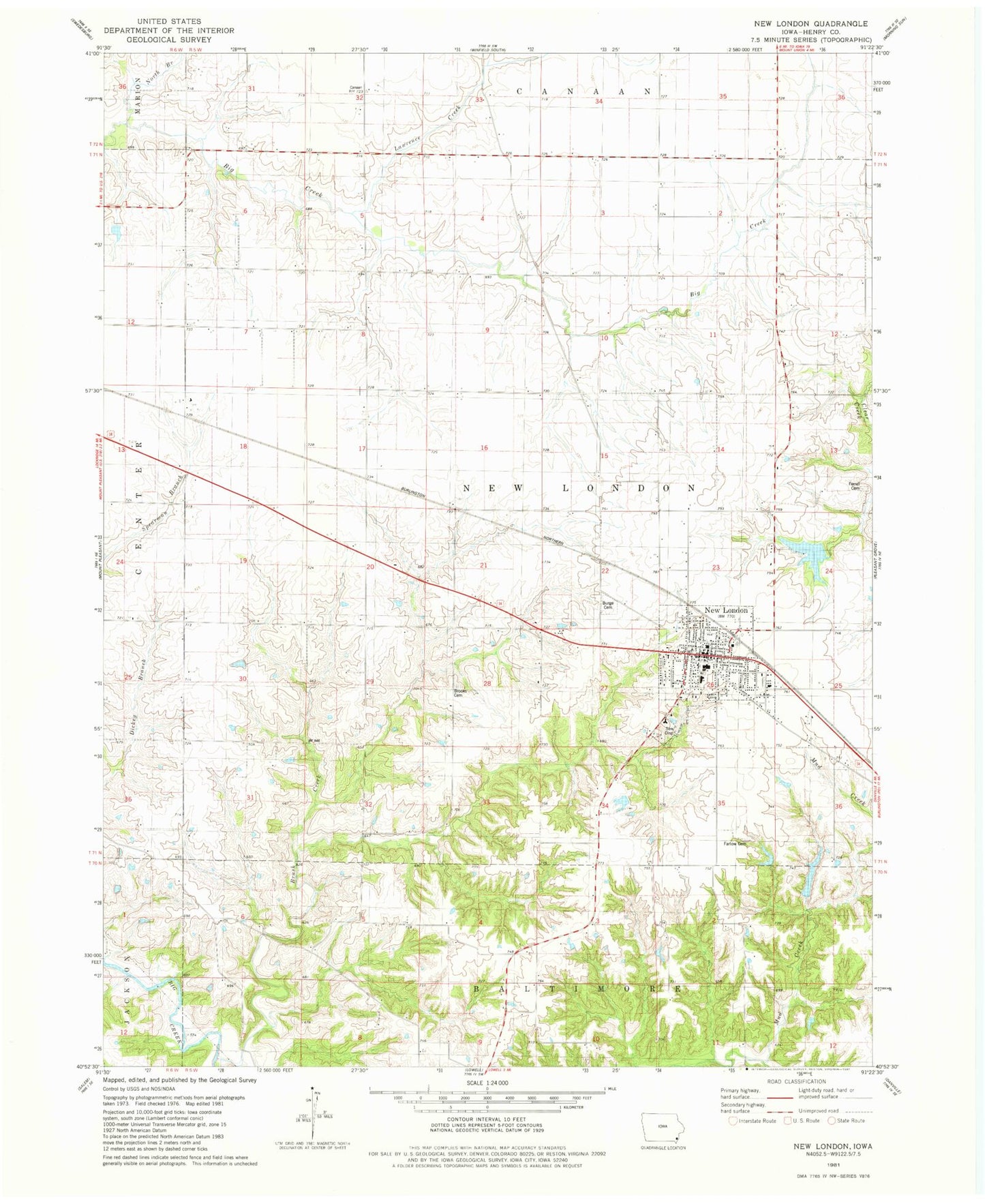
Classic USGS New London Iowa 7.5'x7.5' Topo Map
Couldn't load pickup availability
Historical USGS topographic quad map of New London in the state of Iowa. Map scale may vary for some years, but is generally around 1:24,000. Print size is approximately 24" x 27"
This quadrangle is in the following counties: Henry.
The map contains contour lines, roads, rivers, towns, and lakes. Printed on high-quality waterproof paper with UV fade-resistant inks, and shipped rolled.
Contains the following named places: Beery Cemetery, Brooks Cemetery, Brush Creek, Burge Cemetery, Central Park, City of New London, Clark Elementary School, Deerwood Golf Club, Dover Historical Museum, Ebeneezer Cemetery, Farlow Cemetery, Ferrel Cemetery, Lawrence Creek, N J Nugen Public Library, New London, New London Christian Church, New London City Fire Station, New London City Police Department, New London Country Club, New London Farmers Co-op Elevator, New London Junior - Senior High School, New London Nursing and Rehabilitation Center, New London Post Office, New Londons First Store and Select School Historical Marker, North Branch Big Creek, Orr-Port Airport, Presbyterian Church, Shinar Cumberland Presbyterian Church, Township of New London, United Methodist Church, ZIP Code: 52645