MyTopo
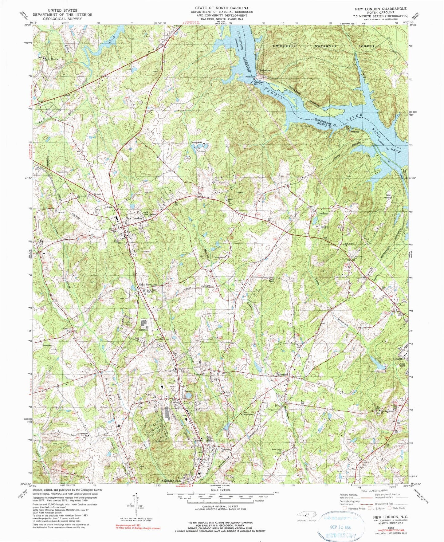
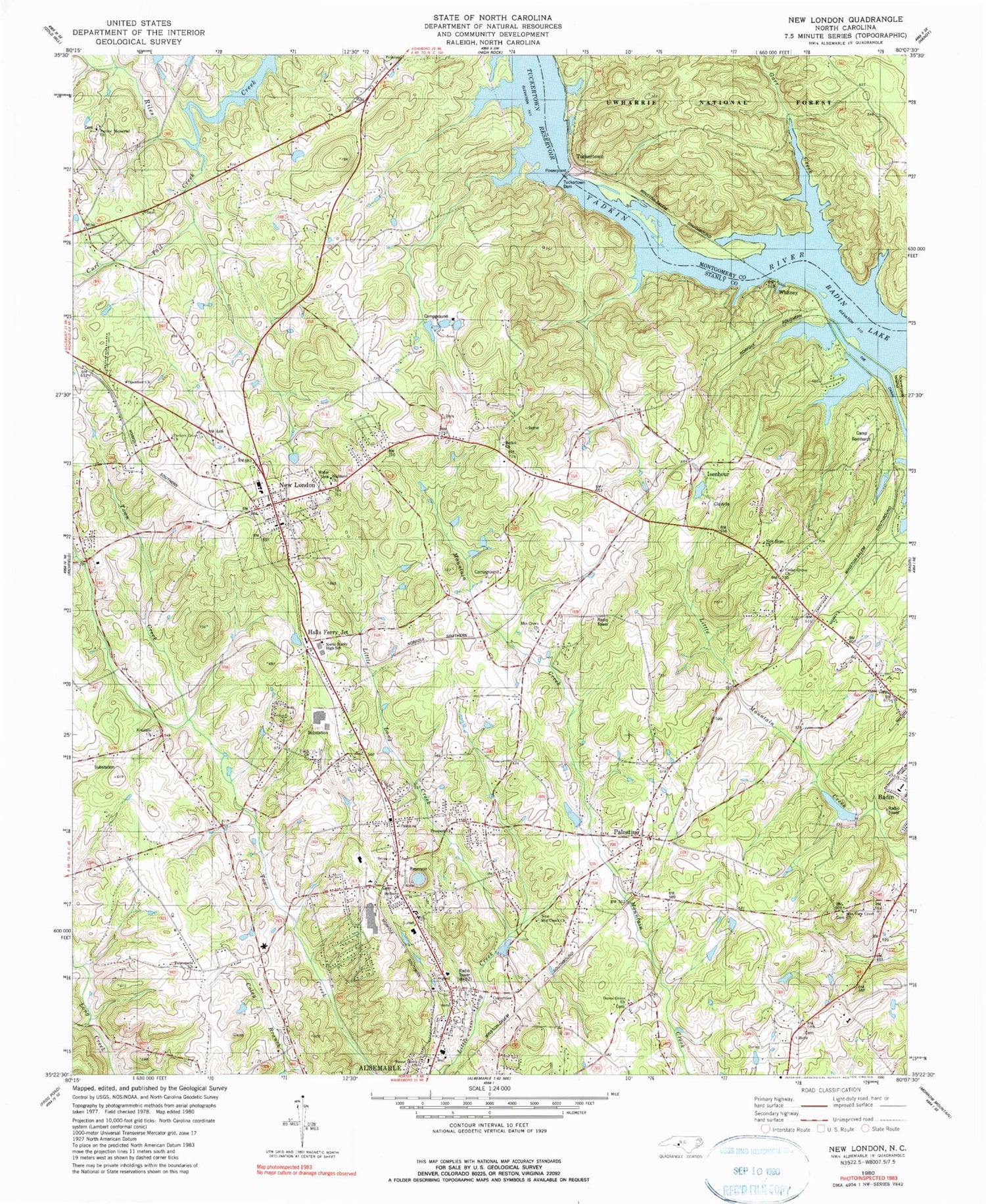
Classic USGS New London North Carolina 7.5'x7.5' Topo Map
Couldn't load pickup availability
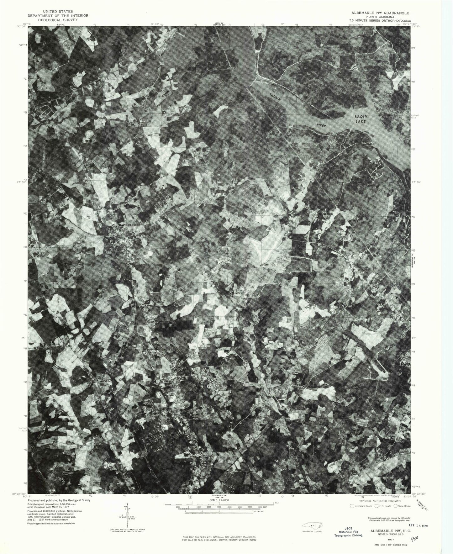
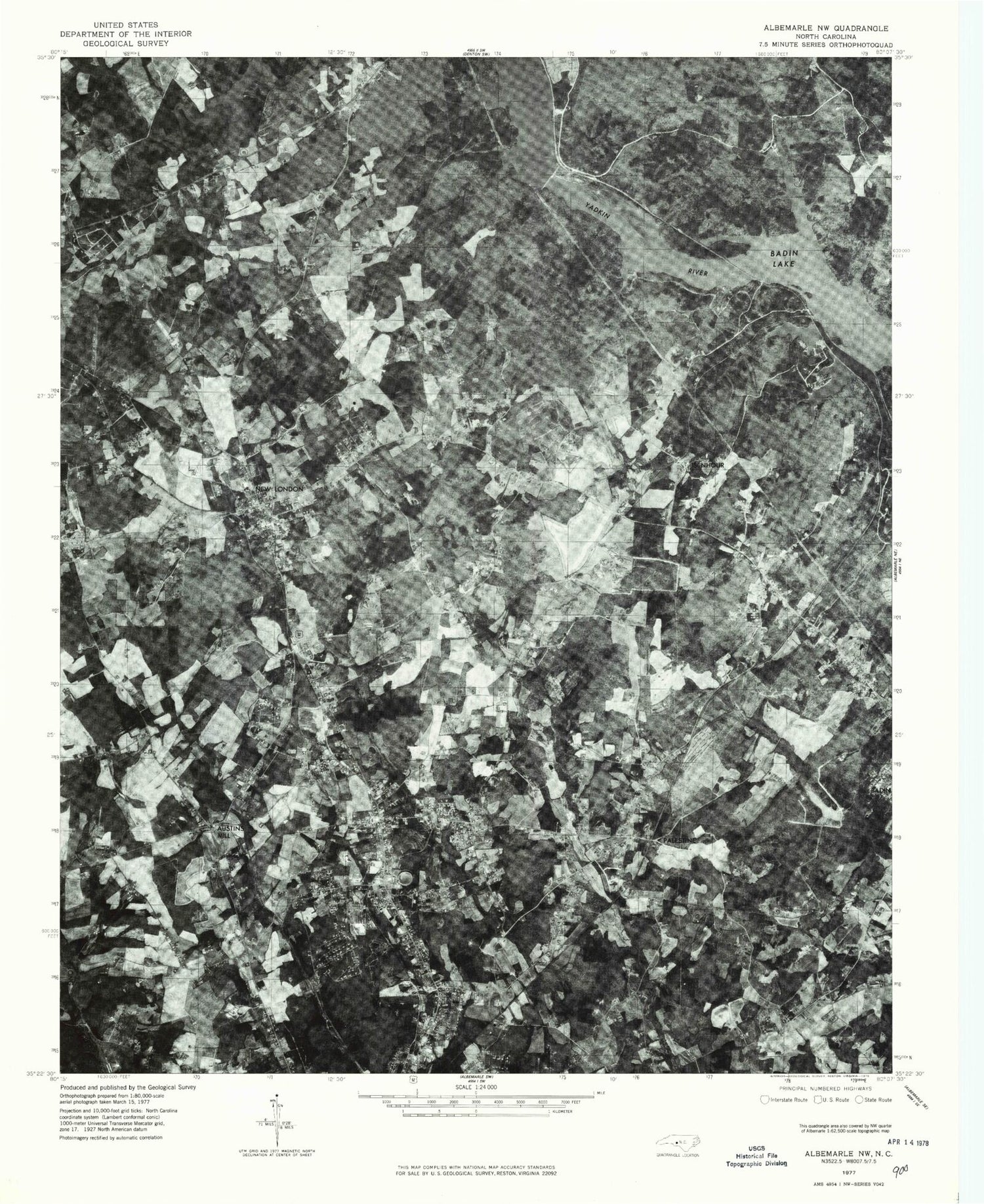
Historical USGS topographic quad map of New London in the state of North Carolina. Typical map scale is 1:24,000, but may vary for certain years, if available. Print size: 24" x 27"
This quadrangle is in the following counties: Montgomery, Stanly.
The map contains contour lines, roads, rivers, towns, and lakes. Printed on high-quality waterproof paper with UV fade-resistant inks, and shipped rolled.
Contains the following named places: Bethany Church, Bethel Church, Browns Chapel, Camp Barnhard, Cedar Grove Church, Centerview Church, Dunns Grove Church, Garr Creek, Highland Church, Mountain Creek Church, New Hope Church, New London, New Mountain Creek Church, North Stanly High School, Parkers Memorial Church, Prospect Church, Sweet Home Church, Tabernacle Church, The Canal, Stanly County Airport, Reservoir Lake, Reservoir Lake Dam, Dafor Dam, Dafor Lake, Austin Mills, Great Falls, New London School, Loftin Farms, Forest Drive, Centurion Park, Holbrook, Meadowbrook Estates, Ashley Heights, Clover Fork Acres, Greenwood Park, Cedar Knolls, Woodcrest, Bethney Heights, Halls Ferry Junction, Isenhour, Palestine, Tuckertown, Whitney, Curl Tail Creek, Mountain View Creek Church, Tuckertown Dam, Kendalls Church, Parkers Grove Church, Opendoor Church, Faith Church, Township of Harris, WABZ Radio Tower (Biloxi), Tuckertown School (historical), Stanly County Home (historical), Town of New London, Badin Lake Volunteer First Response and Rescue - Uwharrie Pointe, Albemarle Fire Department Station 3, New London Volunteer Fire Department, Bethany Community Fire Department, Stanly County Emergency Medical Services Base 4, Stanly County Emergency Medical Services Base 1, Albemarle Correctional Institution, Albermarle Police North Community Office, New London Post Office


