MyTopo
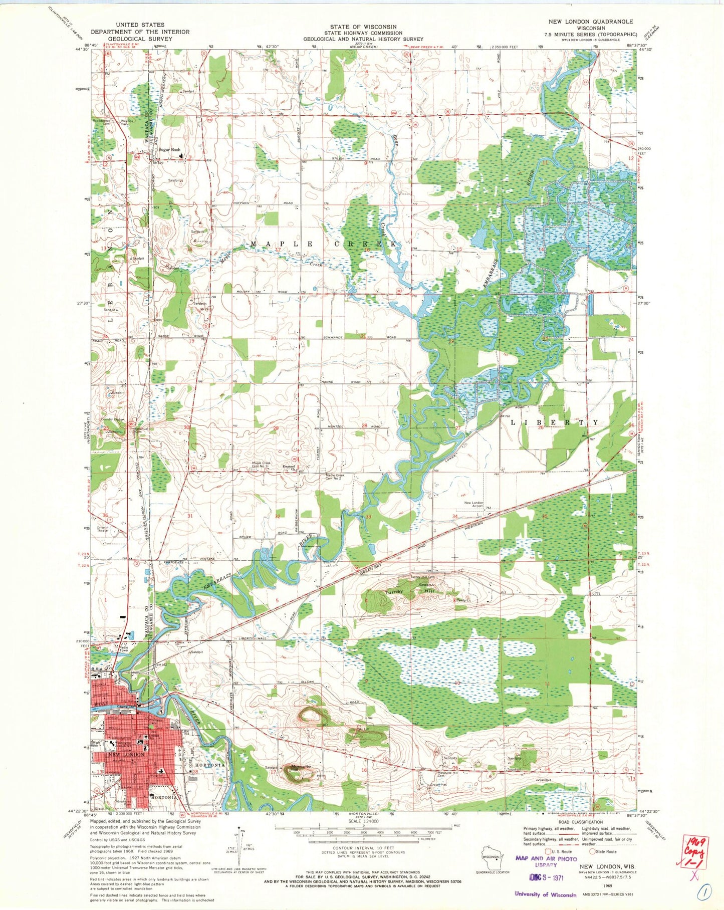
Classic USGS New London Wisconsin 7.5'x7.5' Topo Map
Couldn't load pickup availability
Historical USGS topographic quad map of New London in the state of Wisconsin. Map scale may vary for some years, but is generally around 1:24,000. Print size is approximately 24" x 27"
This quadrangle is in the following counties: Outagamie, Waupaca.
The map contains contour lines, roads, rivers, towns, and lakes. Printed on high-quality waterproof paper with UV fade-resistant inks, and shipped rolled.
Contains the following named places: Abrahams Park, Bear Creek, Borchardt Clinic, Cedar Dell School, Cedar View School, Church of Christ, City of New London, Clover Blossom School, Emanuel Church, Emanuel Evangelical Lutheran Church, Emanuel Lutheran Cemetery, Emanuel Lutheran School, Embarrass River, Emmanuel School, First Congregational United Church of Christ, Franklin Park, Golden Hill School, Hortonville Bog State Natural Area, Lincoln Elementary School, Maple Corner School, Maple Creek, Maple Creek Cemetery Number 1, McKinley Public School, Memorial Hospital, Mosquito Hill, Mosquito Hill Cemetery, Most Precious Blood Roman Catholic Church, Most Precious Blood School, New London, New London City Hall, New London Fire Department, New London Police Department, New London Post Office, New London Public Library, New London Public Museum, New Maple Creek Cemetery, River Bend School, Ruckdashel Cemetery, Saint John the Evangelist Episcopal Church, Seventh Day Adventist Church, Sleepy Hollow School, Sugar Bush, Sugar Bush Elementary School, ThedaCare Medical Center - New London, Town of Liberty, Town of Maple Creek, Turney Hill, Turney Hill Cemetery, Washington Junior High School, Wolfgram Airport


