MyTopo
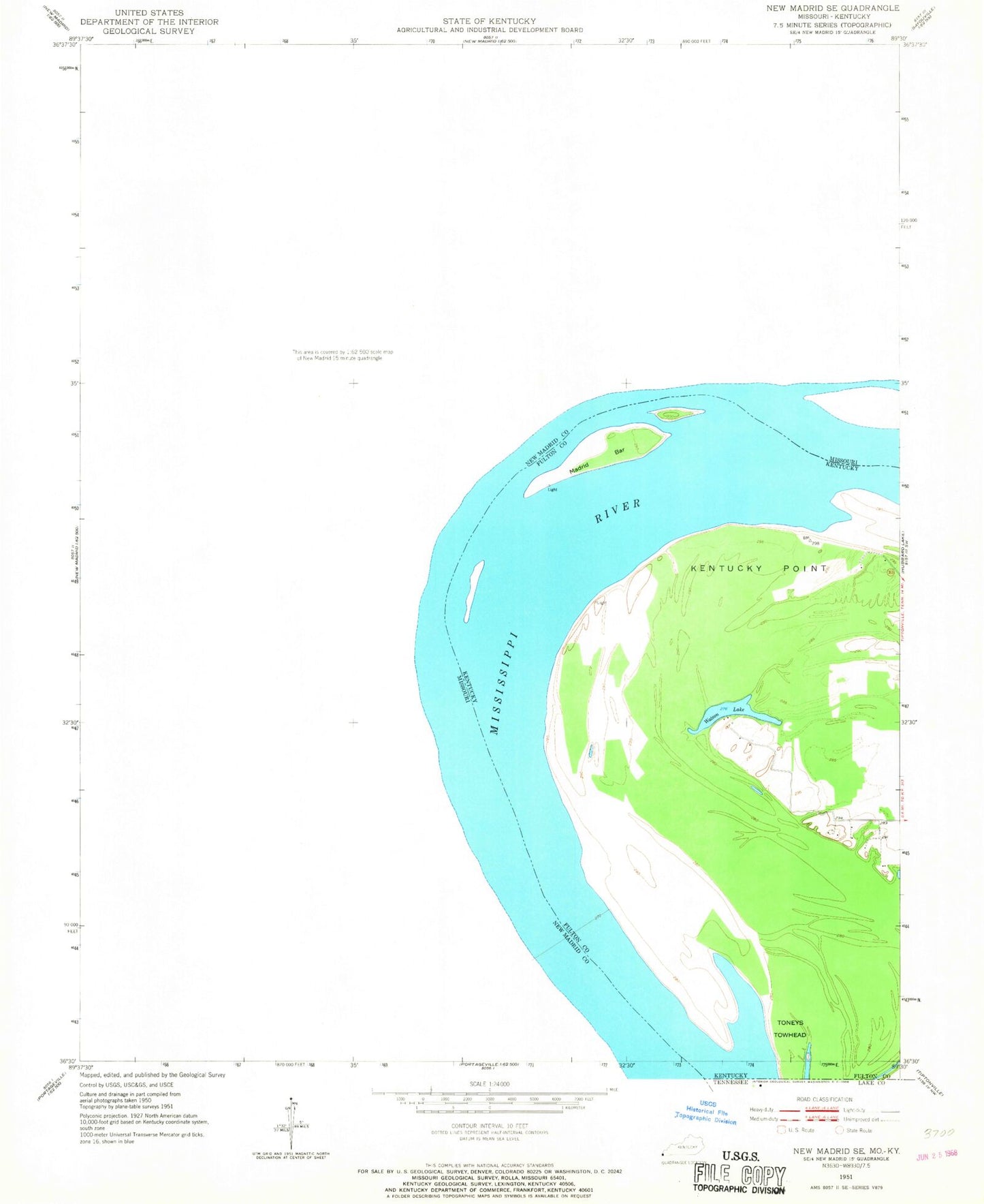
Classic USGS New Madrid Missouri 7.5'x7.5' Topo Map
Couldn't load pickup availability
Historical USGS topographic quad map of New Madrid in the states of Missouri, Kentucky. Map scale may vary for some years, but is generally around 1:24,000. Print size is approximately 24" x 27"
This quadrangle is in the following counties: Fulton, New Madrid.
The map contains contour lines, roads, rivers, towns, and lakes. Printed on high-quality waterproof paper with UV fade-resistant inks, and shipped rolled.
Contains the following named places: Alphonse C LaForge Cemetery, Baines Cemetery, Beaver Slough, Byrne - Howard Cemetery, City of Howardville, City of Lilbourn, City of Marston, City of New Madrid, Cody, County Memorial Airport, Dawson Cemetery, Des Cyprie, Dettroy Cemetery, Evergreen Cemetery, Ford Cemetery, Fulton Cemetery, Hatcher Cemetery, Haubold Cemetery, Howardville, Howardville Fire Department, Howardville Police Department, Hunter Cemetery, Hunter-Dawson State Park, Indian Mound, Kentucky Bend Division, Kentucky Point Bar, La Forge Cemetery, Lilbourn, Lilbourn Police Department, Lilbourn Post Office, Lilbourn Volunteer Fire Department, Madrid Bar, Marston, Marston Police Department, Marston Post Office, Marston Volunteer Fire Department, Minner Cemetery, Missouri Department of Conservation Forestry Southeast Regional Field Fire Office New Madrid, Morrison Chute, Morrison Towhead, Mound Church, Mounds Park Cemetery, New Hope Cemetery, New Hope Church, New Madrid, New Madrid Bend, New Madrid Bend Revetment, New Madrid County Port Dock, New Madrid County Sheriff's Office, New Madrid Fire Department, New Madrid Police Department, New Madrid Post Office, New Madrid Revetment, Newbauer Cemetery, North Lilbourn, Otis, Powell Cemetery, Raidt Cemetery, Reeder Cemetery, Robbins Cemetery, Saint Johns Bayou, Saint Mary Cemetery, Saint Mary School, Saint Marys Cemetery, Sand Hill Cemetery, Shelby Church, Shelby School, Sherwood Cemetery, Sims, Toneys Towhead, Village of North Lilbourn, Watson Lake, Watson Point, Wright Cemetery, ZIP Code: 63866


