MyTopo
Classic USGS New Market Ohio 7.5'x7.5' Topo Map
Couldn't load pickup availability
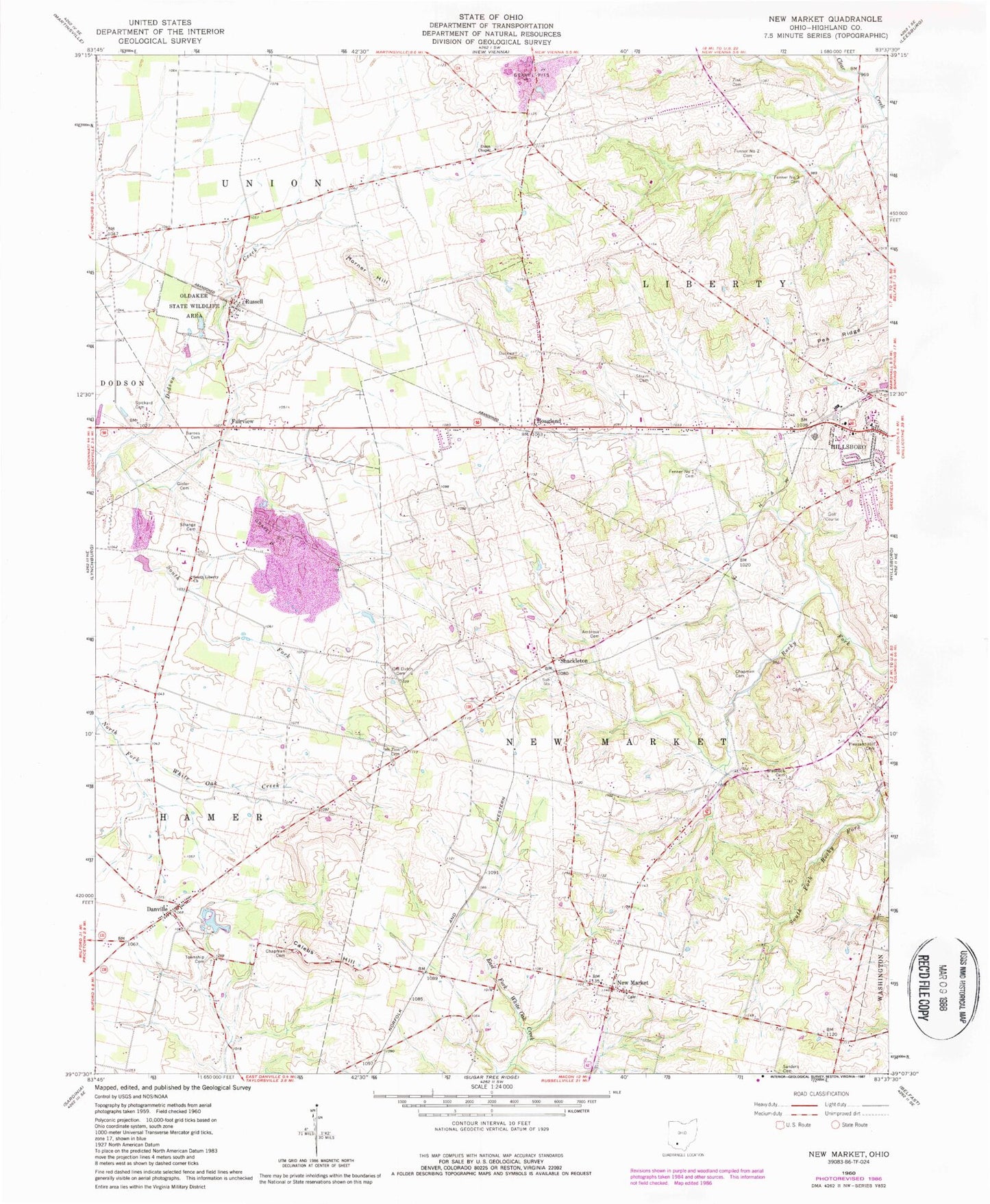
Historical USGS topographic quad map of New Market in the state of Ohio. Map scale may vary for some years, but is generally around 1:24,000. Print size is approximately 24" x 27"
This quadrangle is in the following counties: Highland.
The map contains contour lines, roads, rivers, towns, and lakes. Printed on high-quality waterproof paper with UV fade-resistant inks, and shipped rolled.
Contains the following named places: Ambrose Cemetery, Ambrose Chapel, Baptist Cemetery, Barber Farm, Barnes Cemetery, Branded Ranch, Brick School, Brier College School, Calebs Hill, Chapman Cemetery, Chapman School, Church of Christ, Danville, Danville Church of Christ, Dobbs Hill Farm, Duckwall Cemetery, Dunn Chapel, Dunns Chapel Cemetery, Ervin School, Fairview, Fenner Number 1 Cemetery, Fenner Number 2 Cemetery, Fenner Number 3 Cemetery, Fraysier Farms, Gibler Cemetery, Glascock Cemetery, Hamer Township Cemetery, Harrisburg School, Hillsboro Elks Country Club, Hoagland, Horner Hill, Hussey Run, Kansas College School, Lucky Lane Farms, McKenzie Farms, Mount Zion Cemetery, New Market, New Market Baptist Church, New Market Station, Newmarket Post Office, Old Dutch Cemetery, Oldaker Chapel, Oldaker State Wildlife Area, Pea Ridge, Peace Lutheran Church, Persimmon Ridge School, Pleasant Hill Cemetery, Pleasant Hill School, Presbyterian Cemetery, Russell, Russell Post Office, Sanders Cemetery, Shackleton, Shakeltown Post Office, Smith Acres Farm, South Fork Dodson Creek, South Liberty Church, Spickard Cemetery, Spring Hill Farm, Steele's Orchard, Steritz Farms, Strain Cemetery, Strange Cemetery, Thomas Farms, Township of Hamer, Township of New Market, Walking Spots Farm, Zink Cemetery