MyTopo
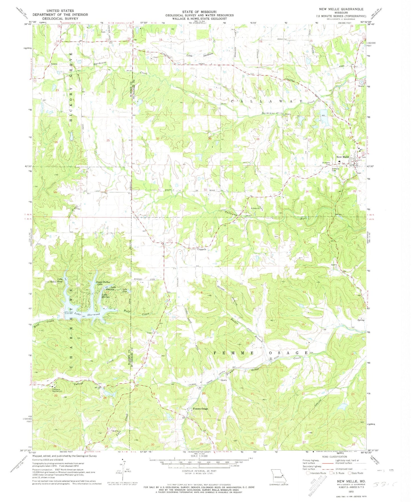
Classic USGS New Melle Missouri 7.5'x7.5' Topo Map
Couldn't load pickup availability
Historical USGS topographic quad map of New Melle in the state of Missouri. Typical map scale is 1:24,000, but may vary for certain years, if available. Print size: 24" x 27"
This quadrangle is in the following counties: St. Charles, Warren.
The map contains contour lines, roads, rivers, towns, and lakes. Printed on high-quality waterproof paper with UV fade-resistant inks, and shipped rolled.
Contains the following named places: Lake Alan, Lake Sherwood, Maple Dale School (historical), Liberty Grove School (historical), Wide Awake School (historical), Emmaus Sanitarium, Saint Pauls Cemetery, Becker Branch, Cappeln, Femme Osage, Friedens Cemetery, New Melle, Saint Johns Church, Cappeln Lookout (historical), Cappeln School (historical), Doeblin School (historical), Saint Johns School (historical), Vine Hill School (historical), Lake Eleanor, Lake Marian, Lake Robin Hood, Sugar Hollow Lake, Township of Callaway (historical), Lake Sherwood Dam, Lake Robin Hood Dam, Timber Lake Dam, Flemming Lake, Lost Lake Dam, Greenfelder Lake, Langosch Lake Dam, Langosch Lake, Lawson Lake Dam, Bonze and Hoffmann Lake, Wolk Lake Dam, Kutryb Lake Dam, Lake Eleanor Dam, Marian Lake Dam, Felix Struckoff Dam, Felix Struckhoff Lake, Arp Choille Company Section 23 Dam, Cady Lake, Parkers Dam, Parker Lake, Sugar Hollow Lake Dam, Stergen Lake Dam, Borgelt Lake Dam, Lake Belle-Ann Dam, Lake Belle-Ann, City of New Melle, New Melle Fire Protection District Station 3, New Melle Fire Protection District Station 1, Daniel Boone Elementary School, New Melle Police Department, New Melle Post Office


