MyTopo
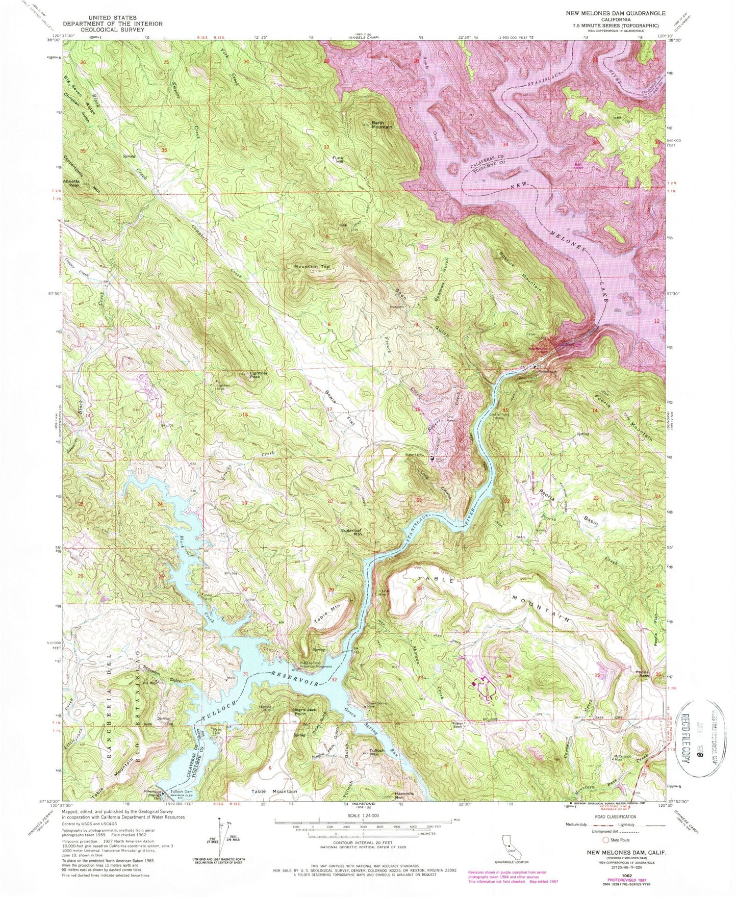
Classic USGS New Melones Dam California 7.5'x7.5' Topo Map
Couldn't load pickup availability
Historical USGS topographic quad map of New Melones Dam in the state of California. Typical map scale is 1:24,000, but may vary for certain years, if available. Print size: 24" x 27"
This quadrangle is in the following counties: Calaveras, Tuolumne.
The map contains contour lines, roads, rivers, towns, and lakes. Printed on high-quality waterproof paper with UV fade-resistant inks, and shipped rolled.
Contains the following named places: Abbotts Peak, Alto Mine, Barth Mountain, Bean Gulch, Black Creek, Black Creek, Bostick Mountain, Bowie Flat, Bowman Gulch, Campbell Creek, Casnau Creek, Central Ferry, Christian Gulch, Copper Creek, French Creek, Green Spring Mine, Hammils Mountain, If I Can Mine, Iron Canyon, Lightner Mine, Lightner Peak, Long Canyon, Loucks Creek, McCormick Mine, Melones Dam (historical), Mountain Top, Negro Jack Gulch, Negro Jack Point, O Byrne Ferry Historical Monument, Peoria Basin, Peoria Creek, Peoria Pass, Rocky Gulch, Rogers Creek, Sawmill Creek, Scorpion Gulch, Shotgun Creek, Empire Creek, Green Spring Run, Sugarloaf Mine, Tulloch Dam, Tulloch Gulch, Valencia Mine, Wagner Ranch, York Creek, Andrew Creek, New Melones Lake, Tulloch Reservoir, Tulloch Mountain, Angels Creek, Mormon Creek, Funk Hill, Peoria Mountain, Bostick Bar, New Melones Dam, O'Byrnes Ferry (historical), O'Byrnes School (historical), Reynolds Ferry (historical), Vermont Bar, Black Jack Bluffs, Jamestown Conservation Camp, South Shore Recreation Area, The Shores of Poker Flat, Sierra Conservation Center Fire Department, Peoria Airport (historical), Copperopolis Quarry, Sierra Conservation Center


