MyTopo
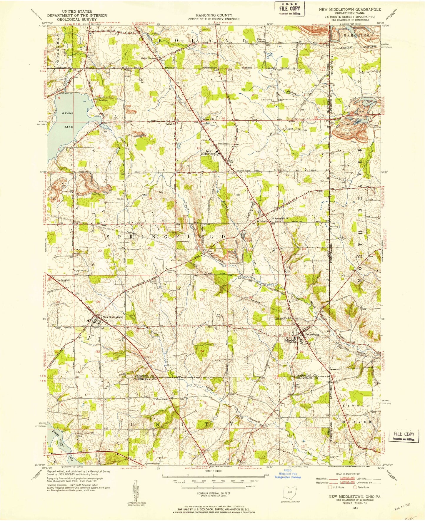
Classic USGS New Middletown Ohio 7.5'x7.5' Topo Map
Couldn't load pickup availability
Historical USGS topographic quad map of New Middletown in the states of Ohio, Pennsylvania. Map scale may vary for some years, but is generally around 1:24,000. Print size is approximately 24" x 27"
This quadrangle is in the following counties: Columbiana, Lawrence, Mahoning.
The map contains contour lines, roads, rivers, towns, and lakes. Printed on high-quality waterproof paper with UV fade-resistant inks, and shipped rolled.
Contains the following named places: Beard Road Cemetery, Beaver Lake, Bethel Cemetery, Bethel Church of the Brethren, Bethel Evangelical Friends Church, Carbon Limestone Landfill, Center School, Collier Lake, Collier Lake Dam, Deer Meadow Mobile Home Park, Esterly School, Evans Lake, Evans Lake Dam, Ginger Hill, Go-Tag-Along Lake, Go-Tag-A-Long Lake Dam, Harman Run, Hass School, Honey Creek, J And H Mobile Home Park, Kansas Corners, Koch Cemetery, Mahoning Landfill, Meadowood, Morris Field, New Middletown, New Middletown Elementary School, New Middletown Plaza Shopping Center, New Middletown Post Office, New Middletown Volunteer Fire Department, New Springfield, New Springfield Cemetery, New Springfield Census Designated Place, New Springfield Elementary School, New Springfield Post Office, Old Petersburg Cemetery, Old Springfield Cemetery, Old Springfield United Church of Christ, Pa-21 Dam, Petersburg, Petersburg Airport, Petersburg Census Designated Place, Petersburg Post Office, Richey Airport, Saint Johns Cemetery, Saint Lukes Church, Schroy Cemetery, Smith Corners, Springfield High School, Springfield Intermediate School, Springfield Township Fire Department Station 21, Springfield Township Fire Department Station 23, Springfield Township Fire Station, Springfield Township Police Department, Subrosa, Subrosa Post Office, Subrosa School, Township of Springfield, Village of New Middletown, Village of New Middletown Police Department, WKBN-AM (Youngstown), WYWR-AM (Campbell), Zion Lutheran Cemetery, ZIP Codes: 44442, 44443, 44454


