MyTopo
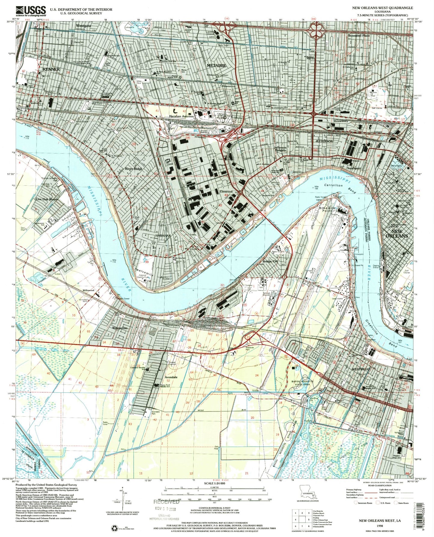
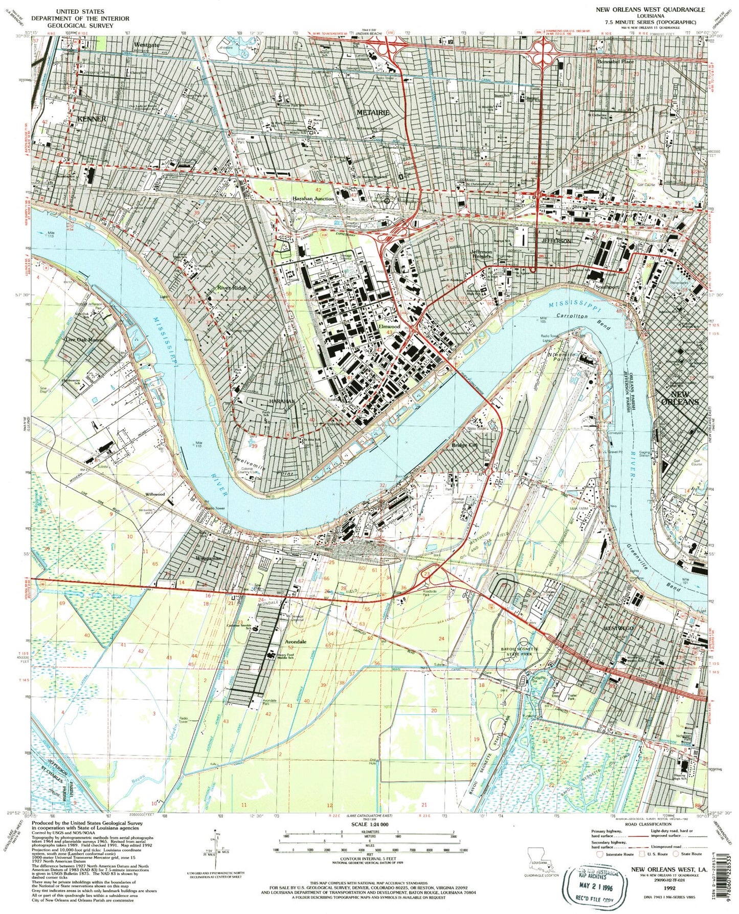
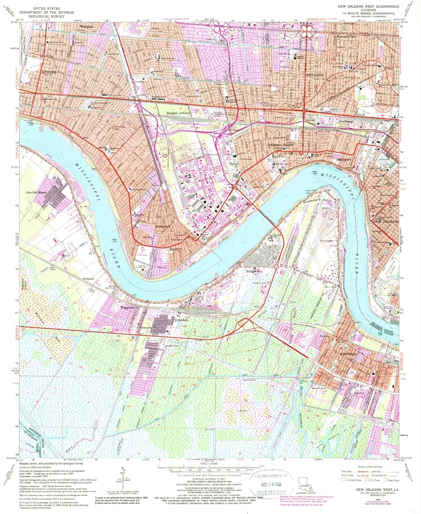
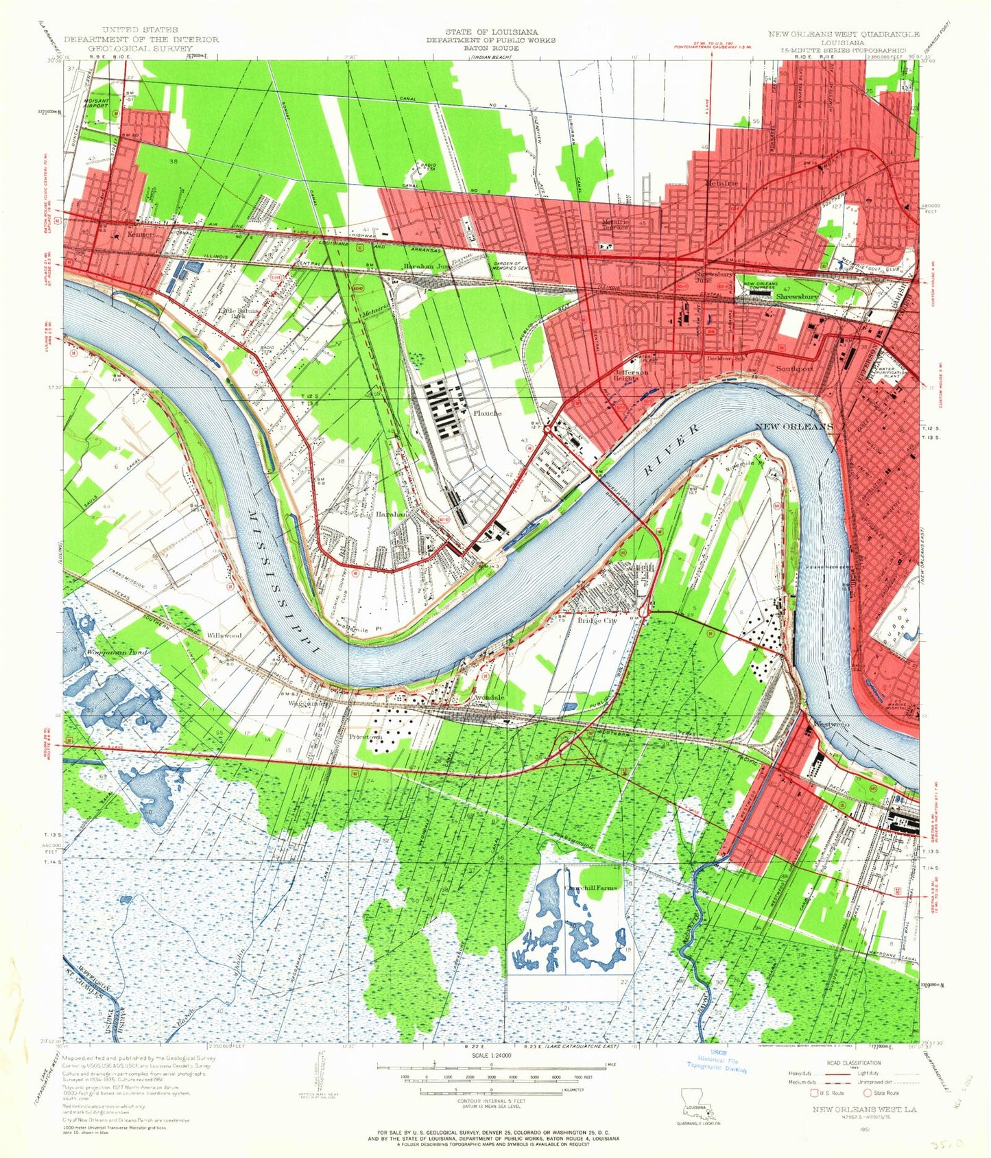
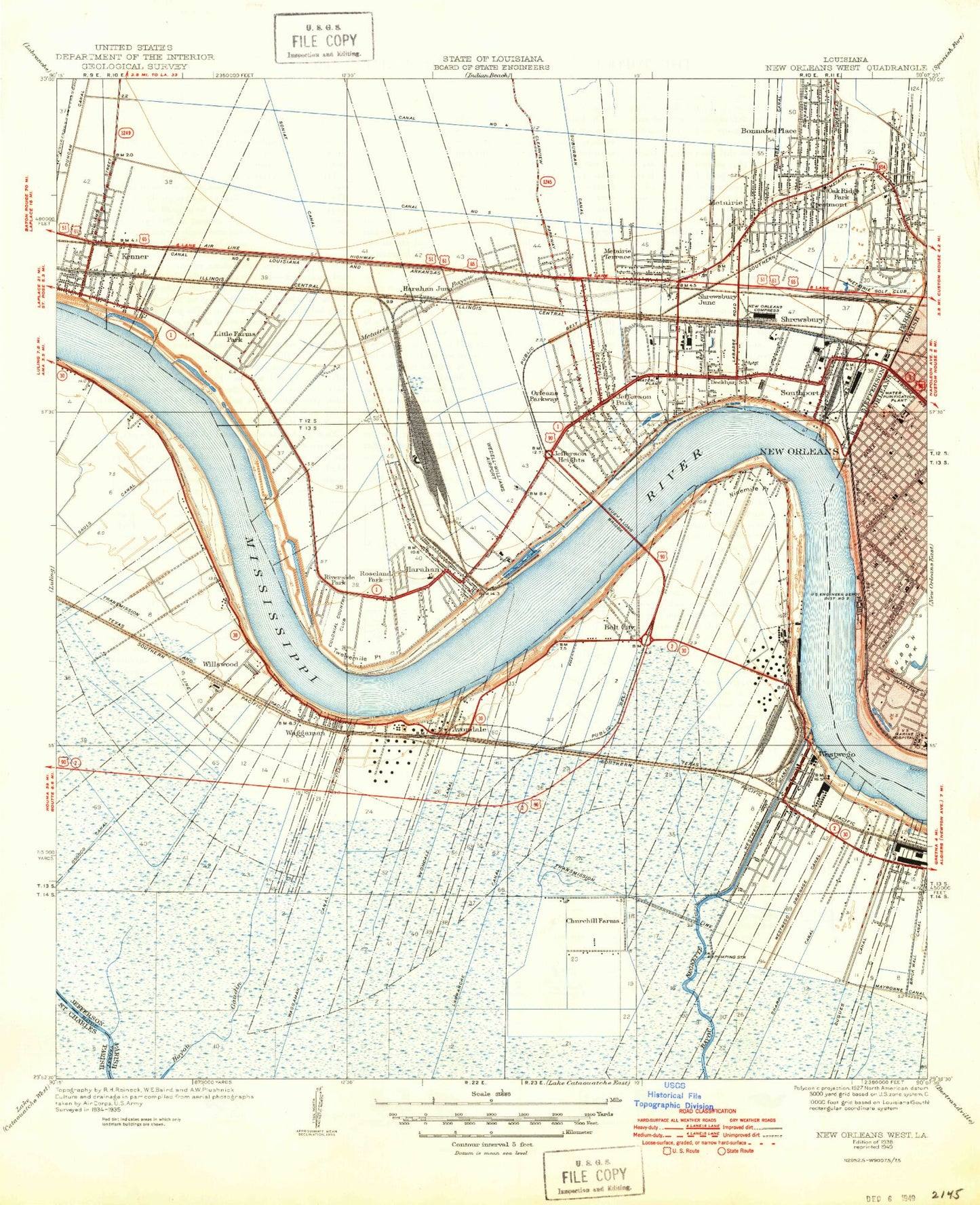
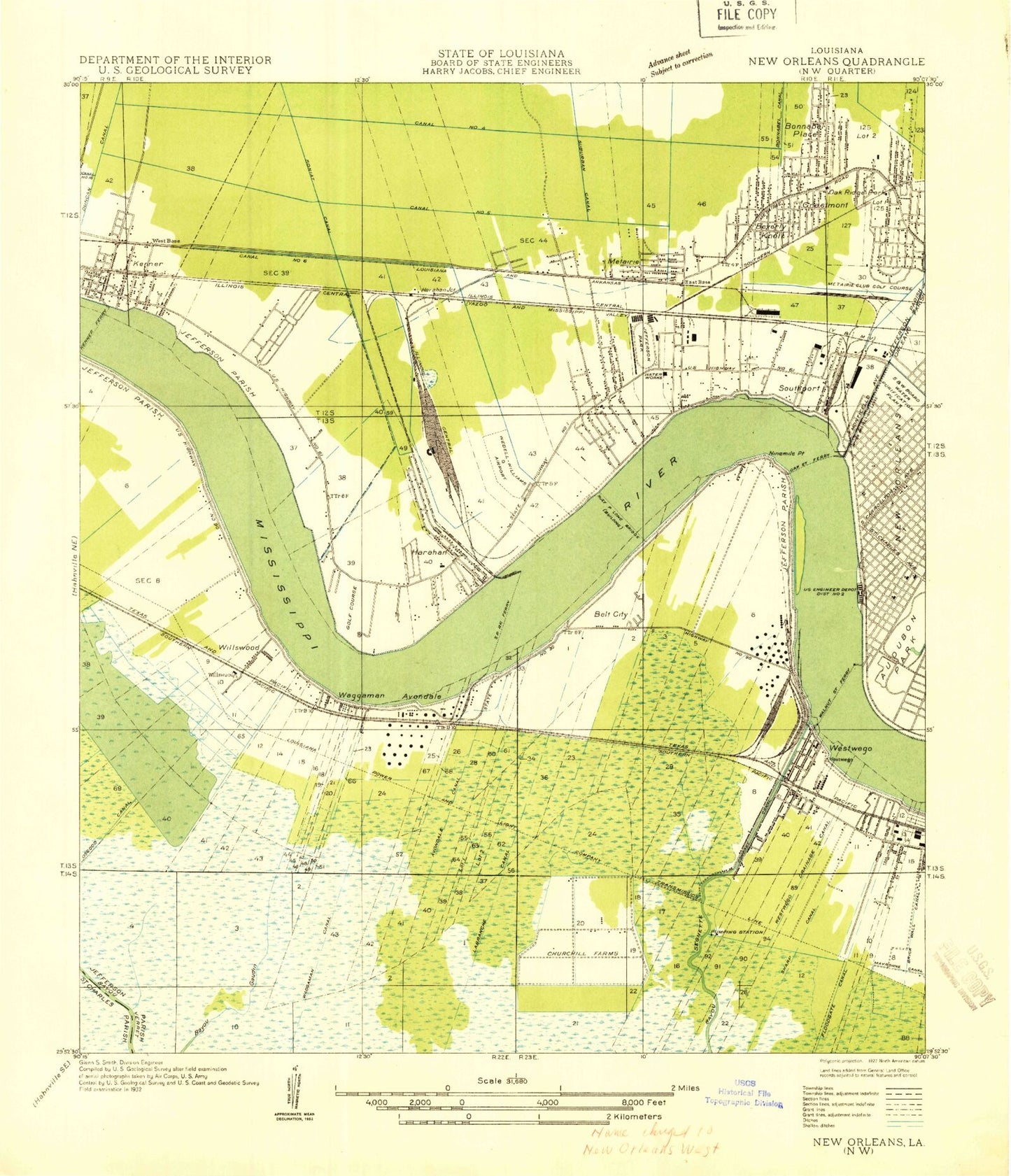
Classic USGS New Orleans West Louisiana 7.5'x7.5' Topo Map
Couldn't load pickup availability
Historical USGS topographic quad map of New Orleans West in the state of Louisiana. Map scale may vary for some years, but is generally around 1:24,000. Print size is approximately 24" x 27"
This quadrangle is in the following counties: Jefferson, Orleans, St. Charles.
The map contains contour lines, roads, rivers, towns, and lakes. Printed on high-quality waterproof paper with UV fade-resistant inks, and shipped rolled.
Contains the following named places: Advance Care Hospital, Air Oil Incorporated Heliport, Airline Park Academy, Airline Park Shopping Center, Airline Village Shopping Center, Archbishop Rummel High School, Audubon Park, Audubon Park Golf Course, Audubon Zoo, Avondale, Avondale Bend, Avondale Bend Revetment, Avondale Canal, Avondale Census Designated Place, Avondale Heliport, Avondale Homes Number One Canal, Avondale Homes Number Two Canal, Avondale Oil Field, Avondale Park, Avondale Plantation, Avondale Square Shopping Center, Azalea Gardens Shopping Center, Banche Career Center, Bayou Gaudin, Bayou Segnette Oil Field, Bayou Segnette State Park, Bayou Verret, Benjamin Banneker Elementary School, Beverly Knoll, Bonnabel Place, Bridge City, Bridge City Census Designated Place, Bridge City Wastewater Treatment Plant, Bridgedale Elementary School, Canal Number Five, Canal Number Four, Carrollton, Carrollton Bend, Carrollton Bend Revetment, Carrollton Historic District, Carrollton School, Carrollton Water Purification Plant, Castay Shopping Center, Catherine Strehle Elementary School, Cedar Grove Plantation, Cherbonnier / Rillieux Elementary School, Children's Hospital, Churchill Farms, Circle West Mobile Homes Estates, City of Harahan, City of Westwego, Clancy - Maggiore Elementary School for the Arts, Cleary Park, Colonial Country Club, Colonial Golf Course, Colonial Shopping Center, Commerce Center Shopping Center, Crisis Center River Oaks Center, Deckbar Alternative School, Delgado Community College - Jefferson, Delta Park, Derbigny Plantation, Dolorosa School, Dugues Canal, East Jefferson High School, Ella Dolhonde Elementary School, Elmwood, Elmwood Census Designated Place, Elmwood Plantation, Elmwood Village Shopping Center, Faith Lutheran School, First Baptist Christian School, Fort Banks, Foucher Plantation, Garden of Memories Cemetery, Green Acres Park, Green Park Elementary School, Greenville, Greenville Bend, Harahan, Harahan Elementary School, Harahan Junction, Harrell Stadium, Haynes Academy for Advanced Studies, Hazel Park Hilda Knoff Elementary School, Henry Ford Middle School, Higgins High School, Highland Square Shopping Center, Huey P Long Bridge, Jefferson, Jefferson Census Designated Place, Jefferson Center, Jefferson Elementary School, Jefferson Heights, Jefferson Heights Academy, Jefferson Park, Jefferson Plaza Shopping Center, Jefferson School, Jessie Owens Park, John Curtis Christian School, John H Martyn Community School, Joshua Butler Elementary School, Kark Park, Kehoe France School, Kennedy Heights, Kenner, Kenner Revetment, Labranche Canal, Lafreniere Park, Lions Playground, Little Farms, Little Farms Park, Live Oak Manor, Live Oak Manor Elementary School, Louis H Marrero Park, Louisiana Noname 94 Dam, Loyola University New Orleans College of Law, Lycee Francais de la Nouvelle - Orleans Johnson Campus, M A Green Shopping Center, Magnolia Lane Plantation, Magnolia School, Main Canal, Mayronne Canal, McDonogh School, Metairie, Metairie Academy for Advanced Studies School, Metairie Census Designated Place, Metairie Country Club, Metairie Hospital, Metairie Playground, Metairie Ridge, Metairie Terrace, Mike Miler Park, Mildred Harris Elementary School, Miley Park, Myrtle C Thibodeaux Elementary School, New Orleans Sewage and Water Board, Nicholson Park, Ninemile Point, Norton School, Oak Lawn Plantation, Oak Park Shopping Center, Oak Ridge Park, Ochsner Foundation Hospital, Ochsner Foundation Hospital Heliport, Ochsner Medical Center, Old Metairie Village Shopping Center, Omega Hospital, Orlandos Mobile Home Park, Our Lady of Perpetual Help Elementary School - Kenner, Our Lady of Prompt Succor Cemetery, Our Lady of Prompt Succor Elementary School, Our Lady of the Angels Cemetery, P H I Heliport, Parish Governing Authority District 2, Petro Com Headquarters Heliport, Phi Harahan Heliport, Phoebe Hearst Elementary School, Plaza 24 Shopping Center, Popeyes Heliport, Pricetown, Priestley Junior High School, Providence Memorial Park Cemetery, Railroad Canal, Rex Trailer Court, River Oaks Hospital, River Ridge, River Ridge Census Designated Place, Riverdale High School, Riverside Alternative High School Special Services District Facility, Riverside Christian Academy, Rosedale Plantation, Rudolph Matas Elementary School, Saint Agnes School, Saint Benilde School, Saint Catherine of Siena School, Saint Christopher School, Saint Edward the Confessor School, Saint Francis Xavier School, Saint Joan of Arc School - New Orleans, Saint Martins Episcopal High School, Saint Martins Episcopal School, Saint Mary Magdalen School, Saint Matthew School, Saint Matthew the Apostle School, Saint Rita Catholic School, Saint Therese Academy, Seven Oaks Plantation, Sharp Canal, Shrewsbury, Shrewsbury Junction, Soniat Canal, Soniat Playground, Southport, Stella Worley Middle School, Stuart School, T H Harris Middle School, Thomas Jefferson Park, Tulane Lakeside Hospital, Twelvemile Point, University School, Upstream Shopping Center, Uptown Square Shopping Center, Vans Shopping Center, Vic A Pitre Elementary School, Waggaman, Waggaman Canal, Waggaman Census Designated Place, Ward Eight, Ward Five, Ward Nine, Ward Seven, Washington Elementary School, Wego Shopping Center, West Bank Cathedral Academy, Westwego, Westwego Drainage Canal, Westwego Oil and Gas Field, Westwego Park, Westwego Swamp, Westwego Wastewater Treatment Facility, Westwood Shopping Center, Whisky Bayou, Whitehall Plantation, Willswood, Willswood Pond, WVOG-AM (New Orleans), WWOZ-FM (New Orleans), Zephyr Field, ZIP Codes: 70001, 70005, 70094, 70118, 70121, 70123
