MyTopo
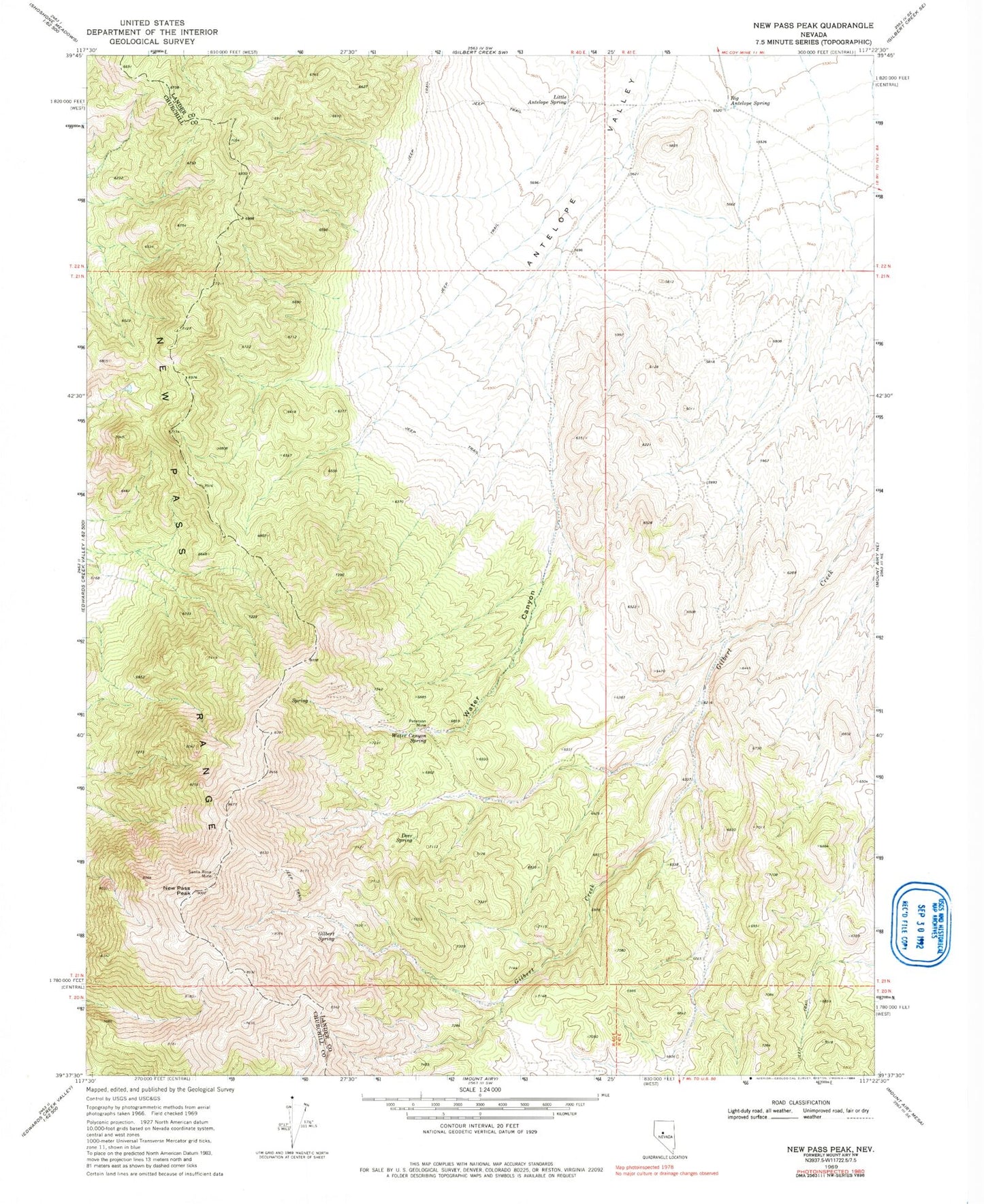
Classic USGS New Pass Peak Nevada 7.5'x7.5' Topo Map
Regular price
$16.95
Regular price
Sale price
$16.95
Unit price
per
Couldn't load pickup availability
Historical USGS topographic quad map of New Pass Peak in the state of Nevada. Map scale may vary for some years, but is generally around 1:24,000. Print size is approximately 24" x 27"
This quadrangle is in the following counties: Churchill, Lander.
The map contains contour lines, roads, rivers, towns, and lakes. Printed on high-quality waterproof paper with UV fade-resistant inks, and shipped rolled.
Contains the following named places: Antelope Station, Big Antelope Spring, Deer Spring, Gilbert Spring, Little Antelope Spring, New Pass Peak, New Pass Range, Peterson Mine, Santa Rosa Mine, Water Canyon, Water Canyon Spring