MyTopo
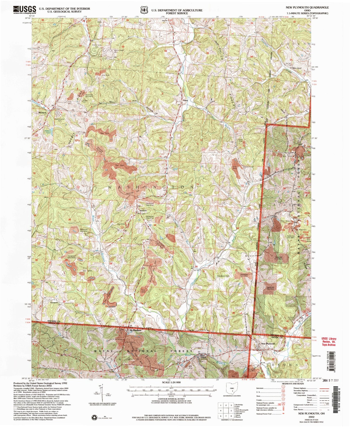
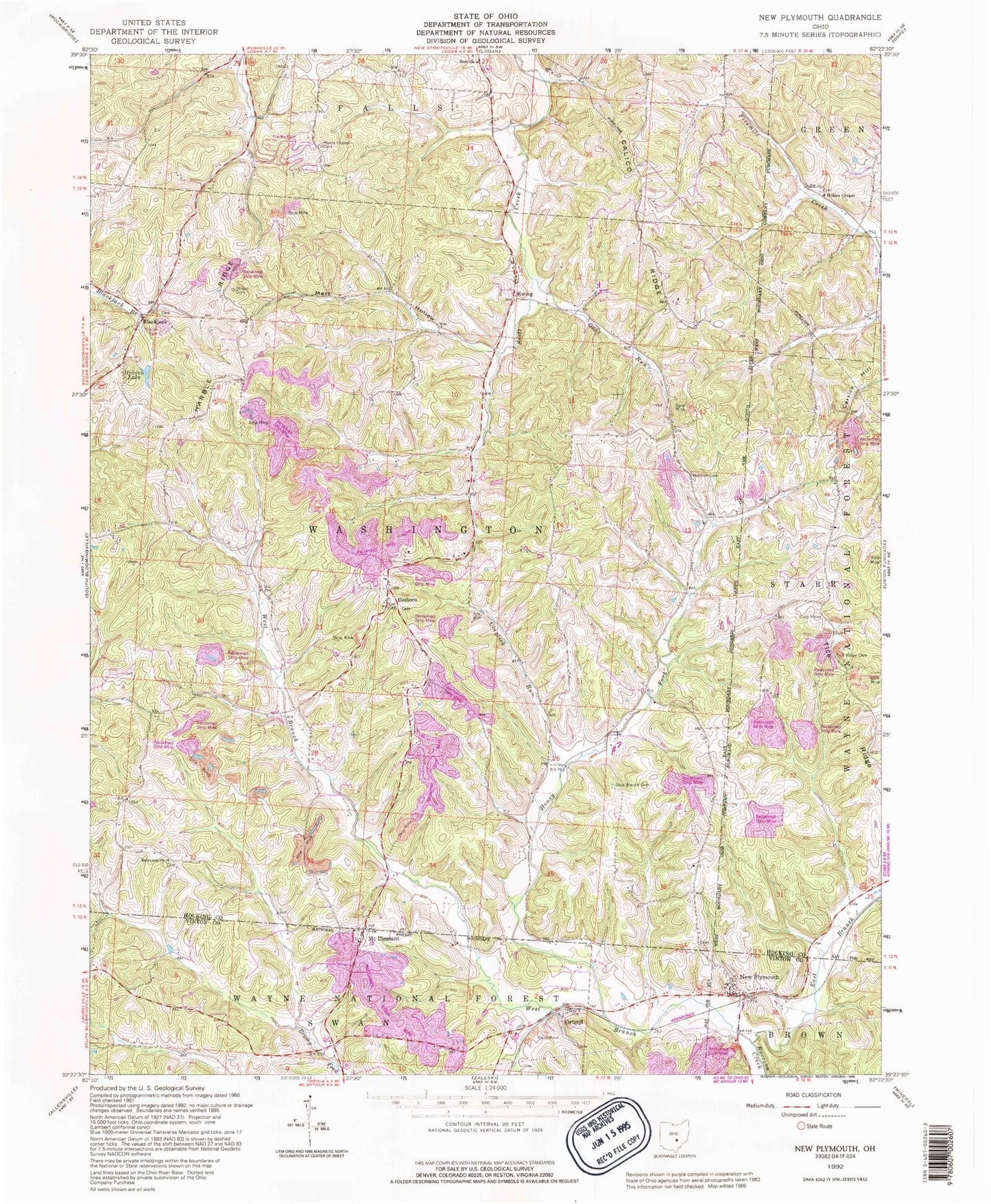
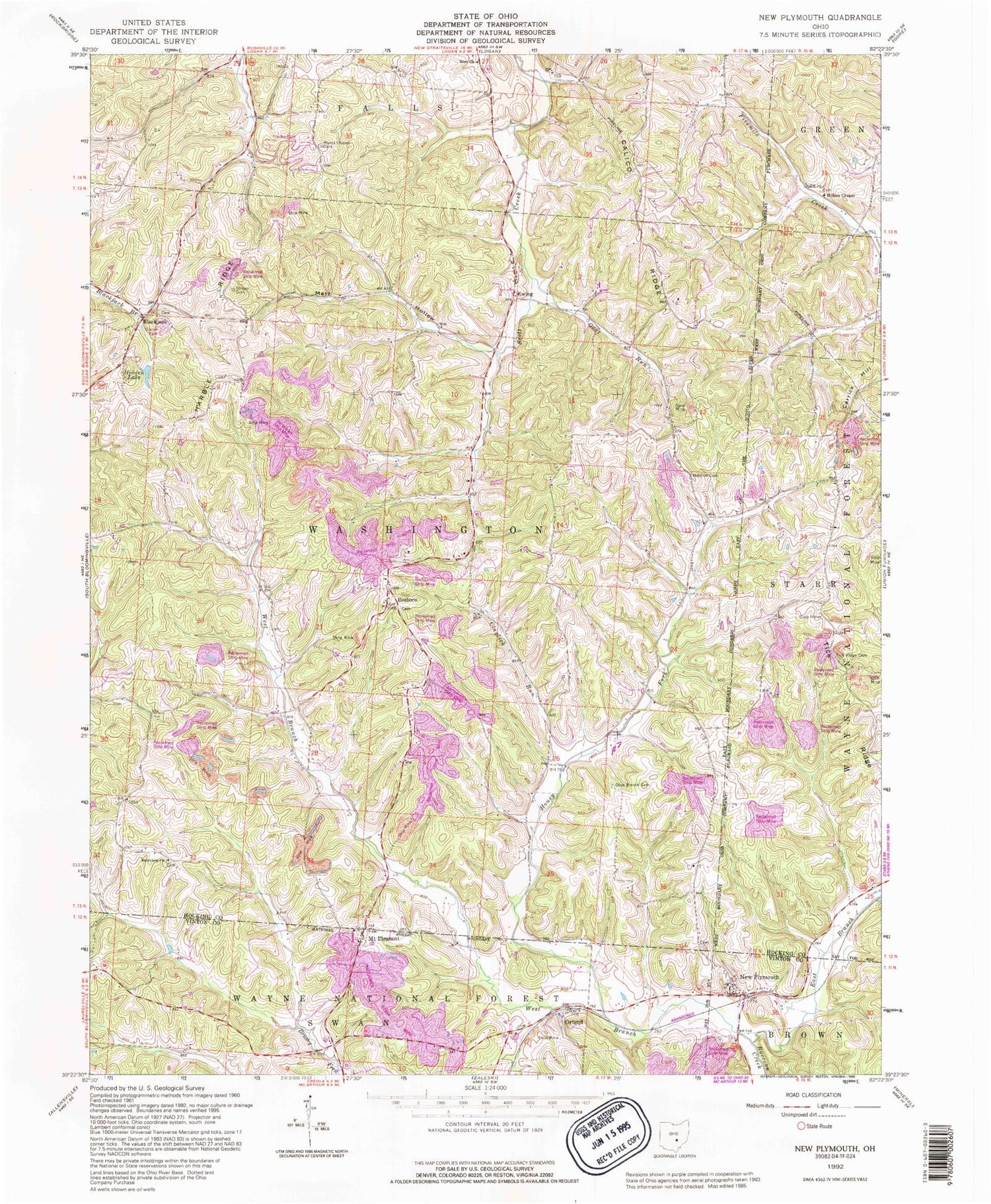
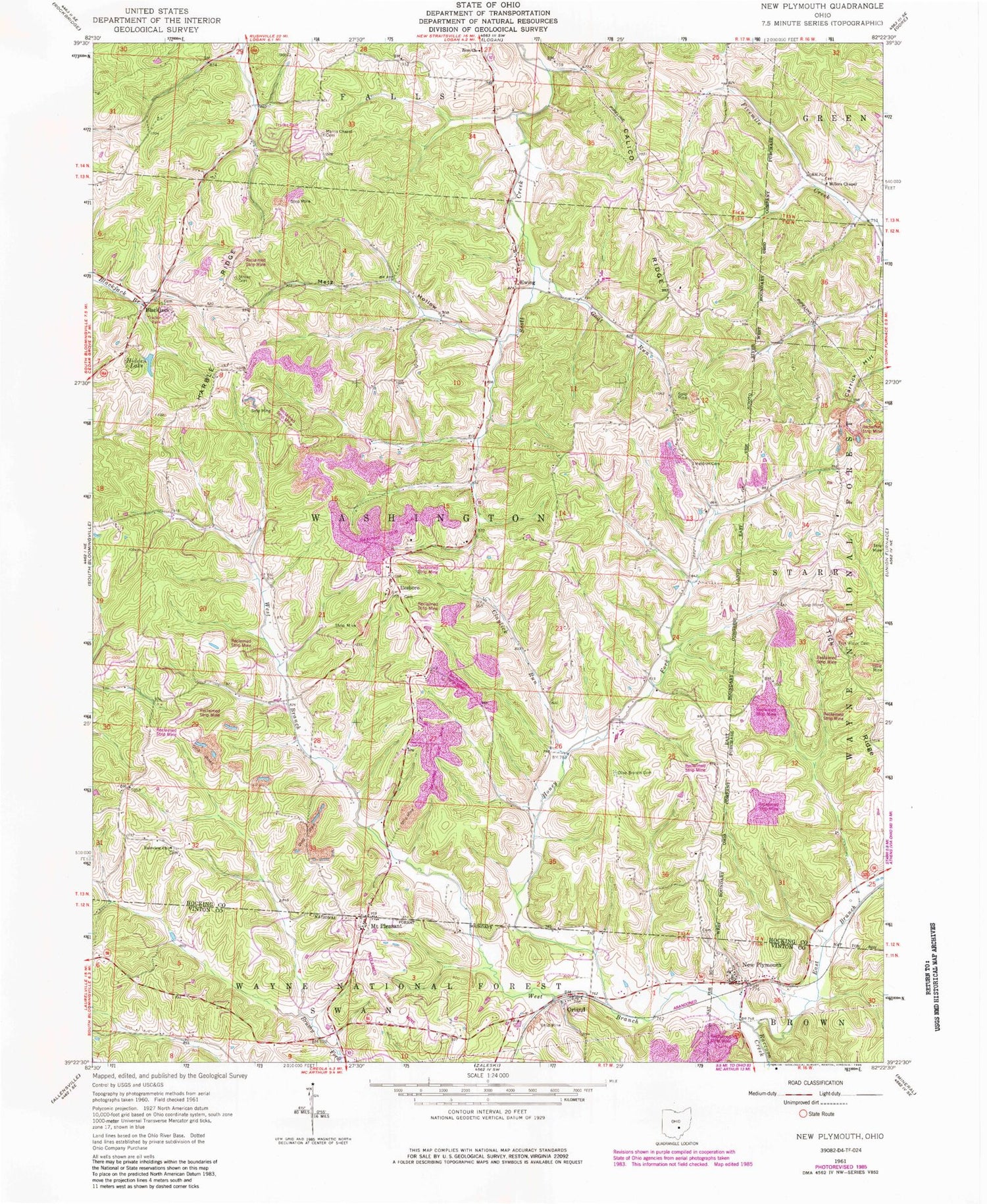
Classic USGS New Plymouth Ohio 7.5'x7.5' Topo Map
Couldn't load pickup availability
Historical USGS topographic quad map of New Plymouth in the state of Ohio. Typical map scale is 1:24,000, but may vary for certain years, if available. Print size: 24" x 27"
This quadrangle is in the following counties: Hocking, Vinton.
The map contains contour lines, roads, rivers, towns, and lakes. Printed on high-quality waterproof paper with UV fade-resistant inks, and shipped rolled.
Contains the following named places: Smock (historical), Hocking County, Blackjack, Calico Ridge, Carrick Hill, Claylick Run, East Branch Raccoon Creek, Ewing, Fairview United Brethren Church, Goat Run, Harble Ridge, Honey Fork, Ilesboro, Meldrim Cemetery, Morris Chapel, Mount Pleasant, New Plymouth, Olive Branch Cemetery, Orland, Strawn Cemetery, Tick Ridge, Tick Ridge Cemetery, West Branch Raccoon Creek, Zion Church, Millers Chapel, Metz Hollow, Hidden Lake Dam, Hidden Lake, Camp Otterbein Lake, Township of Washington, Miller Chapel Cemetery, Mount Pleasant Cemetery, New Plymouth Cemetery, Blackjack Cemetery, Ewing Cemetery, Fairview Cemetery, Ilesboro Cemetery, Morris Chapel Cemetery, Ewing Post Office (historical), Smock Post Office (historical), Isleboro Post Office (historical), Blackjack Post Office (historical), Washington Township Volunteer Fire Department, New Plymouth Post Office, Smock (historical), Hocking County, Blackjack, Calico Ridge, Carrick Hill, Claylick Run, East Branch Raccoon Creek, Ewing, Fairview United Brethren Church, Goat Run, Harble Ridge, Honey Fork, Ilesboro, Meldrim Cemetery, Morris Chapel, Mount Pleasant, New Plymouth, Olive Branch Cemetery, Orland, Strawn Cemetery, Tick Ridge, Tick Ridge Cemetery, West Branch Raccoon Creek, Zion Church, Millers Chapel, Metz Hollow, Hidden Lake Dam, Hidden Lake, Camp Otterbein Lake, Township of Washington, Miller Chapel Cemetery, Mount Pleasant Cemetery, New Plymouth Cemetery, Blackjack Cemetery, Ewing Cemetery, Fairview Cemetery, Ilesboro Cemetery, Morris Chapel Cemetery, Ewing Post Office (historical), Smock Post Office (historical), Isleboro Post Office (historical), Blackjack Post Office (historical), Washington Township Volunteer Fire Department, New Plymouth Post Office