MyTopo
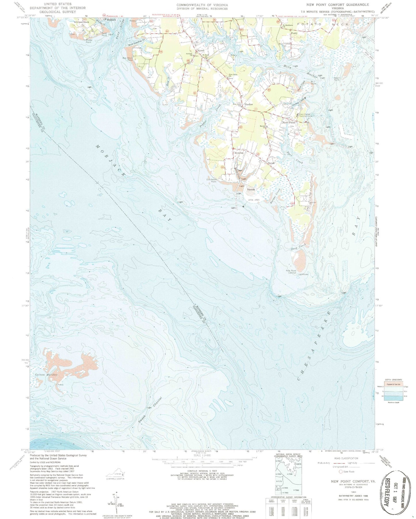
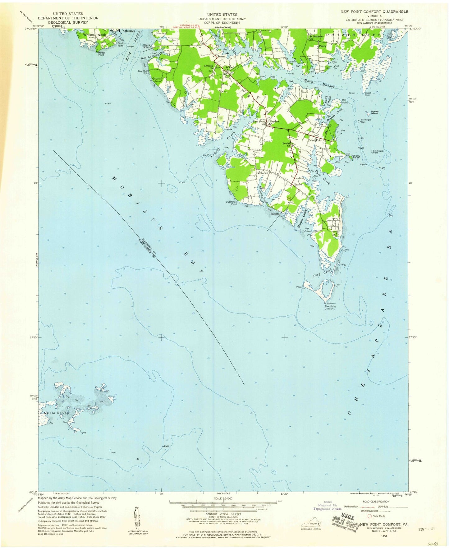
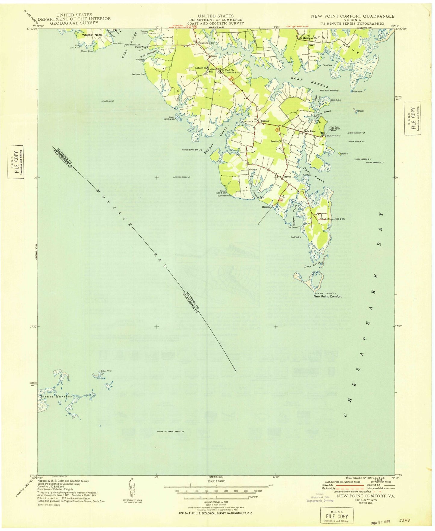
Classic USGS New Point Comfort Virginia 7.5'x7.5' Topo Map
Couldn't load pickup availability
Historical USGS topographic quad map of New Point Comfort in the state of Virginia. Map scale may vary for some years, but is generally around 1:24,000. Print size is approximately 24" x 27"
This quadrangle is in the following counties: Gloucester, Mathews, York.
The map contains contour lines, roads, rivers, towns, and lakes. Printed on high-quality waterproof paper with UV fade-resistant inks, and shipped rolled.
Contains the following named places: Antioch Cemetery, Antioch Church, Armistead - Hudgins Family Cemetery, Armistead Burial Ground, Armistead Cemetery, Bavon, Bay Shore Point, Bay Side Wharf, Bayside, Beach Point, Beulah Church, Borum Cemetery, Brooks Cemetery, Campground Cemetery, Covill Burial Ground, Davis Creek, Davis Creek Landing, Davis Creek Landing Boat Ramp, Deep Creek, Diggs Wharf, Doctors Creek, Doctors Creek Landing Boat Ramp, Dutchman Point, Dyer Creek, East River, Grinnell Family Cemetery, Guinea Marshes, Harper Creek, Horn Harbor, Horn Harbor Cemetery, Horn Harbor Landing, Horn Harbor Marina, Horn Harbor Nursing Home, Hudgins Cemetery, Hurst Burial Ground, Jarvis Burial Ground, Mathews Volunteer Fire Department Station 5, Mill Point, Minter Point, Mobjack Bay, Motorun, New Point, New Point Church, New Point Comfort, New Point Comfort Lighthouse, New Point Post Office, New Point School, New Point School Cemetery, New Point Wharf, Old Mill Landing, Owen Burial Ground, Peary, Pepper Creek, Pond Point, Potato Neck, Potato Neck Landing Boat Ramp, Ripley Cemetery, Saint Matthews Church, Saint Pauls Cemetery, Saint Pauls Church, Shadow, Sloop Creek, Smith Creek, Susan, Susan Post Office, West Burial Ground, West Landing Creek, White Cemetery, Whites Creek, ZIP Codes: 23056, 23125, 23138, 23163


