MyTopo
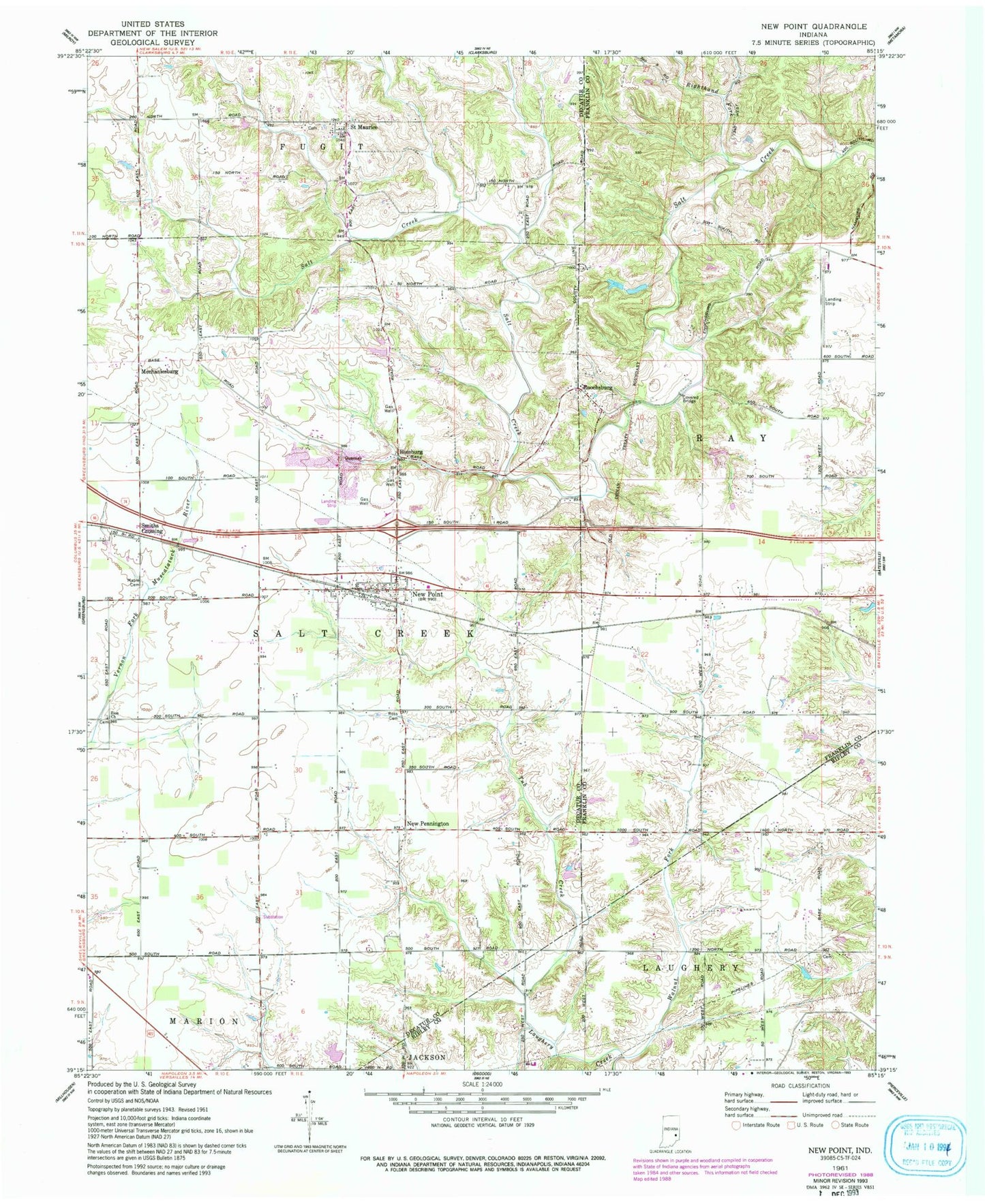
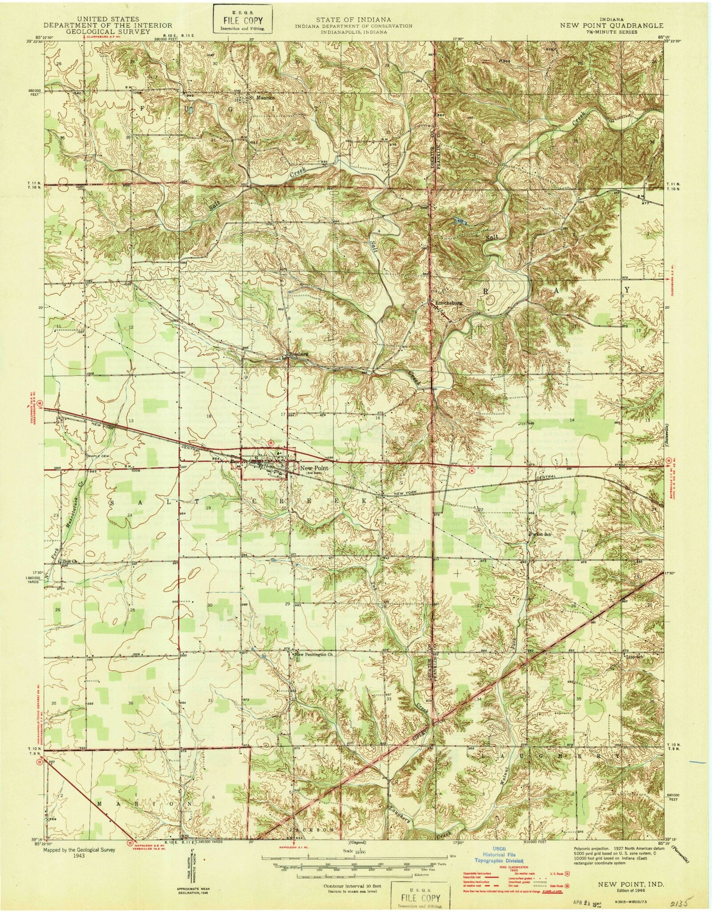
Classic USGS New Point Indiana 7.5'x7.5' Topo Map
Couldn't load pickup availability
Historical USGS topographic quad map of New Point in the state of Indiana. Map scale may vary for some years, but is generally around 1:24,000. Print size is approximately 24" x 27"
This quadrangle is in the following counties: Decatur, Franklin, Ripley.
The map contains contour lines, roads, rivers, towns, and lakes. Printed on high-quality waterproof paper with UV fade-resistant inks, and shipped rolled.
Contains the following named places: Batesville Airport, Enochsburg, Maple Cemetery, Mechanicsburg, New Pennington, New Point, New Point Marshals Department, New Point Post Office, New Point Quarry, New Point Volunteer Fire Department, Old Rossburg Church Cemetery, Puttmann Field, Righthand Fork Salt Creek, Rocket School, Ross Cemetery, Rossburg, Rossburg Cemetery, Saint Johns Cemetery, Saint Maurice, Saint Maurice Cemetery, Smiths Crossing, Town of New Point, Township of Laughery, Township of Saltcreek, Tub Creek, Walnut Fork, Wenning Jersey Farm, Zion Church, ZIP Code: 47263