MyTopo
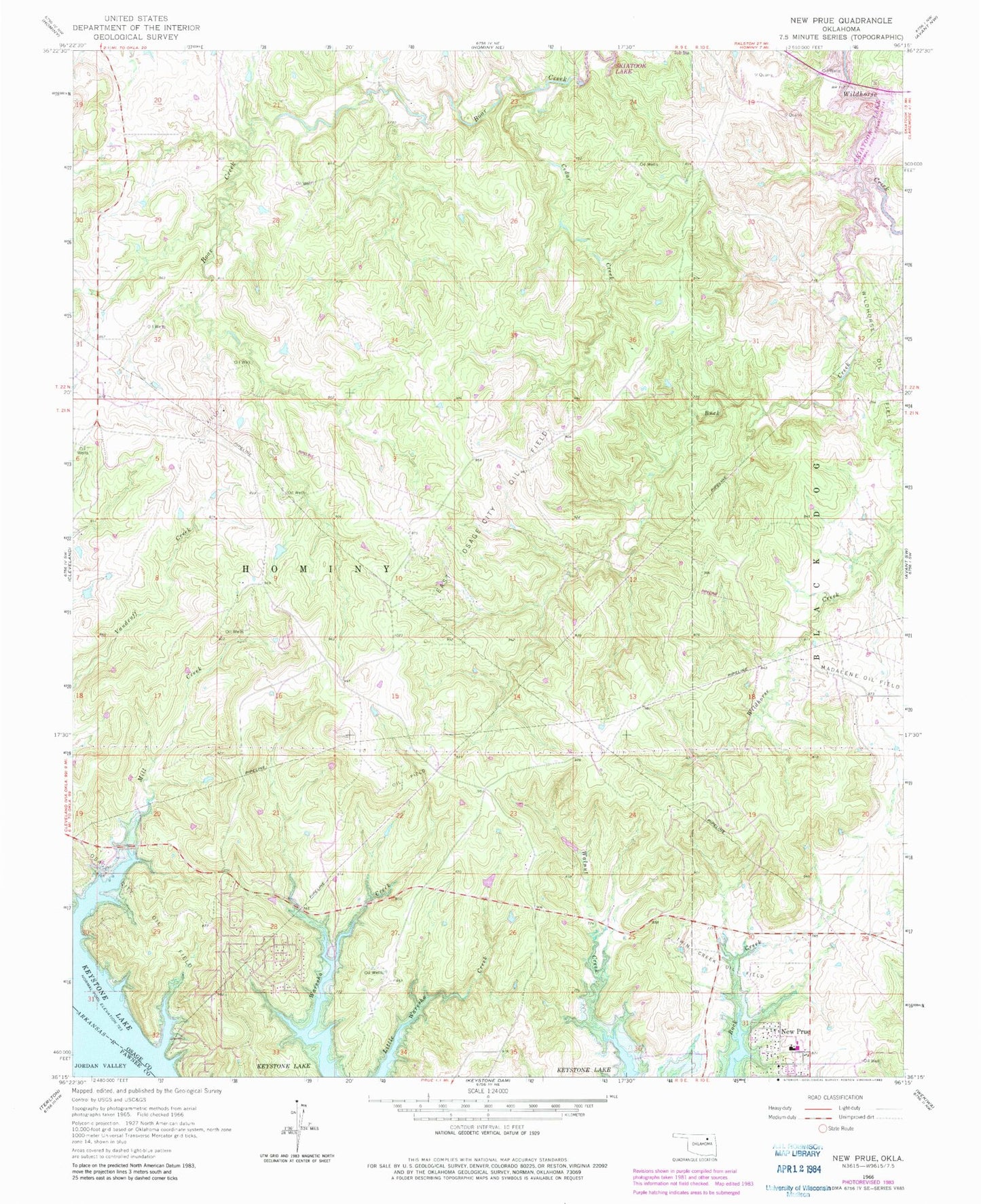
Classic USGS New Prue Oklahoma 7.5'x7.5' Topo Map
Couldn't load pickup availability
Historical USGS topographic quad map of New Prue in the state of Oklahoma. Map scale may vary for some years, but is generally around 1:24,000. Print size is approximately 24" x 27"
This quadrangle is in the following counties: Osage, Pawnee.
The map contains contour lines, roads, rivers, towns, and lakes. Printed on high-quality waterproof paper with UV fade-resistant inks, and shipped rolled.
Contains the following named places: Buck Creek, Cedar Creek, East Osage City Oil Field, Frontier Fire District, New Prue, Oknoname 113060 Dam, Oknoname 113060 Reservoir, Prue Elementary School, Prue High School, Prue Post Office, Prue Volunteer Fire Department, Twin Creek Oil Field, Walnut Creek Peninsula Park, ZIP Code: 74054