MyTopo
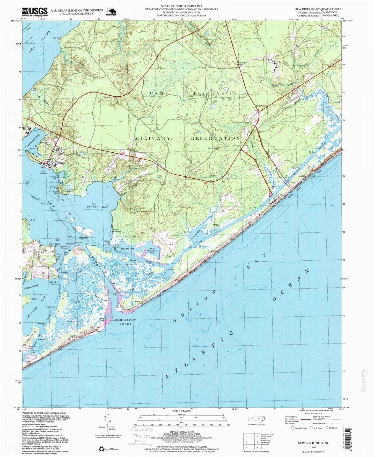
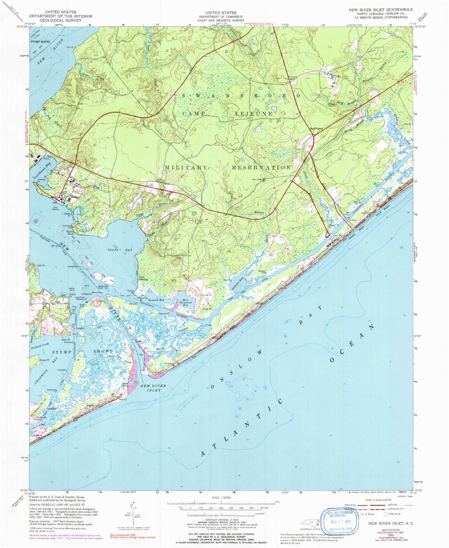
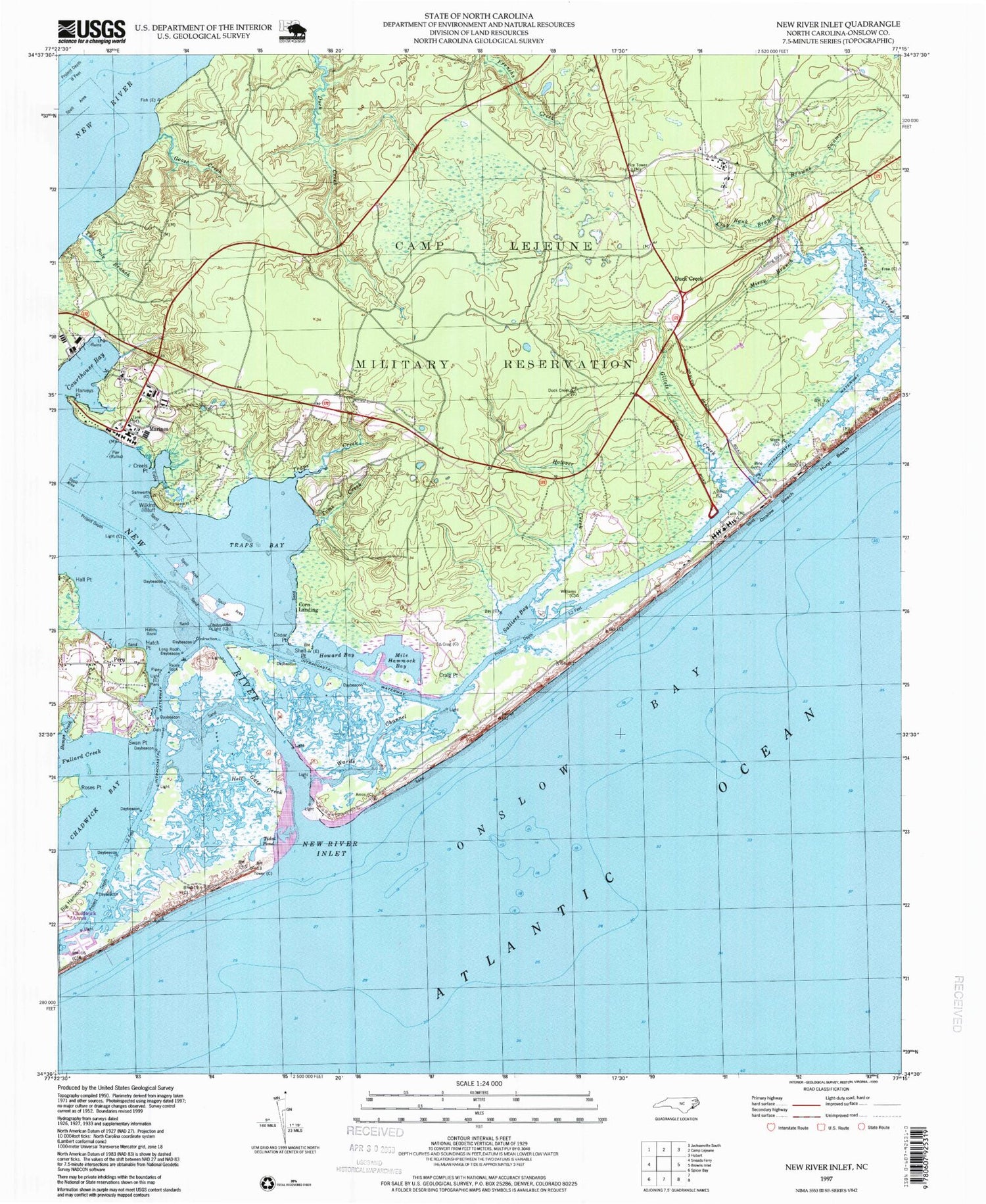
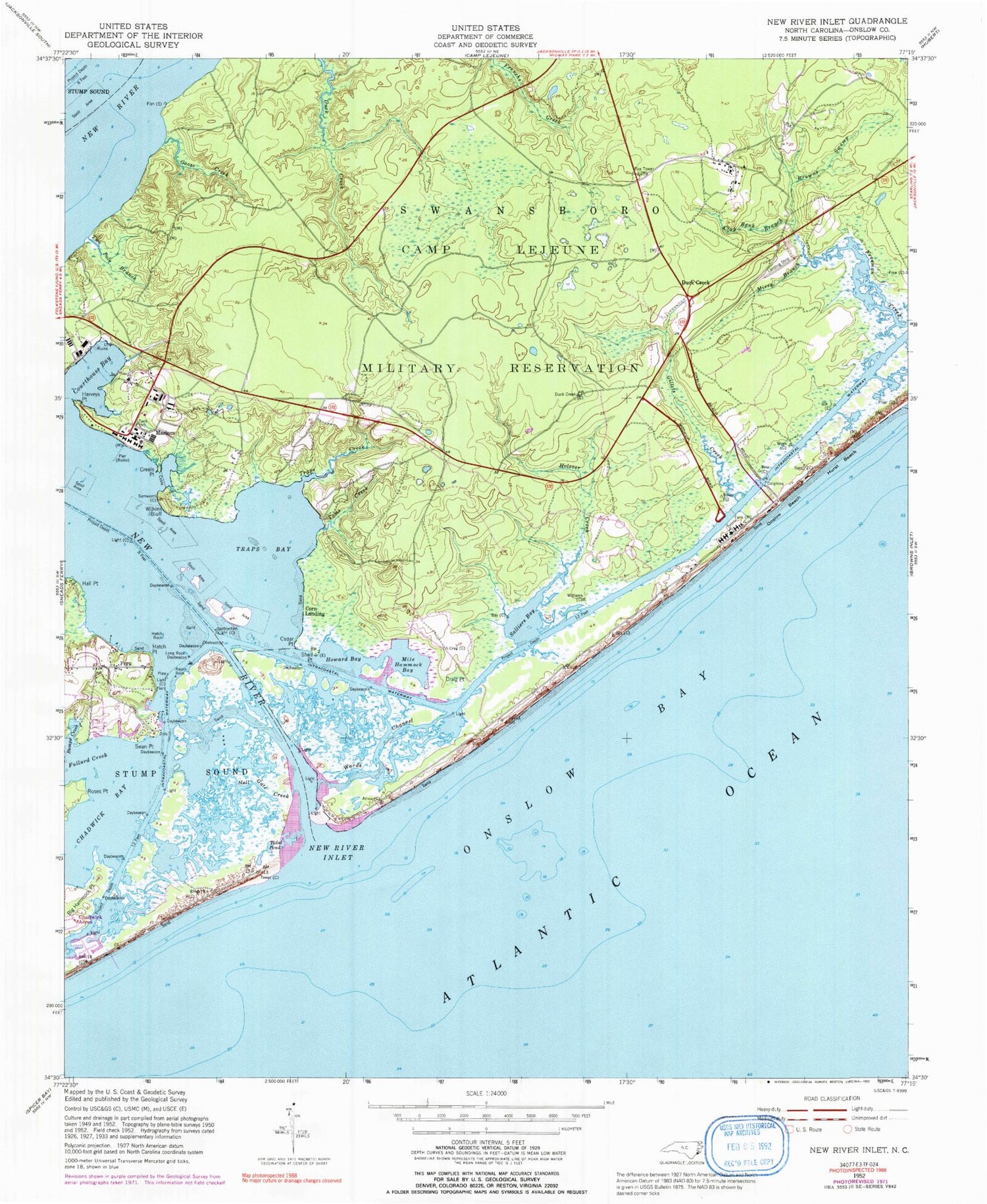
Classic USGS New River Inlet North Carolina 7.5'x7.5' Topo Map
Couldn't load pickup availability
Historical USGS topographic quad map of New River Inlet in the state of North Carolina. Map scale may vary for some years, but is generally around 1:24,000. Print size is approximately 24" x 27"
This quadrangle is in the following counties: Onslow.
The map contains contour lines, roads, rivers, towns, and lakes. Printed on high-quality waterproof paper with UV fade-resistant inks, and shipped rolled.
Contains the following named places: Big Hammock Point, Browns Swamp, Bumps Creek, Camp Lejuene Fire Department Station 7, Cedar Point, Chadwick Acres, Chadwick Bay, Clay Bank Branch, Corn Landing, Courthouse Bay, Courthouse Bay Post Office, Craig Point, Creels Point, Duck Creek, Fullard Creek, Gillets Creek, Goose Creek, Hall Point, Harvey Point, Hatch Point, Hatch Rock, Hell Gate Creek, Holover Creek, Howard Bay, Hurst Beach, Hurst Ferry, Long Rock, Marines, Mile Hammock Bay, Mirey Branch, Morgan Bay, New River, New River Inlet, North Topsail Beach Fire Department North End Station, North Topsail Shores, Onslow Beach, Peru, Raisin Rock, Roses Point, Salliers Bay, Shell Point, Swan Point, Toms Creek, Traps Bay, Traps Creek, Two Pole Branch, Wards Channel, Wilkins Bluff


