MyTopo
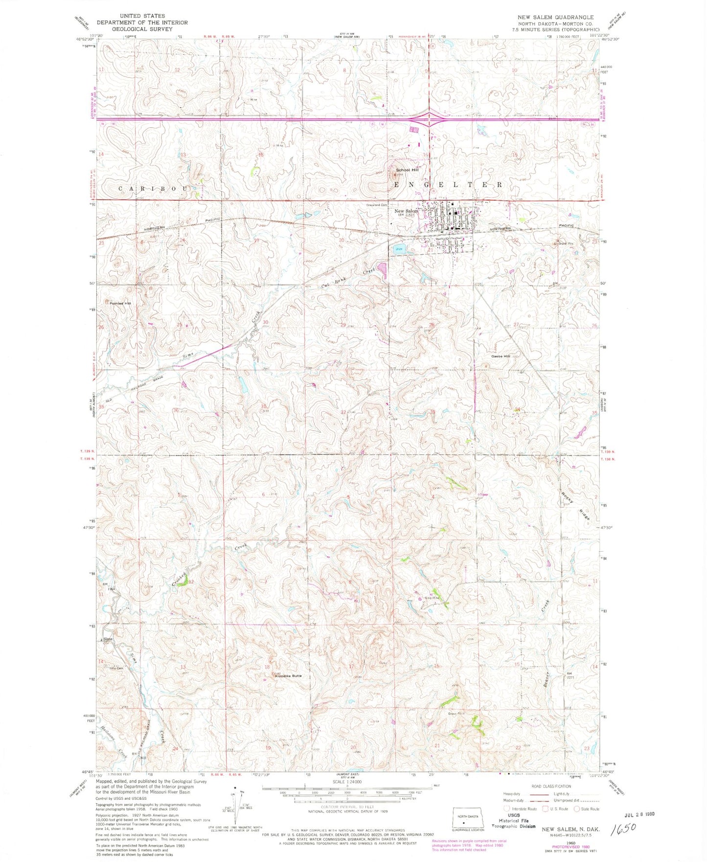
Classic USGS New Salem North Dakota 7.5'x7.5' Topo Map
Couldn't load pickup availability
Historical USGS topographic quad map of New Salem in the state of North Dakota. Map scale may vary for some years, but is generally around 1:24,000. Print size is approximately 24" x 27"
This quadrangle is in the following counties: Morton.
The map contains contour lines, roads, rivers, towns, and lakes. Printed on high-quality waterproof paper with UV fade-resistant inks, and shipped rolled.
Contains the following named places: City of New Salem, Crooked Creek, Custer Trail Museum, Cut Bank Creek, Elm Crest Manor, Gaebe Hill, Graceland Cemetery, Klondike Butte, New Salem, New Salem Ambulance Service, New Salem Fire Station, New Salem Post Office, New Salem-Almont High School, Peace Cemetery, Pointed Hill, Prairie View Elementary School, Rocky Ridge, Saint Pius V Catholic Cemetery, Salem Sue Statue, School Hill, Sims, Sims Cemetery, Township of Engelter