MyTopo
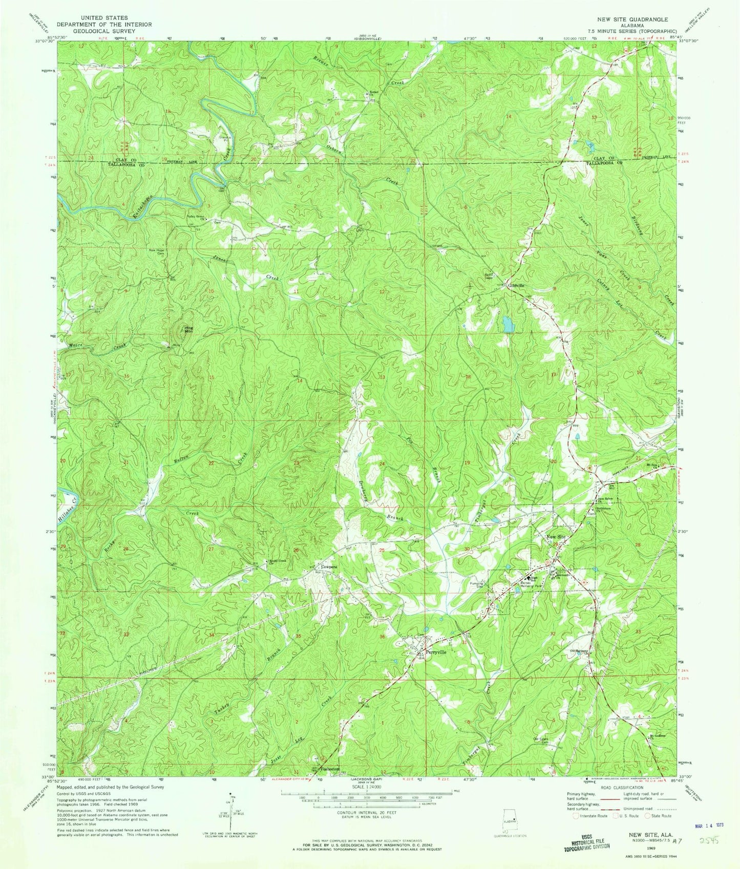
Classic USGS New Site Alabama 7.5'x7.5' Topo Map
Couldn't load pickup availability
Historical USGS topographic quad map of New Site in the state of Alabama. Map scale may vary for some years, but is generally around 1:24,000. Print size is approximately 24" x 27"
This quadrangle is in the following counties: Clay, Tallapoosa.
The map contains contour lines, roads, rivers, towns, and lakes. Printed on high-quality waterproof paper with UV fade-resistant inks, and shipped rolled.
Contains the following named places: Barnes Memorial Park, Bethel Cemetery, Bethel Church, Bethleham, Bethlehem Cemetery, Bethlehem Church, Blairs Store, Brewer Creek, Cotney Lot Creek, Cowpens, Dewberry Branch, Goldville, Hands Store, Harlan, Harmony, Harmony Cemetery, Harmony Church, Harmony Presbyterian Church, Hog Mountain, Hog Mountain Goldmine, Hutchinson Cemetery, Jones Creek, Jones Vane Creek, Kennedy Branch, McClendon Cemetery, Mount Godfrey Church, Mount Zion Church, New Hope Cemetery, New Salem Baptist Church, New Site, New Site High School, New Site Volunteer Fire and Ambulance Service, Old Salem Cemetery, Osborn Creek, Parishs Store, Patterson Dam, Patterson Lake, Perryville, Perryville Baptist Church, Piedmont Upland, Poe Branch, Reedy Spring, Rocky Creek, Rocky Creek Church, Rotton Creek, Town of Goldville, Town of New Site, Valley Grove Cemetery, Valley Grove Church, Valley Grove School, Whatley Dam, Whatley Pond, Zion Hill School


