MyTopo
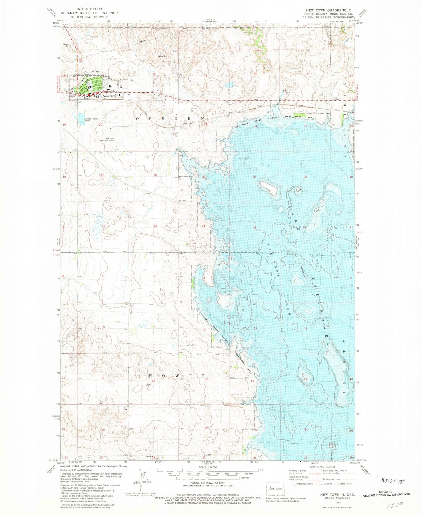
Classic USGS New Town North Dakota 7.5'x7.5' Topo Map
Couldn't load pickup availability
Historical USGS topographic quad map of New Town in the state of North Dakota. Map scale may vary for some years, but is generally around 1:24,000. Print size is approximately 24" x 27"
This quadrangle is in the following counties: Mountrail.
The map contains contour lines, roads, rivers, towns, and lakes. Printed on high-quality waterproof paper with UV fade-resistant inks, and shipped rolled.
Contains the following named places: City of New Town, Edwin Loe Elementary School, Fort Berthold Community College, Fort Berthold Community College Library, New Town, New Town Ambulance Service, New Town Cemetery, New Town Civic Center, New Town Fire Department, New Town High School, New Town Municipal Airport, New Town Police Department, New Town Post Office, New Town Public Library, Shell Creek Segment, Township of Howie, Township of Osborn