MyTopo
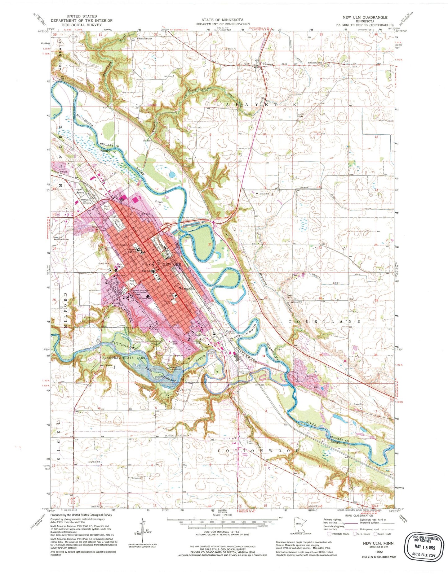
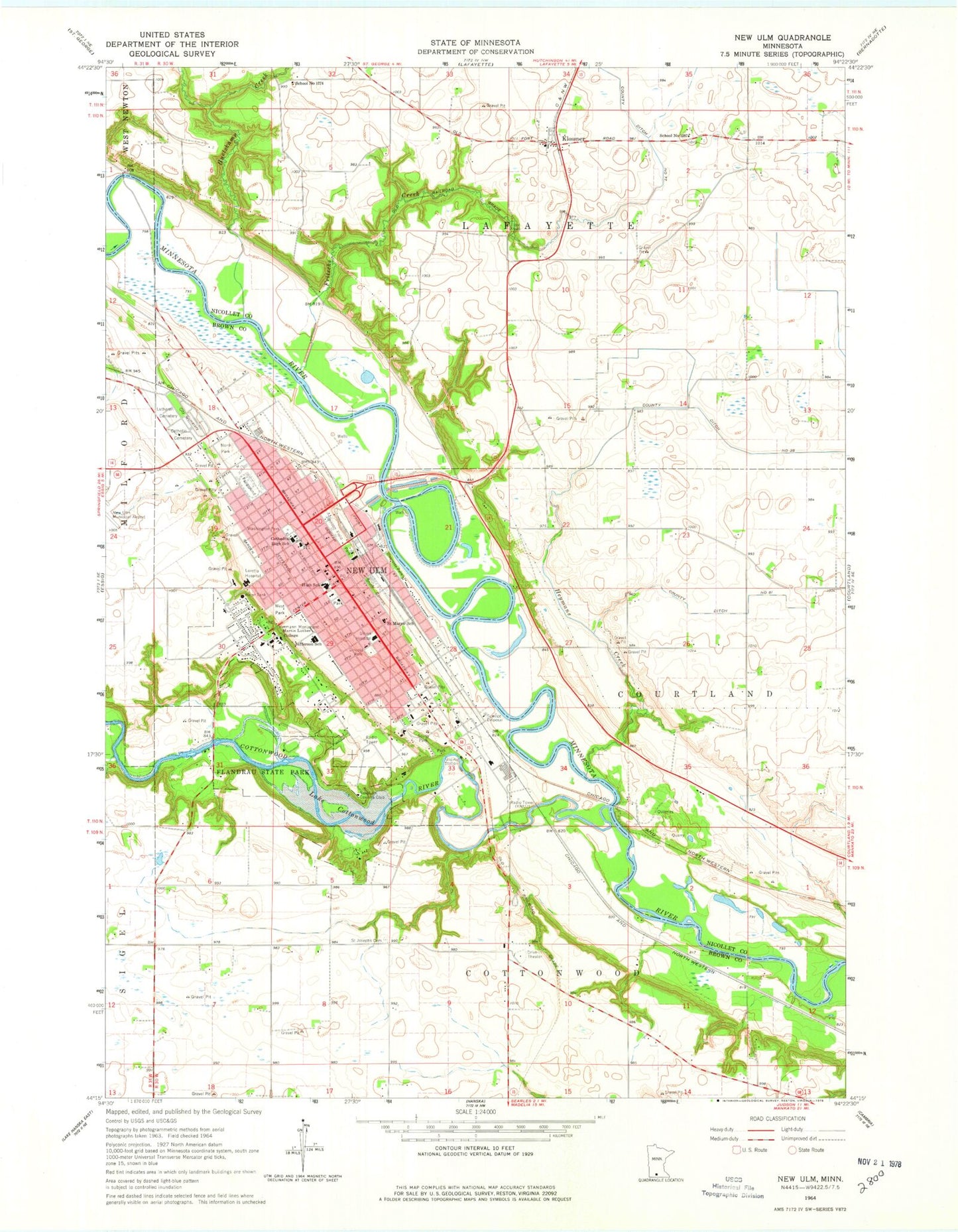
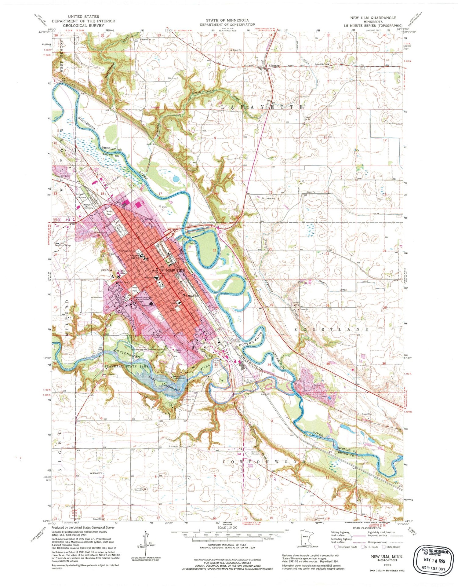
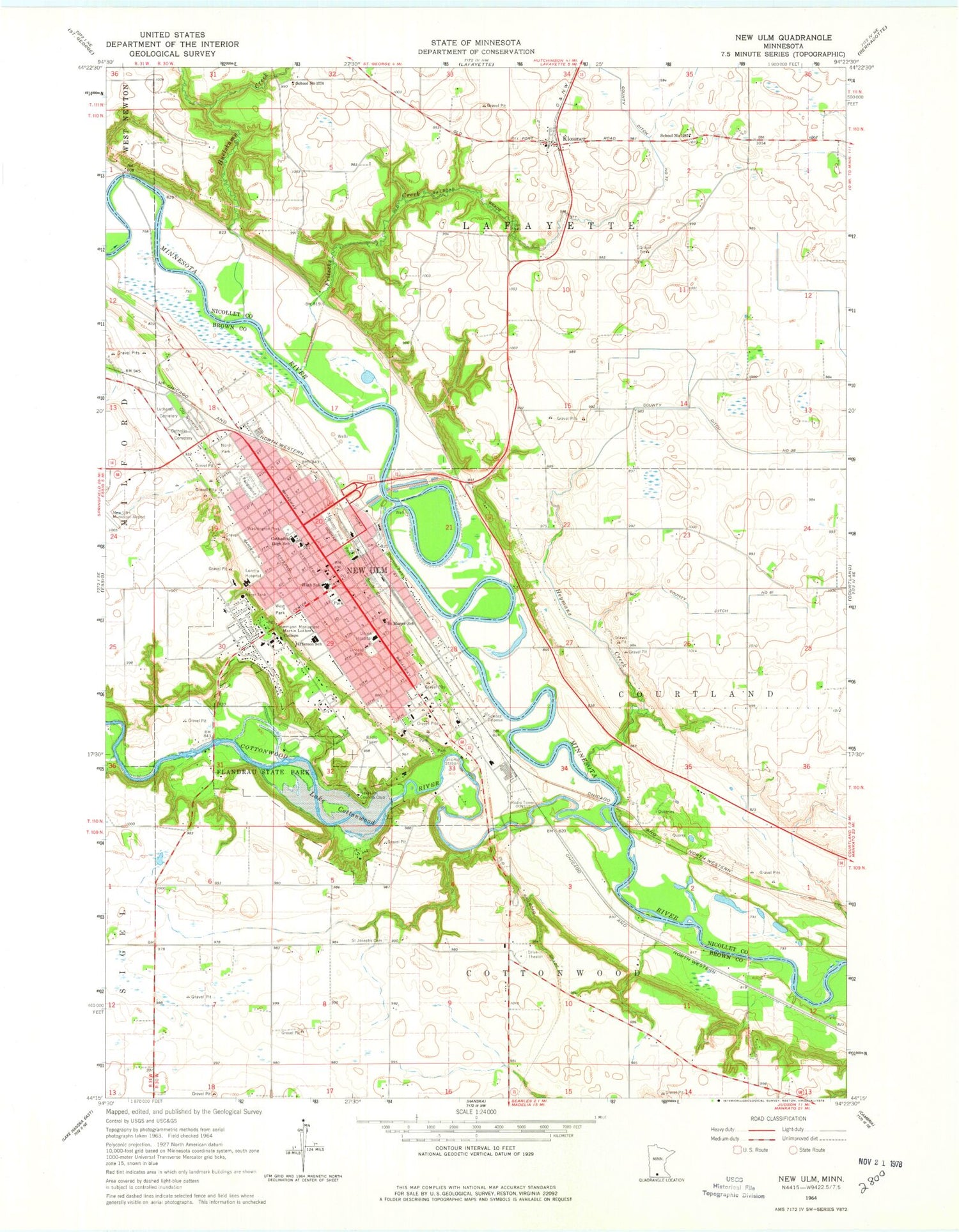
Classic USGS New Ulm Minnesota 7.5'x7.5' Topo Map
Couldn't load pickup availability
Historical USGS topographic quad map of New Ulm in the state of Minnesota. Map scale may vary for some years, but is generally around 1:24,000. Print size is approximately 24" x 27"
This quadrangle is in the following counties: Brown, Nicollet.
The map contains contour lines, roads, rivers, towns, and lakes. Printed on high-quality waterproof paper with UV fade-resistant inks, and shipped rolled.
Contains the following named places: A-Peeling Acres, Assembly of God Christian Center, Bethany Lutheran Church, Brown County Courthouse, Brown County Fairgrounds, Brown County Jail, Brown County Museum, Brown County Sheriff's Office, Brown County Veterans Memorial, Cathedral High School, Cathedral of the Holy Trinity, Charles Eugene Flandrau Historical Marker, Christ the King Lutheran Church, City of New Ulm, Cottonwood River, County Ditch Number Eightyone, Defenders' State Monument, Evangelical Free Church, Faith Lutheran Church, First Baptist Church, First School Historical Marker, First United Methodist Church, First White Child Historical Marker, Flandrau State Park, Frank Steele Steamboat Landing Historical Marker, Fritsche Creek, German - Bohemian Monument, Harman Park, Hermann Heights Park, Hermann Monument, Heymans Creek, Highland Park, Holy Trinity Middle School, Huelskamp Creek, Indian Massacre Monument, Jefferson Elementary School, John Lind House, Johnson Field, Johnson Park, Junior Pioneer Marker, Kielsing Park, Kingdom Hall of Jehovah's Witnesses, Klossner, Klossner Post Office, KNUJ-AM (New Ulm), Lake Cottonwood, Lincoln Park, Lutheran Elementary School, Marketplatz Mall, Martin Luther College, Minnecon Park, Minnesota Music Hall of Fame Museum, Minnesota River Valley Juvenile Detention Center, Museum of Brewing, Nagel Monument, Nehls Park, New Ulm, New Ulm Catholic Cemetery, New Ulm Christian School, New Ulm City Cemetery, New Ulm City Hall, New Ulm Country Club, New Ulm Fire Department Engine House 1 Main Station, New Ulm Fire Department Engine House 3 Goosetown Station, New Ulm High School, New Ulm Junior High School, New Ulm Medical Center, New Ulm Mobile Village, New Ulm Police Department, New Ulm Post Office, New Ulm Public Library, New Ulm Spring Roadside Parking Area Historical Marker, New Ulm Spring Wayside Park, North German Park, North Market Park, North Park, Nova House, Oak Hills Living Center, Oakwood United Methodist Church, Our Saviour's Lutheran Church, Pioneer Memorial Marker, Redeemer Lutheran Church, River Valley Church, Riverside Park, Saint Anthony Elementary School, Saint George School, Saint John's Catholic Church, Saint John's Lutheran Church, Saint Josephs Cemetery, Saint Mary's Catholic Church, Saint Marys School, Saint Paul's Evangelical Lutheran Church, Saint Paul's Lutheran Cemetery, Saint Paul's Lutheran School, Saint Peter's Episcopal Church, Salem Methodist Cemetery, Schonlau Park, School Number 1274, School Number 1287, Sioux Valley Hospital Heliport, Skate Park, South German Park, South Park, Spanish American War Historical Marker, Stadick Farm, Steinhauser Park, The Church of Jesus Christ of Latter Day Saints, Traulich Estates, Union Hospital, United Church of Christ, Victory in Jesus Fellowship, Wanda Gag House, Washington Elementary School, Washington Park, Way of the Cross, West Park, Zion Lutheran Church, ZIP Code: 56073


