MyTopo
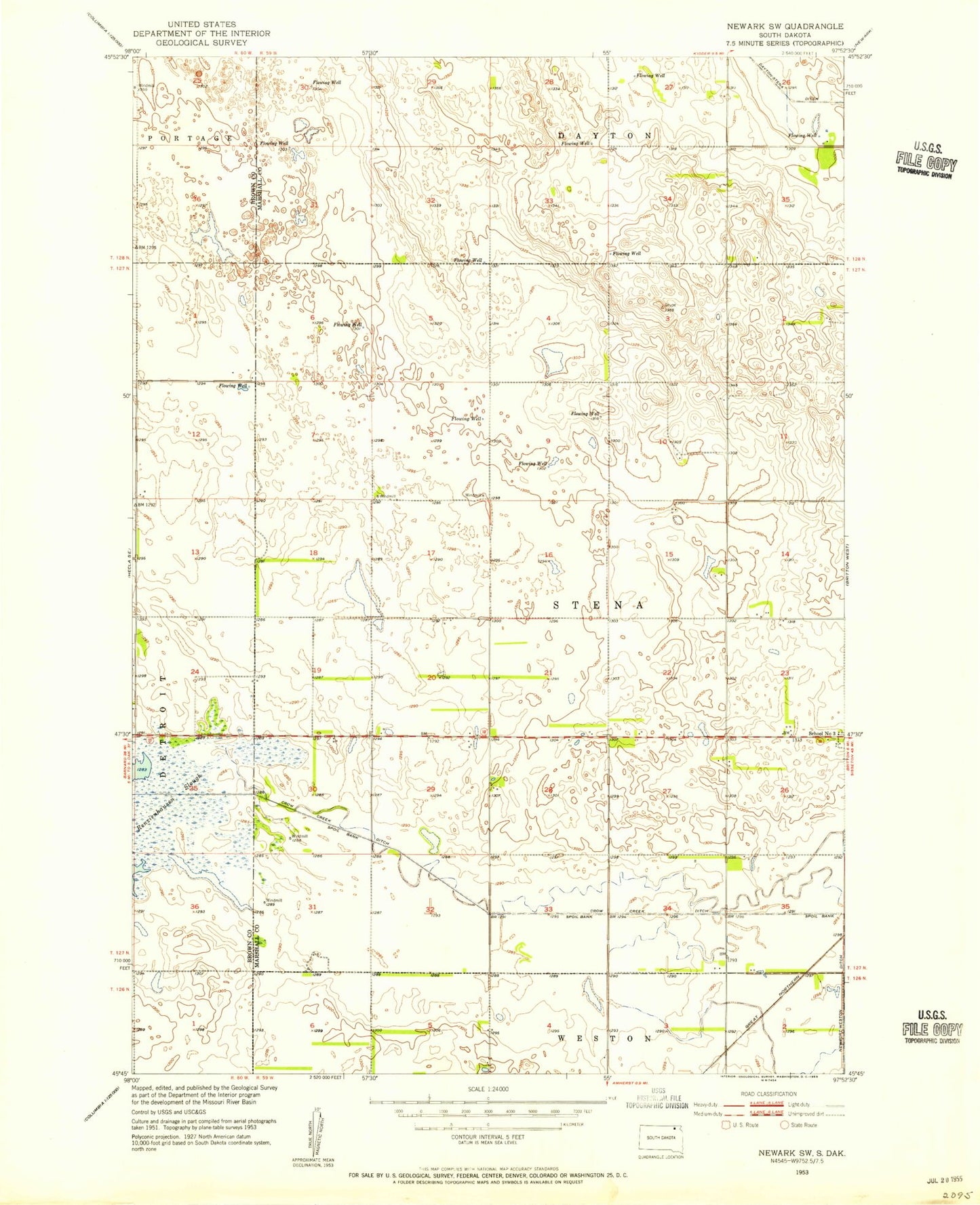
Classic USGS Newark SW South Dakota 7.5'x7.5' Topo Map
Couldn't load pickup availability
Historical USGS topographic quad map of Newark SW in the state of South Dakota. Map scale may vary for some years, but is generally around 1:24,000. Print size is approximately 24" x 27"
This quadrangle is in the following counties: Brown, Marshall.
The map contains contour lines, roads, rivers, towns, and lakes. Printed on high-quality waterproof paper with UV fade-resistant inks, and shipped rolled.
Contains the following named places: Crow Creek, Crow Creek Ditch, Dayton, Dayton-Stena Ditch, Renzienhausen Slough, School Number 3, Sunset Colony Census Designated Place, Sunset Colony Elementary School, Sunset Farmers Co-op Colony, Sunset Fire Department, Township of Hartford, Township of Stena, ZIP Code: 57421