MyTopo
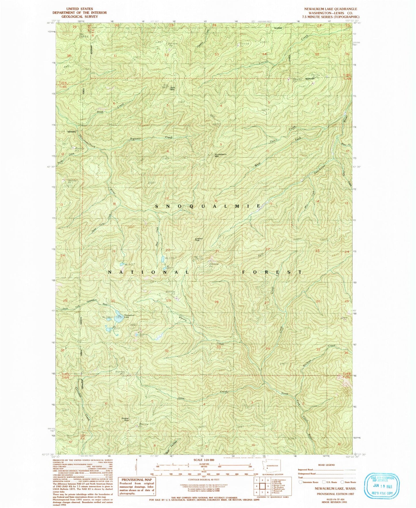
Classic USGS Newaukum Lake Washington 7.5'x7.5' Topo Map
Couldn't load pickup availability
Historical USGS topographic quad map of Newaukum Lake in the state of Washington. Map scale may vary for some years, but is generally around 1:24,000. Print size is approximately 24" x 27"
This quadrangle is in the following counties: Lewis.
The map contains contour lines, roads, rivers, towns, and lakes. Printed on high-quality waterproof paper with UV fade-resistant inks, and shipped rolled.
Contains the following named places: Bald Mountain, Bigwater Creek, Deer Creek, Drop Creek, Hard Creek, Huckleberry Mountain, Huckleberry Mountain Lookout, Jesse Creek, KXXO-FM (Olympia), Little Creek, Lookout Peak, Mine Creek, Newaukum Lake, Newaukum Lookout, Range Creek, Rockies Creek, Rooster Rock, Thorn Creek, Three Forks Creek, Ware Creek, West Fork Deschutes River, Winnie Creek, ZIP Code: 98533