MyTopo
Classic USGS Newberry NW South Carolina 7.5'x7.5' Topo Map
Couldn't load pickup availability
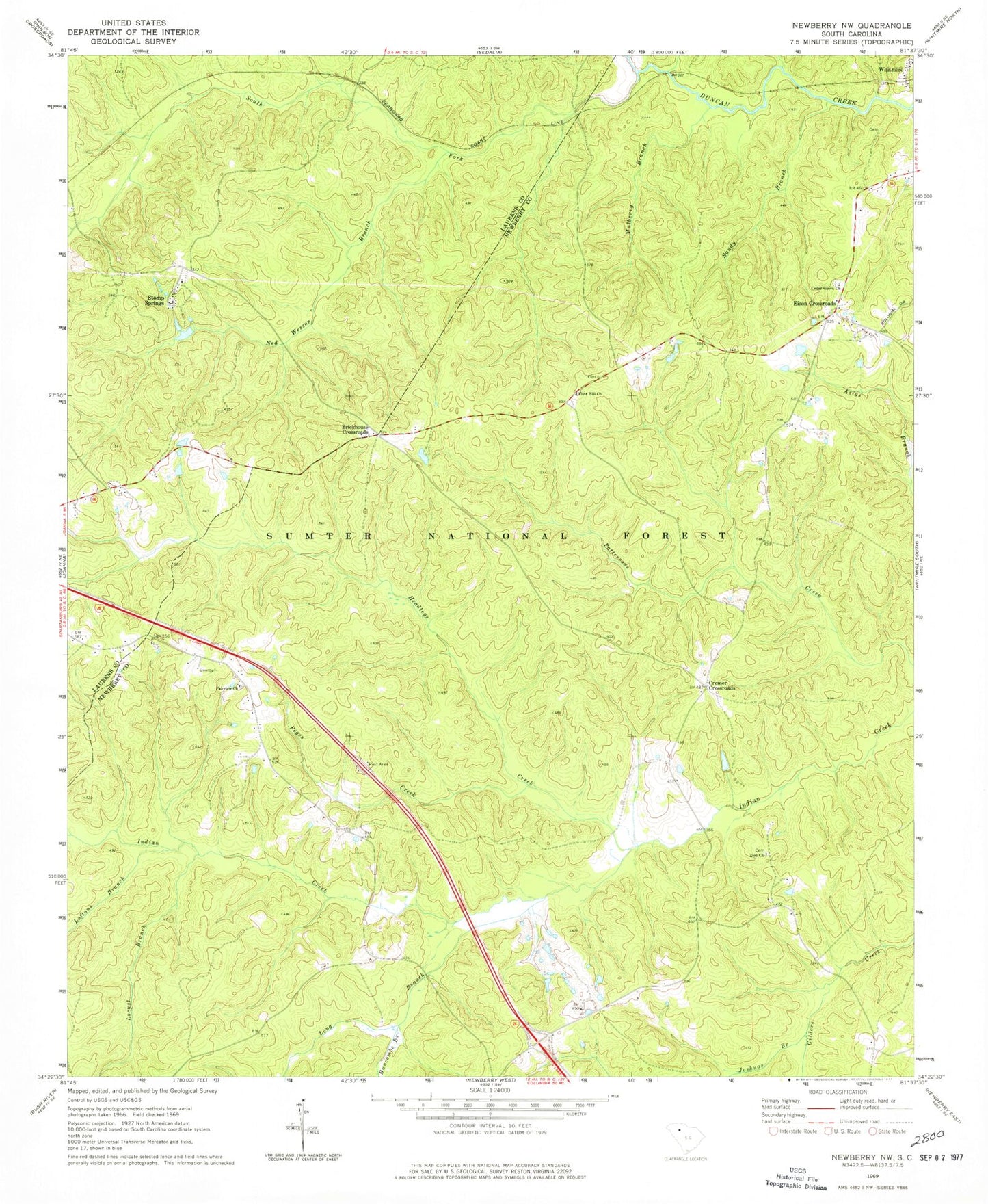
Historical USGS topographic quad map of Newberry NW in the state of South Carolina. Typical map scale is 1:24,000, but may vary for certain years, if available. Print size: 24" x 27"
This quadrangle is in the following counties: Laurens, Newberry.
The map contains contour lines, roads, rivers, towns, and lakes. Printed on high-quality waterproof paper with UV fade-resistant inks, and shipped rolled.
Contains the following named places: Mulberry Branch, Cedar Grove Church, Cedar Grove School (historical), Cromer School (historical), Fairview Cemetery, Flint Hill School (historical), Flinthill Cemetery, Gilliam Chapel School (historical), Mount Table School (historical), Tabernacle Church, Tabernacle School (historical), Zion Cemetery, Buncombe Branch, Headleys Creek, Joshuas Branch, Locust Branch, Loftons Branch, Long Branch, Ned Wesson Branch, Sandy Branch, South Fork Duncan Creek, Stomp Springs, Garlington (historical), Garlington School (historical), Mount Tabor Cemetery, Brickhouse Crossroads, Cedar Grove Church, Cromer Crossroads, Eison Crossroads, Fairview Church, Flint Hill Church, Peges Creek, Zion Church, Brick House Campground, Flannigans Branch, Drysacks Branch, Georges Branch, Mount Tabor Church (historical), Tabernacle Church (historical)