MyTopo
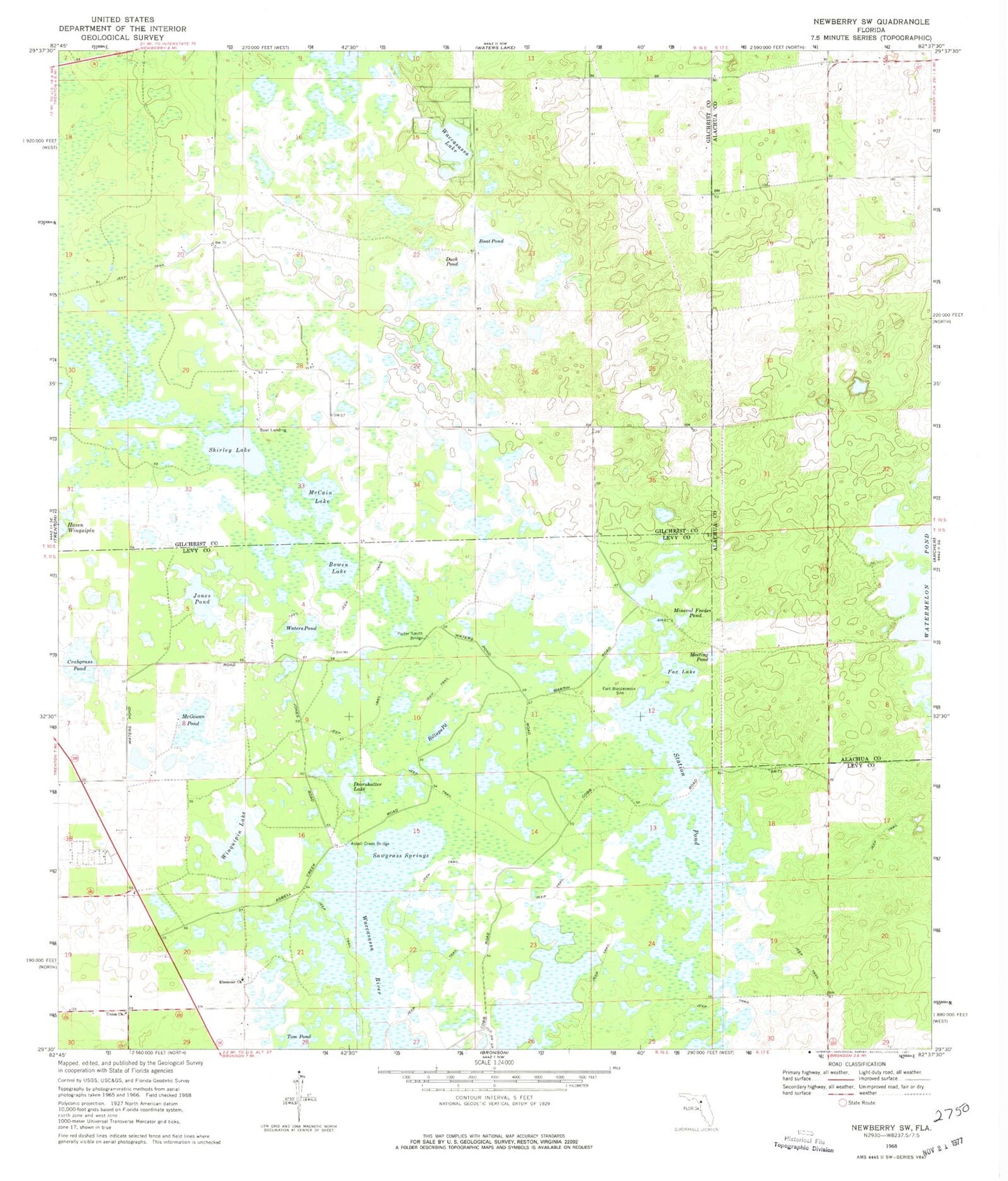
Classic USGS Newberry SW Florida 7.5'x7.5' Topo Map
Couldn't load pickup availability
Historical USGS topographic quad map of Newberry SW in the state of Florida. Map scale may vary for some years, but is generally around 1:24,000. Print size is approximately 24" x 27"
This quadrangle is in the following counties: Alachua, Gilchrist, Levy.
The map contains contour lines, roads, rivers, towns, and lakes. Printed on high-quality waterproof paper with UV fade-resistant inks, and shipped rolled.
Contains the following named places: Asbell Creek Bridge, Billups Pond, Boat Pond, Bowen Lake, Crabgrass Pond, Doorshutter Lake, Duck Pond, Ebenezer Church, Fox Lake, Jones Pond, McCain Lake, McGowen Pond, Meeting Pond, Mineral Feeder Pond, Newton, Porter Smith Bridge, Sawgrass Springs, Shirley Lake, Station Pond, Tom Pond, Union Church, Waccasassa Lake, Waccasassa River, Watermelon Pond, Waters Pond, Winquipin Lake


