MyTopo
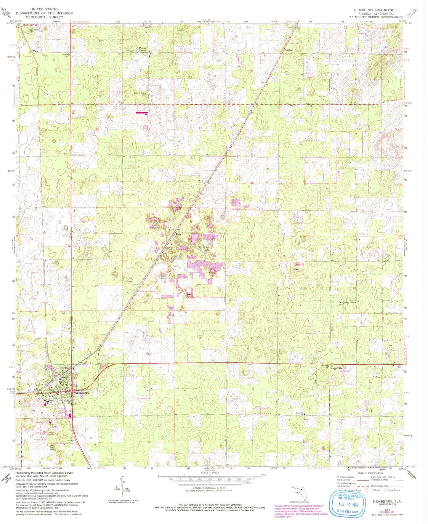
Classic USGS Newberry Florida 7.5'x7.5' Topo Map
Couldn't load pickup availability
Historical USGS topographic quad map of Newberry in the state of Florida. Map scale may vary for some years, but is generally around 1:24,000. Print size is approximately 24" x 27"
This quadrangle is in the following counties: Alachua.
The map contains contour lines, roads, rivers, towns, and lakes. Printed on high-quality waterproof paper with UV fade-resistant inks, and shipped rolled.
Contains the following named places: African Methodist Episcopal Church, Bethel African Methodist Episcopal Church, Cadillac, Christian Life Fellowship, City of Newberry, Country Side Mobile Home Annex, Destiny Community Church, Evergreen Church, First Baptist of Newberry, First United Methodist Church, Forest Grove, Forest Grove Baptist Church, Forest Grove Cemetery, Forest Grove Forestry Site, Haile, Jones Temple Church of God Before Faith, Jonesville, Jonesville Baptist Church, Jonesville Cemetery, Mount Zura Baptist Church, Newberry, Newberry Branch Alachua County Library, Newberry Church of Christ, Newberry City Hall, Newberry Elementary School, Newberry Fire Department, Newberry High School, Newberry High School Football Stadium, Newberry Municipal Cemetery, Newberry Post Office, Newberry Sports Complex North, Oak Dale Baptist Church, Oak View Middle School, Pleasant Plain Church, Sullivan Field, Union Baptist Church, Wade, West Park, Westside Church of Christ, ZIP Code: 32669


