MyTopo
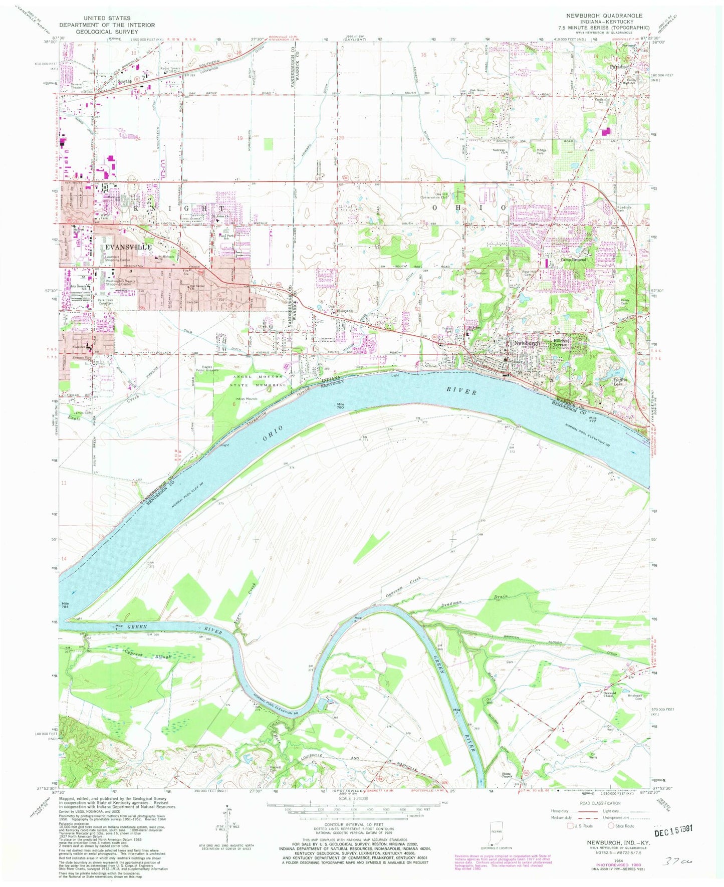
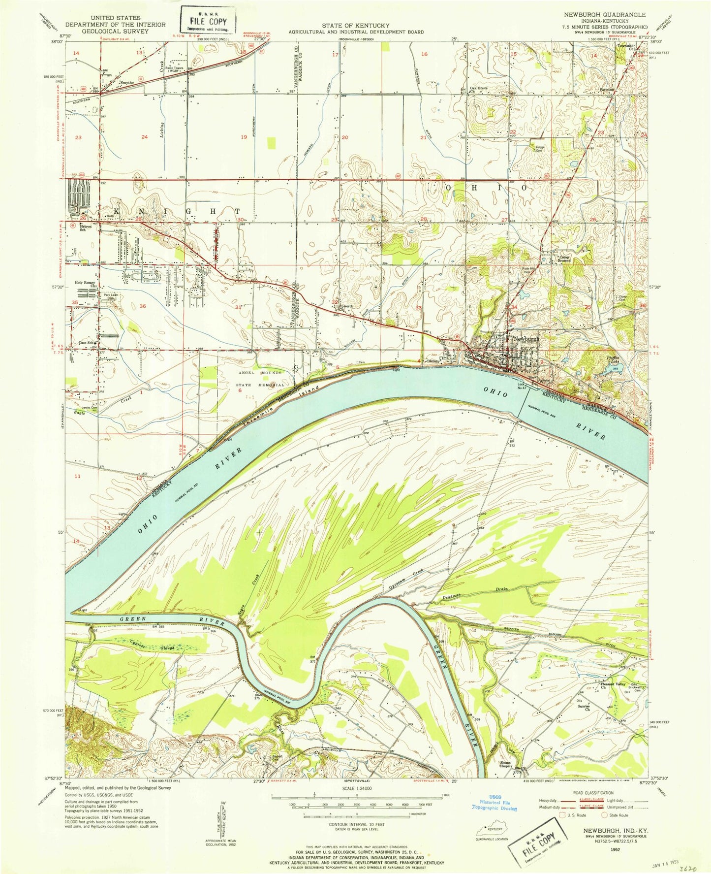
Classic USGS Newburgh Indiana 7.5'x7.5' Topo Map
Couldn't load pickup availability
Historical USGS topographic quad map of Newburgh in the states of Indiana, Kentucky. Typical map scale is 1:24,000, but may vary for certain years, if available. Print size: 24" x 27"
This quadrangle is in the following counties: Henderson, Vanderburgh, Warrick.
The map contains contour lines, roads, rivers, towns, and lakes. Printed on high-quality waterproof paper with UV fade-resistant inks, and shipped rolled.
Contains the following named places: Akin Ditch, Angel Mounds State Memorial, Camp Brosend, Sharon Cemetery, Castle High School, John H Castle Elementary School, Eagles Picnic Grounds, Edwards Ditch, Gateway Church, Harper Ditch, Harrison School, Hebron School, Hedge Cemetery, Hillcrest Terrace, Holy Rosary School, James Cemetery, Kolb Ditch, Lockwood Ditch, Nurenbern Ditch, Oak Grove Church, Our Savior Church, Paradise, Park Lawn Cemetery and Mausoleum, Plaza Park School, Rose Hill Cemetery, Saint Johns Church, Saint John the Baptist School, Saint Michaels Church, Smythe, South Willow Pond Ditch, Stockfleith Ditch, Townsend Church, Washington Square Shopping Center, Williams Ditch, Plaza Park Elementary and Junior High School, Newburgh Elementary School, Caze Elementary and Junior High School, Habron Elementary and Junior High School, Holy Rosary School, Harrison Village Mall, Green River Plaza, Pleasant View Church, Lawndale Shopping Center, Oak Hill Conservation Club, Newburgh, Pfafflin Lake, Township of Knight, Township of Ohio, Threemile Island, Town of Newburgh, Newburgh Volunteer Fire Department, Ohio Township Fire Department Station 2, Evansville Fire Department Station 9, Evansville Fire Department Station 6, Knight Township Fire Department Company 7 (historical), Encompass Health Deaconess Rehabilitation Hospital, The Womans Hospital, Deaconess Gateway Hospital, Deaconess Cross Pointe, Women's Hospital, Newburgh Police Department, Lawndale Post Office, Newburgh Post Office, Baskett Cemetery, Black Slough Ditch, Brickwall Cemetery, Cypress Slough, Deadman Drain, Green River, Negro Creek, Oakwood Chapel (historical), Opossum Creek, Race Creek, Sloans Chapel


